MyTopo
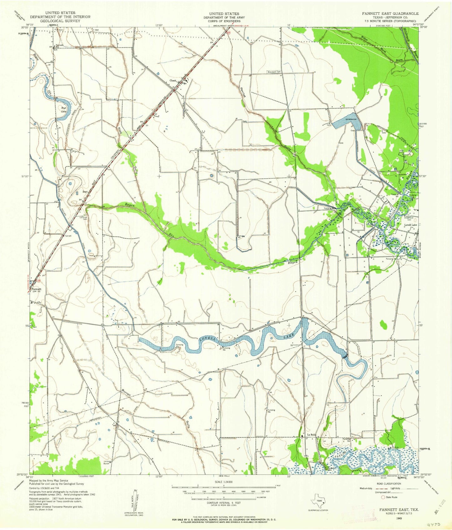
Classic USGS Fannett East Texas 7.5'x7.5' Topo Map
Couldn't load pickup availability
Historical USGS topographic quad map of Fannett East in the state of Texas. Map scale may vary for some years, but is generally around 1:24,000. Print size is approximately 24" x 27"
This quadrangle is in the following counties: Jefferson.
The map contains contour lines, roads, rivers, towns, and lakes. Printed on high-quality waterproof paper with UV fade-resistant inks, and shipped rolled.
Contains the following named places: Bayou Din, Bayou Din Golf Club, Boyt Lake, Broussard Cemetery, Cheek, Fannett Census Designated Place, Fannett Church of Christ, Fannett School, Galloway, Hillebrandt Cemetery, Jefferson Canal, Kelley Crop Service Airport, Kidd Gully, La Belle, Labelle - Fannett Volunteer Fire Department / Emergency Medical Services Substation, Labelle Division, Labelle Fannett Volunteer Fire Department, Landrum Cemetery, Lovell Lake, Lovell Lake Oil Field, Pevitot Gully, Port Arthur Country Club, Red Haw Gully, Spindletop-Gladys City Boomtown Museum, Willow Marsh Bayou, ZIP Code: 77705


