MyTopo
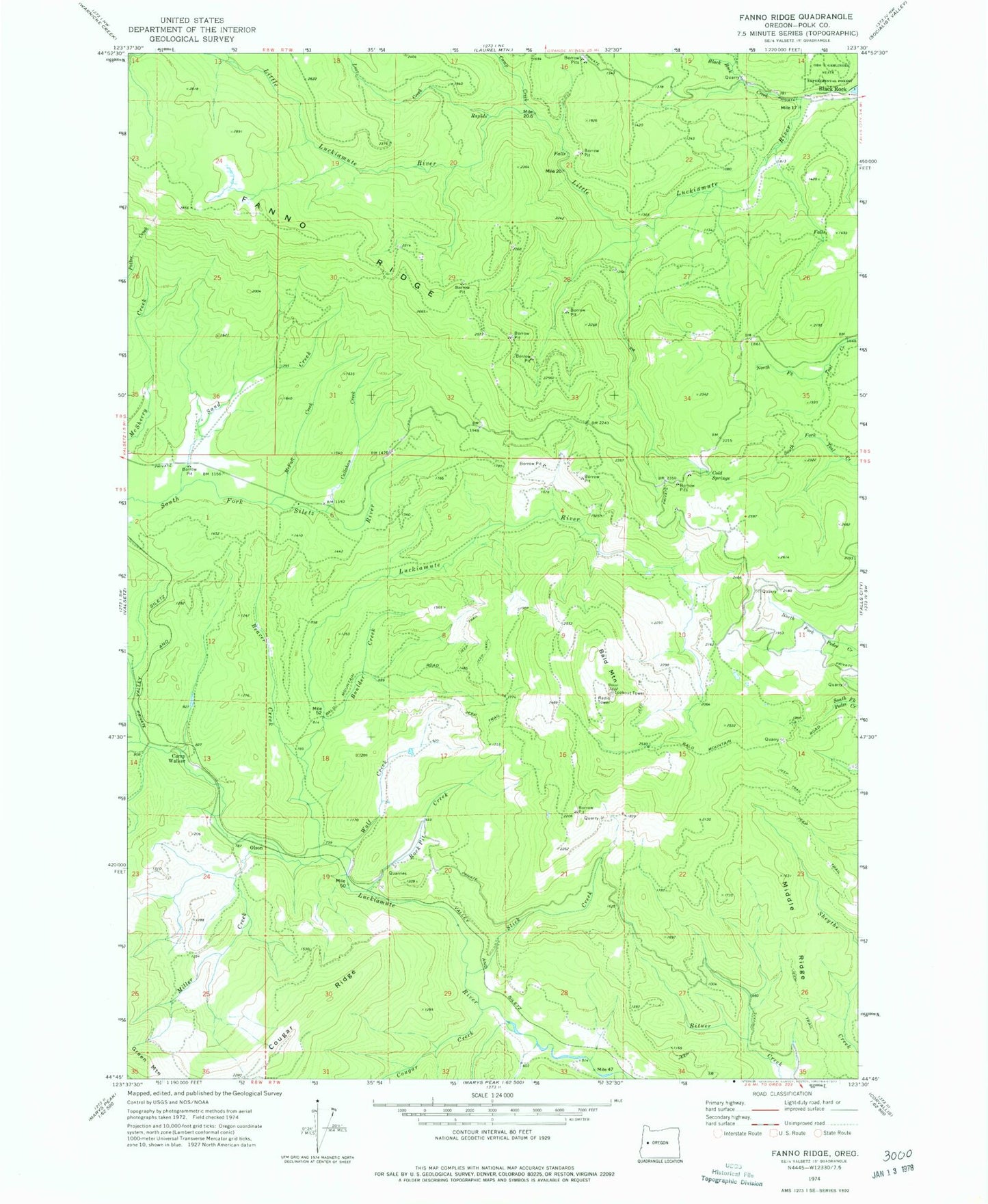
Classic USGS Fanno Ridge Oregon 7.5'x7.5' Topo Map
Couldn't load pickup availability
Historical USGS topographic quad map of Fanno Ridge in the state of Oregon. Map scale may vary for some years, but is generally around 1:24,000. Print size is approximately 24" x 27"
This quadrangle is in the following counties: Polk.
The map contains contour lines, roads, rivers, towns, and lakes. Printed on high-quality waterproof paper with UV fade-resistant inks, and shipped rolled.
Contains the following named places: Bald Mountain, Beaver Creek, Black Rock Creek, Boulder Creek, Callahan Creek, Camp Creek, Camp Walker, Cold Springs, Cougar Creek, Cougar Ridge, Falls City Division, Fanno Ridge, Lost Creek, McFall Creek, Middle Ridge, Miller Creek, Olson, Rock Pit Creek, Sand Creek, Slick Creek, Summit Siding, Valsetz Guard Station, Wolf Creek