MyTopo
Classic USGS Faris School Montana 7.5'x7.5' Topo Map
Regular price
$16.95
Regular price
Sale price
$16.95
Unit price
per
Couldn't load pickup availability
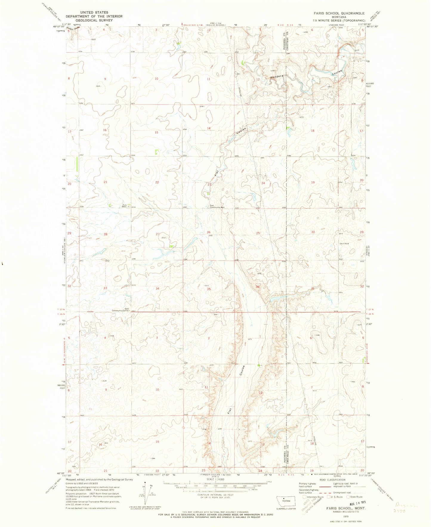
Historical USGS topographic quad map of Faris School in the state of Montana. Map scale may vary for some years, but is generally around 1:24,000. Print size is approximately 24" x 27"
This quadrangle is in the following counties: Chouteau, Pondera.
The map contains contour lines, roads, rivers, towns, and lakes. Printed on high-quality waterproof paper with UV fade-resistant inks, and shipped rolled.
Contains the following named places: East Community Center, East Community Well, Faris School, Just Barely Dam, McLean and Sons Incorporated Number 1 Dam, Ponderosa Pine Dam, ZIP Code: 59416