MyTopo
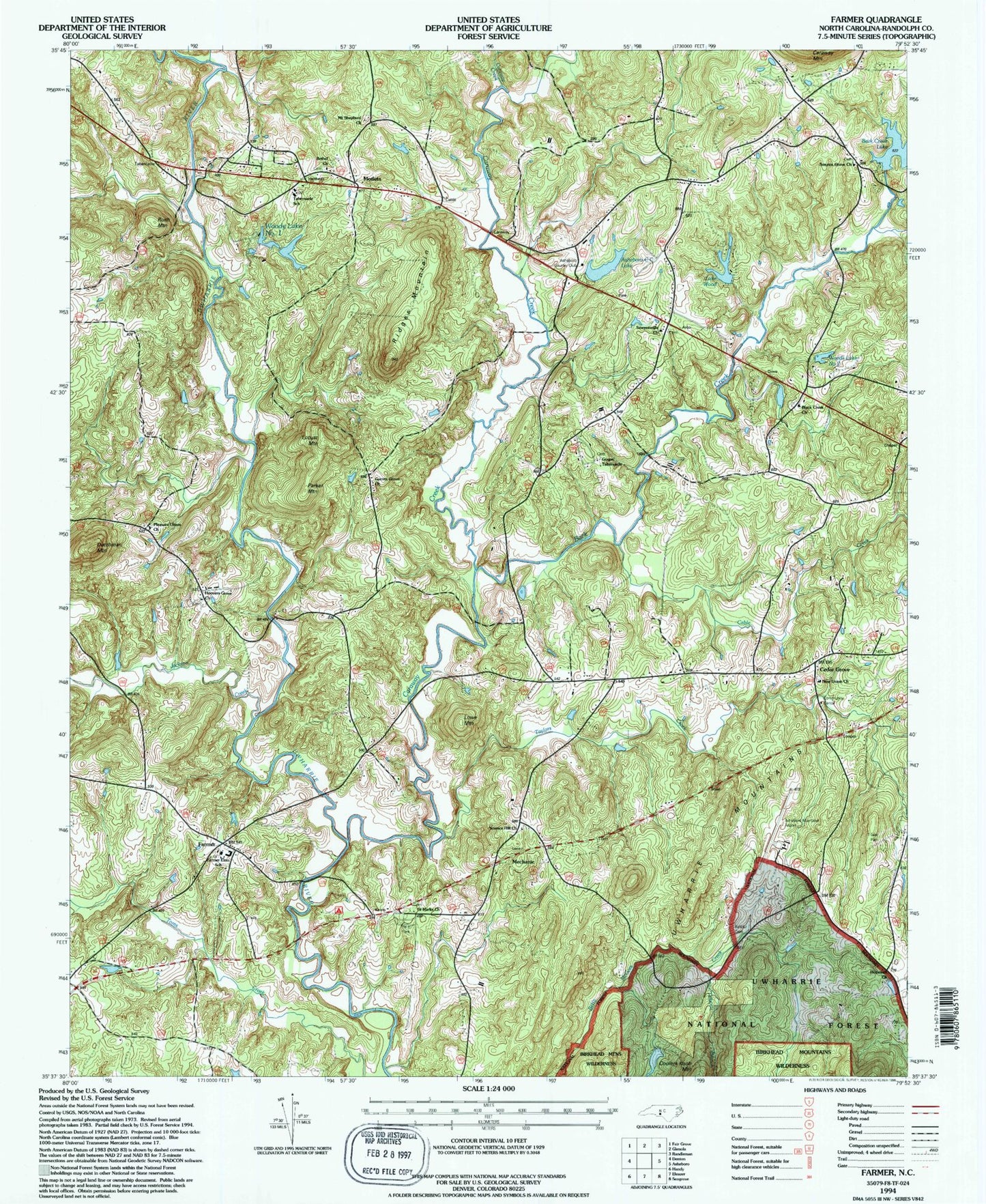
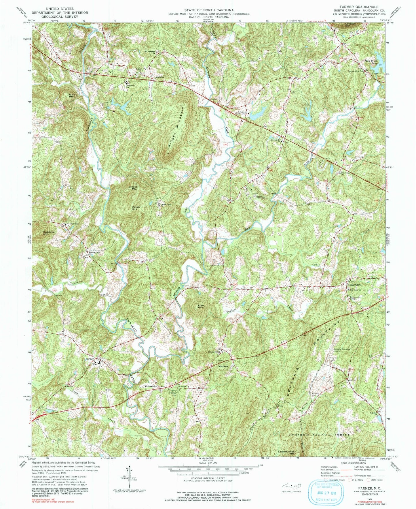
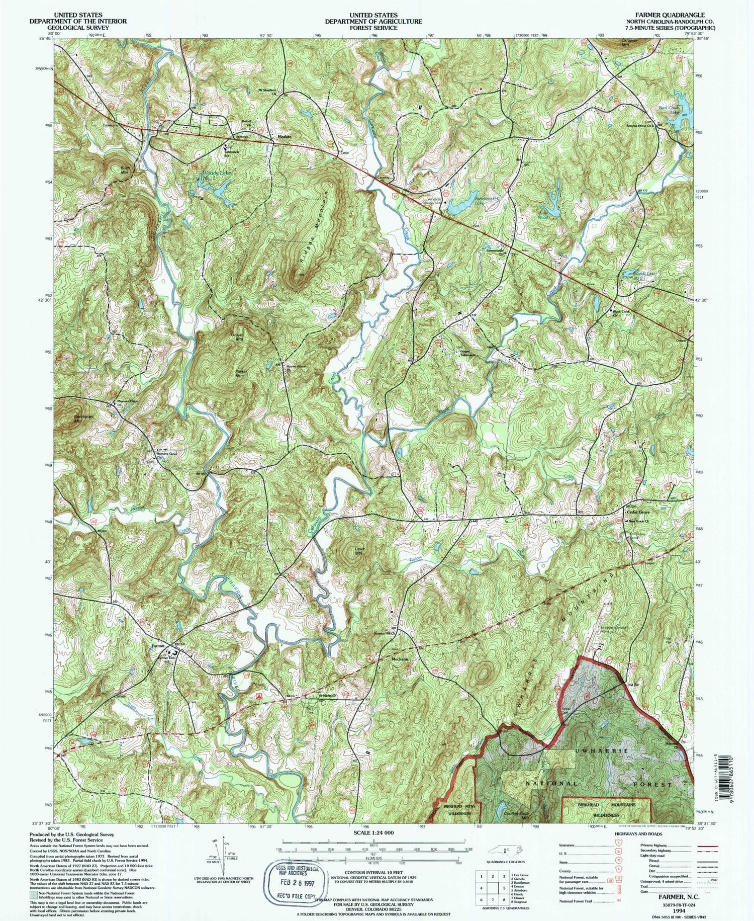
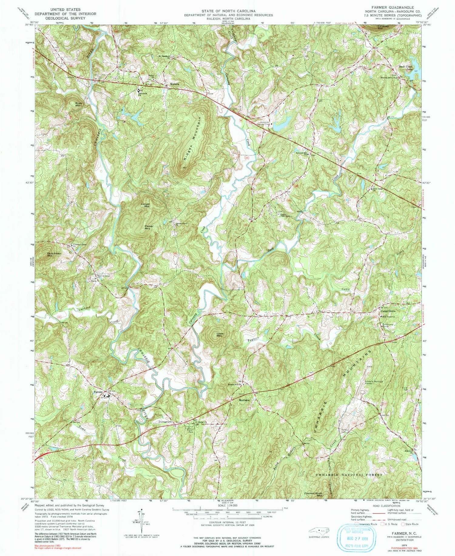
Classic USGS Farmer North Carolina 7.5'x7.5' Topo Map
Couldn't load pickup availability
Historical USGS topographic quad map of Farmer in the state of North Carolina. Typical map scale is 1:24,000, but may vary for certain years, if available. Print size: 24" x 27"
This quadrangle is in the following counties: Randolph.
The map contains contour lines, roads, rivers, towns, and lakes. Printed on high-quality waterproof paper with UV fade-resistant inks, and shipped rolled.
Contains the following named places: Tabernacle School, Asheboro Country Club, Back Creek, Back Creek Church, Balfour Cemetery, Bethel Church, Cable Creek, Caraway Creek, Cedar Fork Creek, Cedar Grove, Farmer, Garren Grove Church, Gospel Tabernacle, Hoovers Grove Church, Hopewell Church, Jackson Creek, Little Caraway Creek, Mechanic, Motleta, Mount Shepherd Church, New Union Church, Pleasant Union Church, Ridges Mountain, Saint Marks Church, Sawyersville Church, Science Hill Church, Smyrna Grove Church, Talbotts Branch, Taylors Creek, Asheboro Regional Airport, Lake Wood Dam, Lake Wood, Asheboro County Club Lake, Asheboro Country Club Lake Dam, Woods Lake Dam Upper, Woods Lake Number Two, Woods Lake Dam Lower, Woods Lake Number One, Clyde Lucas Lake Dam, W Clyde Lucas Lake, Farmer Elementary School, Dutchman Mountain, Locust Mountain, Lowe Mountain, Parker Mountain, Rush Mountain, Township of Cedar Grove, Township of Concord, Farmer Fire Department, Westside Volunteer Fire and Rescue Station 23, Spencer Field, Delk's Airport


