MyTopo
Classic USGS Farmersville Texas 7.5'x7.5' Topo Map
Couldn't load pickup availability
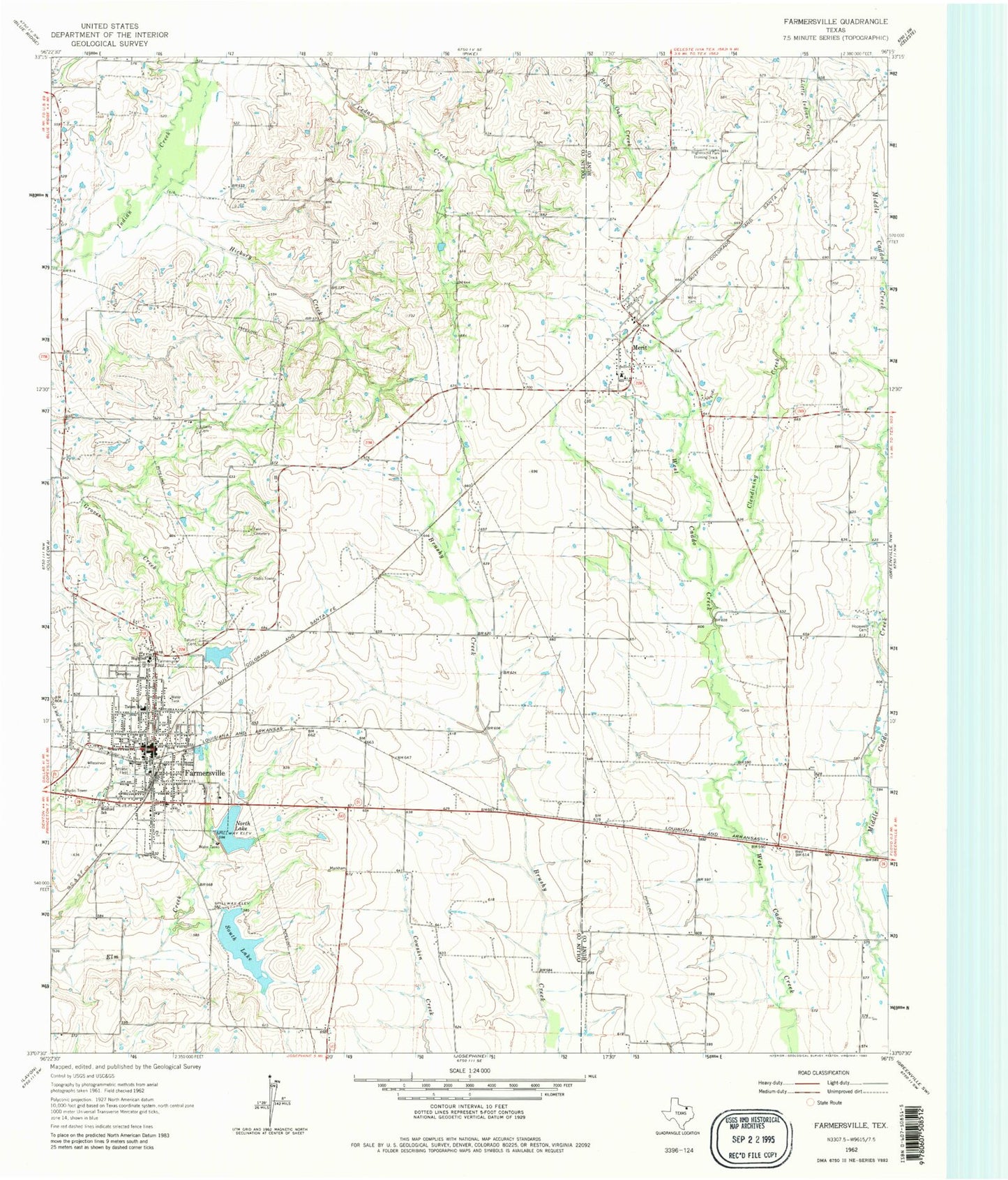
Historical USGS topographic quad map of Farmersville in the state of Texas. Map scale may vary for some years, but is generally around 1:24,000. Print size is approximately 24" x 27"
This quadrangle is in the following counties: Collin, Hunt.
The map contains contour lines, roads, rivers, towns, and lakes. Printed on high-quality waterproof paper with UV fade-resistant inks, and shipped rolled.
Contains the following named places: Aston Building, City of Farmersville, Clendining Creek, Collin County Constable's Office Precinct 2, Farmer Stadium, Farmersville, Farmersville City Hall, Farmersville High School, Farmersville Junior High School, Farmersville Police Department, Farmersville Post Office, Farmersville Volunteer Fire Department, First Baptist Church, Flying M Airport, Fly-N-Ski Airport, Hickory Creek, Highmound Park Training Track, Hopewell Cemetery, J W Spain Athletic Complex, Jones - Yeary Cemetery, Liberty Cemetery, Merit, Merit Cemetery, Merit Fire Department, Merit Post Office, North Lake, Short Stop Airport, Soil Conservation Service Site 73 Dam, Soil Conservation Service Site 73 Reservoir, Soil Conservation Service Site 75 Dam, Soil Conservation Service Site 75 Reservoir, Soil Conservation Service Site 76 Dam, Soil Conservation Service Site 76 Reservoir, Soil Conservation Service Site 77 Dam, Soil Conservation Service Site 77 Reservoir, Soil Conservation Service Site 79 Dam, Soil Conservation Service Site 79 Reservoir, Soil Conservation Service Site 80 Dam, Soil Conservation Service Site 80 Reservoir, Soil Conservation Service Site 82 Dam, Soil Conservation Service Site 82 Reservoir, Soil Conservation Service Site 83a Dam, South Lake, Tatum Dam, Tatum Elementary School, Tatum Lake, Tatum School, Twin Cemetery, Welford School, ZIP Code: 75442


