MyTopo
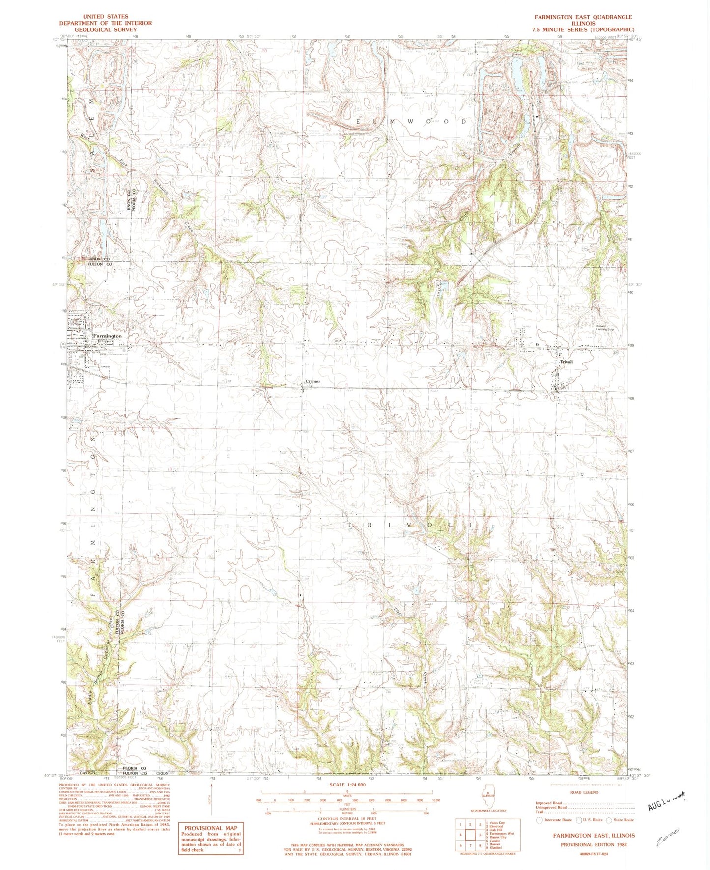
Classic USGS Farmington East Illinois 7.5'x7.5' Topo Map
Couldn't load pickup availability
Historical USGS topographic quad map of Farmington East in the state of Illinois. Map scale may vary for some years, but is generally around 1:24,000. Print size is approximately 24" x 27"
This quadrangle is in the following counties: Fulton, Knox, Peoria.
The map contains contour lines, roads, rivers, towns, and lakes. Printed on high-quality waterproof paper with UV fade-resistant inks, and shipped rolled.
Contains the following named places: Bickford School, Blue School, Brunswick Cemetery, Brunswick School, Center School, Concord Cemetery, Concord Church, Concord School, Cramer, Downs School, Farmington Central School, Farmington High School, Fresh Water Lake, Fresh Water Lake Dam, Glenview Farms Lake, Glenview Farms Lake Dam, Gordon Brown Airport, Graham Chapel, Grahams Lake, Grahams Lake Dam, Harkness Grove Cemetery, Harkness Grove School, Lake Bloomington, Lake Holiday, Lake Holiday Dam, Logan - Trivoli Fire Protection District Trivoli Station, Parker Cemetery, Pea Ridge School, Penn Ridge Cemetery, Penn Ridge Church, Slurry Lake Number 1, Slurry Lake Number 1 Dam, South Warner Pond, South Warner Pond Dam, Texas School, Township of Trivoli, Trivoli, Trivoli Cemetery, Trivoli Census Designated Place, Trivoli Post Office, Warner Pond Number 2, Warner Pond Number 2 Dam, Watkins Cemetery, White School, WZXT-FM (Farmington), ZIP Code: 61569