MyTopo
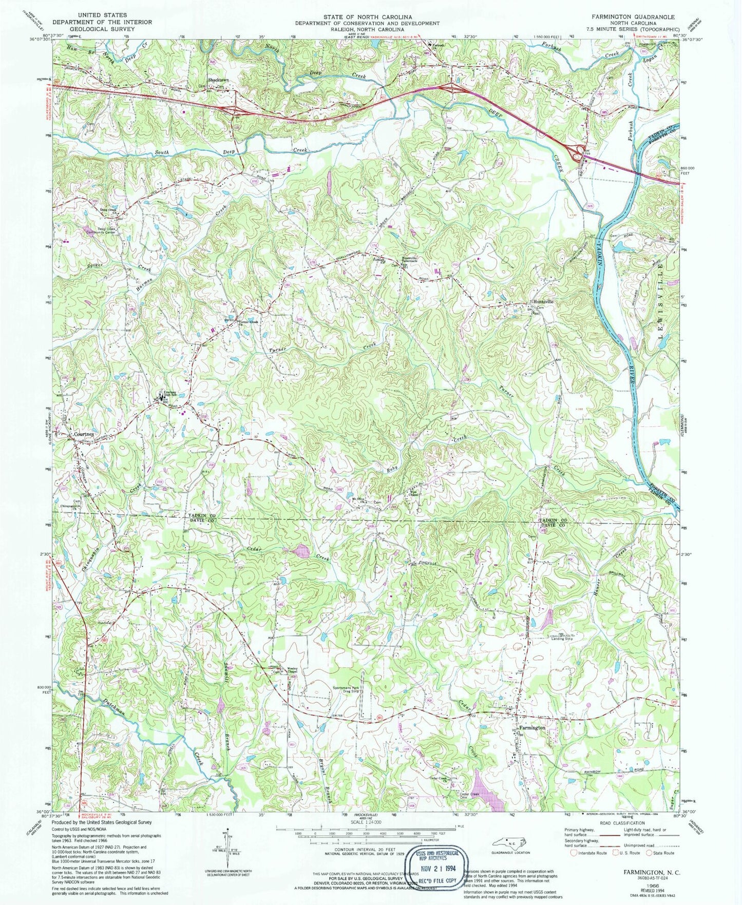
Classic USGS Farmington North Carolina 7.5'x7.5' Topo Map
Couldn't load pickup availability
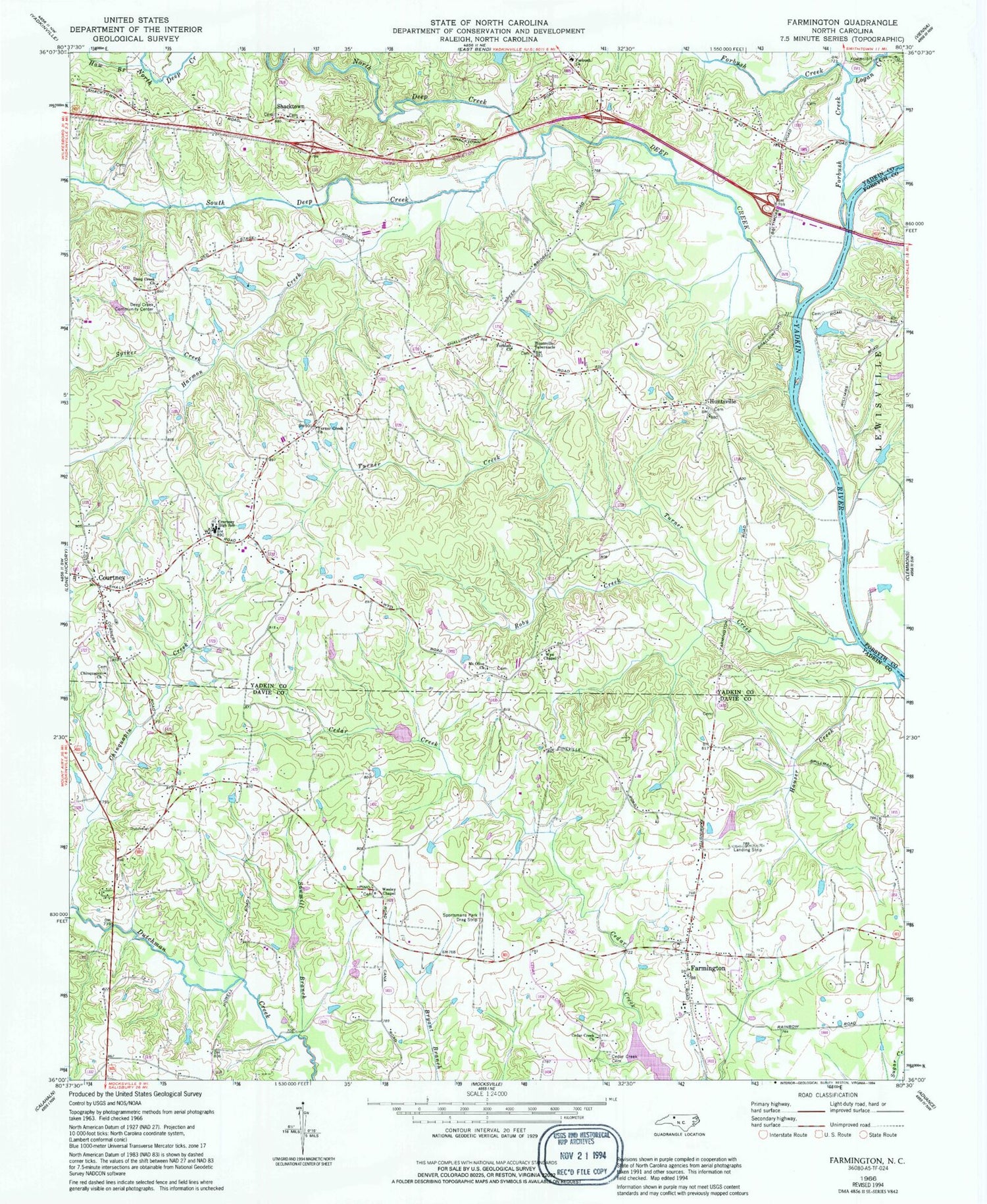
Historical USGS topographic quad map of Farmington in the state of North Carolina. Typical map scale is 1:24,000, but may vary for certain years, if available. Print size: 24" x 27"
This quadrangle is in the following counties: Davie, Forsyth, Yadkin.
The map contains contour lines, roads, rivers, towns, and lakes. Printed on high-quality waterproof paper with UV fade-resistant inks, and shipped rolled.
Contains the following named places: Cedar Creek Cemetery, Cedar Creek Baptist Church, Chinquapin Church, Chinquapin Creek, Courtney High School, Deep Creek Baptist Church, Deep Creek Community Center, Forbush Baptist Church, Forbush Baptist Church, Forbush Creek, Harmon Creek, Hauser Creek, Haw Branch, Huntsville, Tabernacle United Church of Christ, Logan Creek, Mount Olive Methodist Church, North Deep Creek, Roby Creek, Sawmill Branch, South Deep Creek, Spiker Creek, Sportsmans Park Drag Strip, Turner Creek, Turners Creek Baptist Church, Wesley Chapel Methodist Church, Wyo Chapel, Shallowford Airport (historical), Cedar Creek Lake, Danials-Davis Dam, Whip-O-Will Farms Number One Lake, Whip-O-Will Farms Number One Dam, Marshall Dam, Marshall Lake, Cedar Forest Estates, Shacktown, Nestor Post Office, Four Corners, Pino Post Office, Farmington Baptist, Farmington Community Cemetery, Green Meadows Baptist, Farmington Methodist, Courtney, Deep Creek, Farmington, Liberty Township (historical), Chinquapin Cemetery, Courtney Cemetery, Deep Creek Cemetery, Forbush Baptist Church Cemetery, Huntsville Cemetery, Mount Olive Cemetery, Shacktown Cemetery, Tabernacle Cemetery, Turners Creek Cemetery, Courtney Baptist Church, Dixon Mine, Gross Mine, Hartman Store (historical), Huntsville Baptist Church, Shacktown Church of Christ, Shallow Ford, Wyo, Cedar Creek School (historical), Pino, Caudle Branch, Township of South Liberty, Farmington Volunteer Fire Station 23, Forbush Volunteer Fire Department, Courtney Volunteer Fire Department, Farmington Census Designated Place


