MyTopo
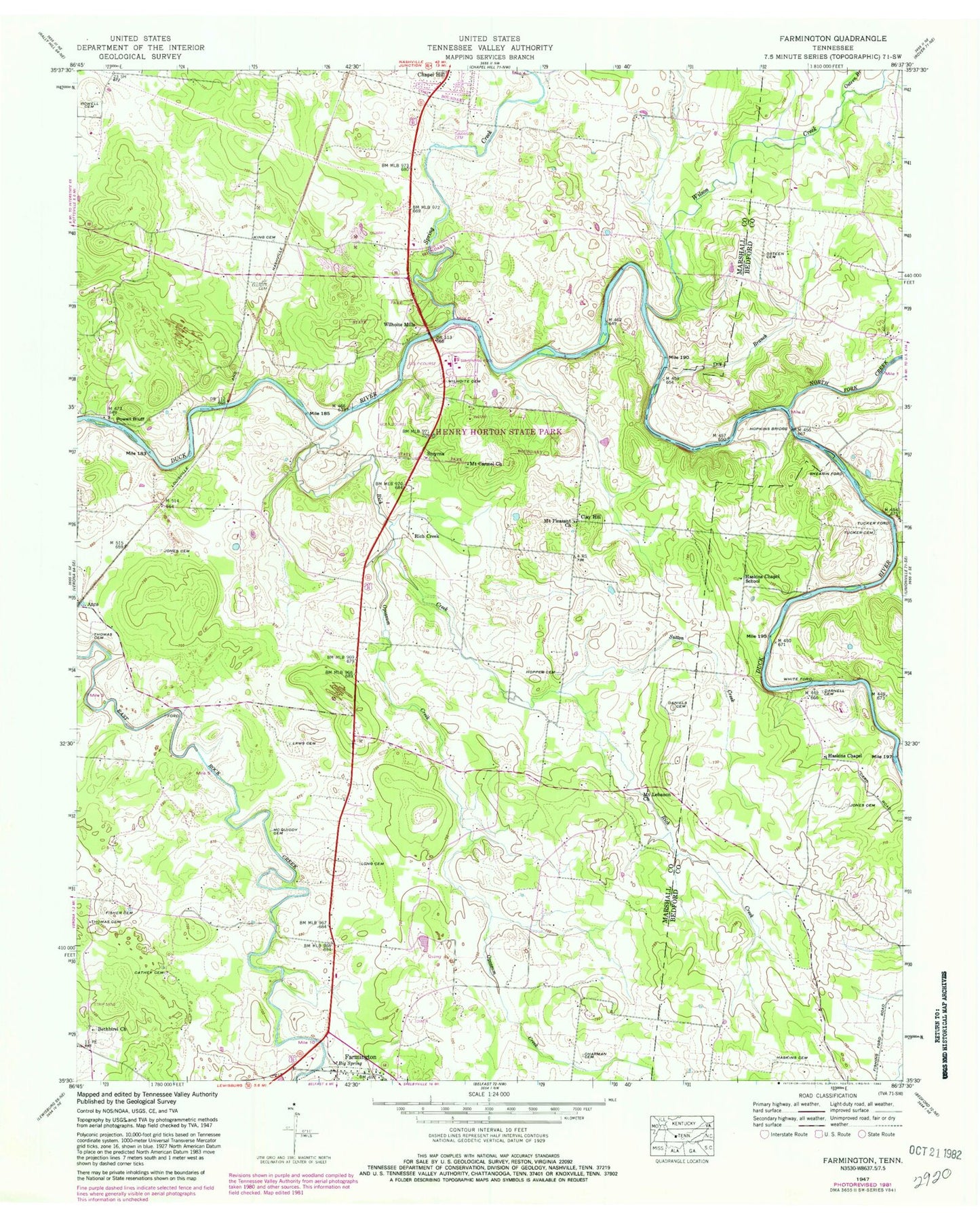
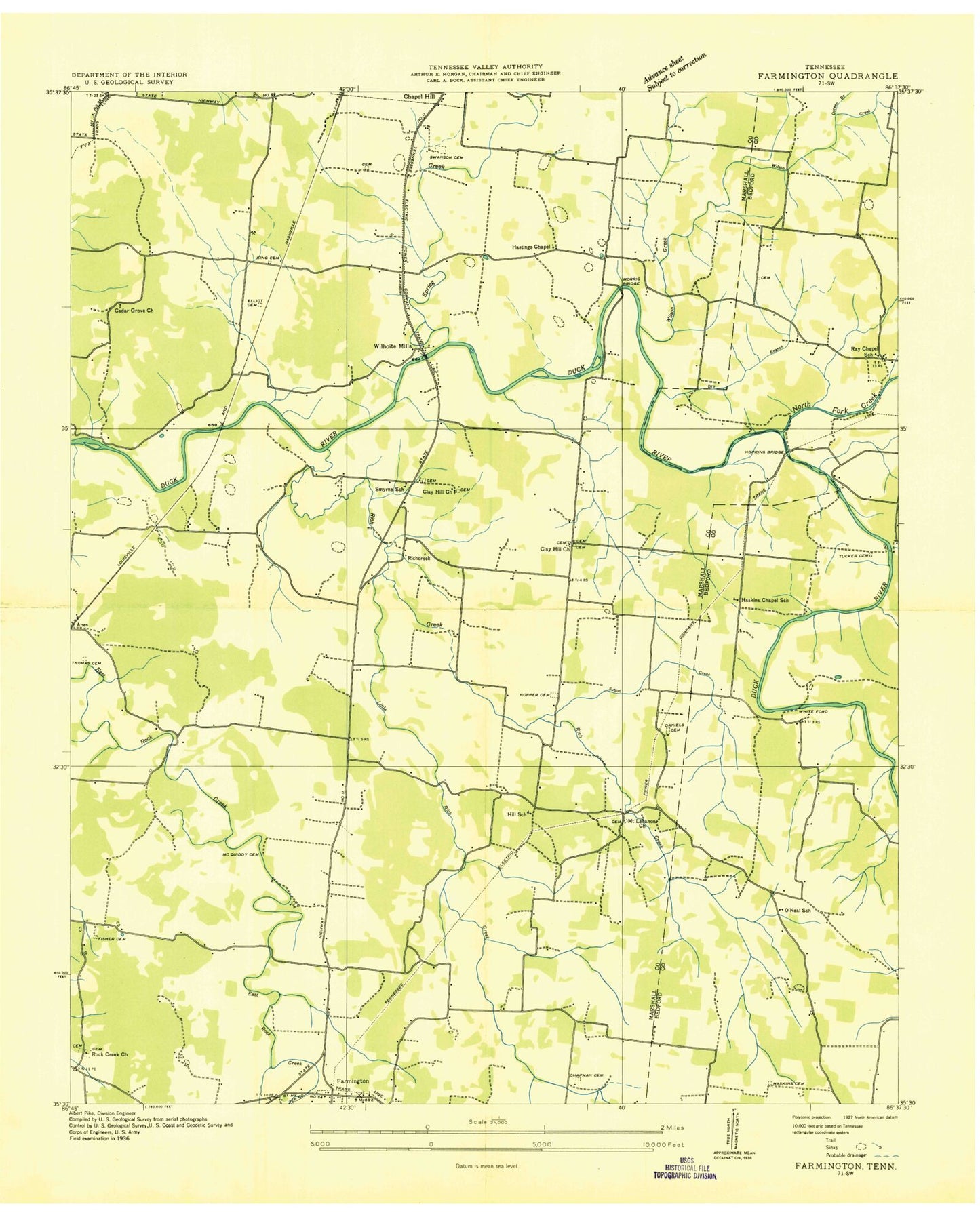
Classic USGS Farmington Tennessee 7.5'x7.5' Topo Map
Couldn't load pickup availability
Historical USGS topographic quad map of Farmington in the state of Tennessee. Map scale may vary for some years, but is generally around 1:24,000. Print size is approximately 24" x 27"
This quadrangle is in the following counties: Bedford, Marshall.
The map contains contour lines, roads, rivers, towns, and lakes. Printed on high-quality waterproof paper with UV fade-resistant inks, and shipped rolled.
Contains the following named places: Bethbirei Church, Bethbirei Presbyterian Church Cemetery, Big Spring, Cathey Cemetery, Cedar Grove Church, Chapman Cemetery, Clay Hill, Clay Hill Cemetery, Clay Hill United Methodist Church Cemetery, Commissioner District 2, Daniels Cemetery, Darnell Cemetery, Dry Branch, Elliott Cemetery, Farmington, Farmington - Rich Creek Volunteer Fire Department, Fisher Cemetery, Glasscock Cemetery, Haskins Cemetery, Haskins Chapel, Haskins Chapel School, Hastings Chapel, Henry Horton State Park, Hill Cemetery, Hill School, Hopkins Bridge, Hopper Cemetery, Jones Cemetery, King Cemetery, Laws Hill, Law's Hill Cemetery, Long Cemetery, McQuiddy Cemetery, Morris Bridge, Mount Carmel Church, Mount Lebanon Cemetery, Mount Lebanon Church, Mount Pleasant Church, North Fork Creek, O'Neal School, Opossum Creek, Osteen Branch, Osteen Cemetery, Powell Bluff, Powell Cemetery, Ray Cemetery, Ray Chapel School, Rays Chapel United Methodist Church, Rich Creek, Rock Creek Division, Rocky Acres Airport, Shearin Cemetery, Shearin Ford, Smyrna, Smyrna Baptist Church, Smyrna Cemetery, Smyrna School, Spring Creek, Stallings Cemetery, Sutton Creek, Swanson Cemetery, Thomas Cemetery, Tucker Cemetery, Tucker Ford, Wheeler Cemetery, White Ford, Wilhoite Cemetery, Wilhoite Mills, Wilson Creek, Yoes Cemetery, Zion Baptist Church, Zion Cemetery


