
MyTopo
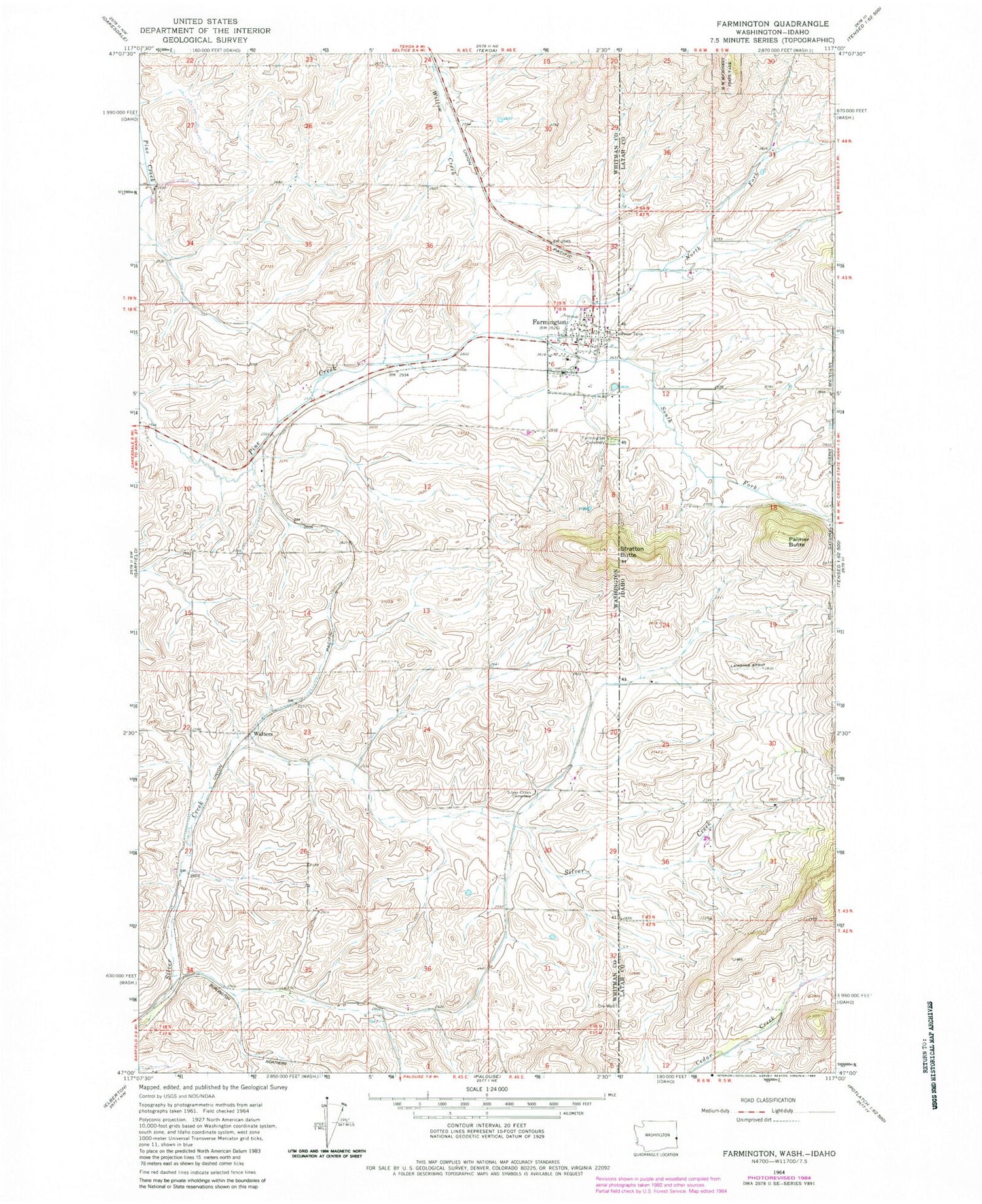
Classic USGS Farmington Washington 7.5'x7.5' Topo Map
Couldn't load pickup availability
Historical USGS topographic quad map of Farmington in the states of Washington, Idaho. Map scale may vary for some years, but is generally around 1:24,000. Print size is approximately 24" x 27"
This quadrangle is in the following counties: Latah, Whitman.
The map contains contour lines, roads, rivers, towns, and lakes. Printed on high-quality waterproof paper with UV fade-resistant inks, and shipped rolled.
Contains the following named places: Farmington, Farmington Cemetery, Farmington Christian School, Farmington Post Office, Hayfield, North Fork Pine Creek, Palmer Butte, Silver Creek Cemetery, South Fork Pine Creek, Stratton Butte, Town of Farmington, Walters, Whitman County Fire District 10, ZIP Code: 99128


