MyTopo
Classic USGS Farmland Indiana 7.5'x7.5' Topo Map
Couldn't load pickup availability
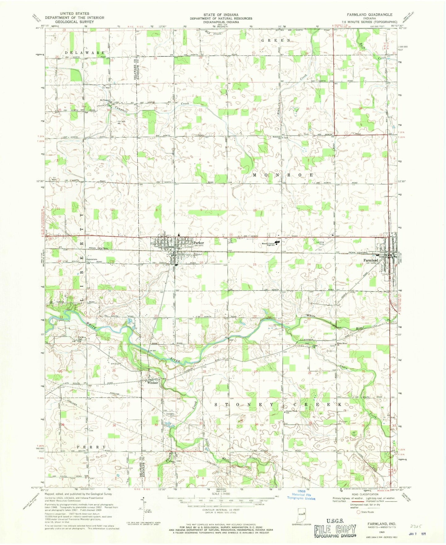
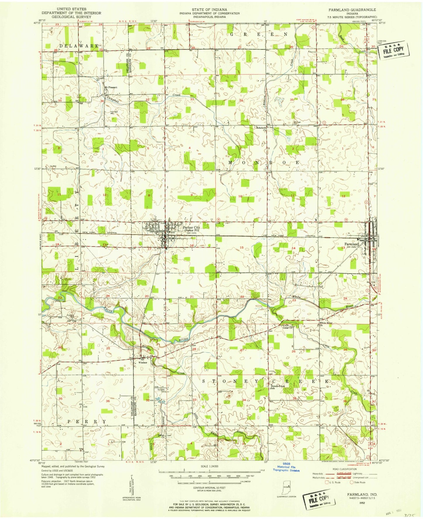
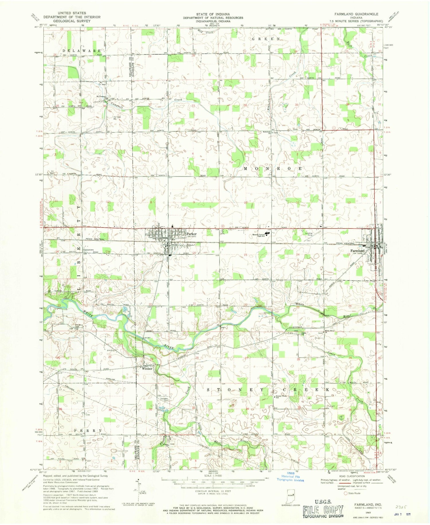
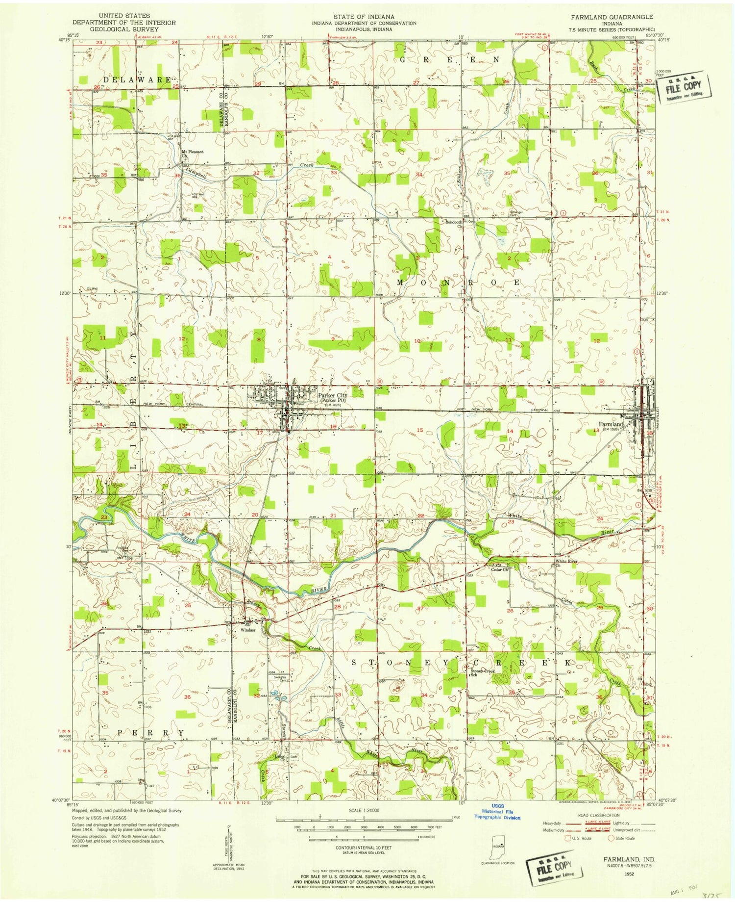
Historical USGS topographic quad map of Farmland in the state of Indiana. Map scale may vary for some years, but is generally around 1:24,000. Print size is approximately 24" x 27"
This quadrangle is in the following counties: Delaware, Randolph.
The map contains contour lines, roads, rivers, towns, and lakes. Printed on high-quality waterproof paper with UV fade-resistant inks, and shipped rolled.
Contains the following named places: Belknap-Icarus Acres Airport, Cabin Creek, Cedar Church, Farmland, Farmland Fire Department, Farmland Police Department, Farmland Post Office, Freidline Cemetery, Georgetown, Little White River, Monroe Central Junior-Senior High School, Mount Pleasant Church, Parker City, Parker City Emergency Medical Services, Parker City Police Department, Parker City Post Office, Parker Elementary School, Parker Volunteer Fire Department, Rehoboth Church, Stoney Creek, Stoney Creek School, Swingley Cemetery, Town of Farmland, Town of Parker City, Township of Monroe, Township of Stoney Creek, Union Church, White River Church, Windsor, ZIP Codes: 47340, 47368