MyTopo
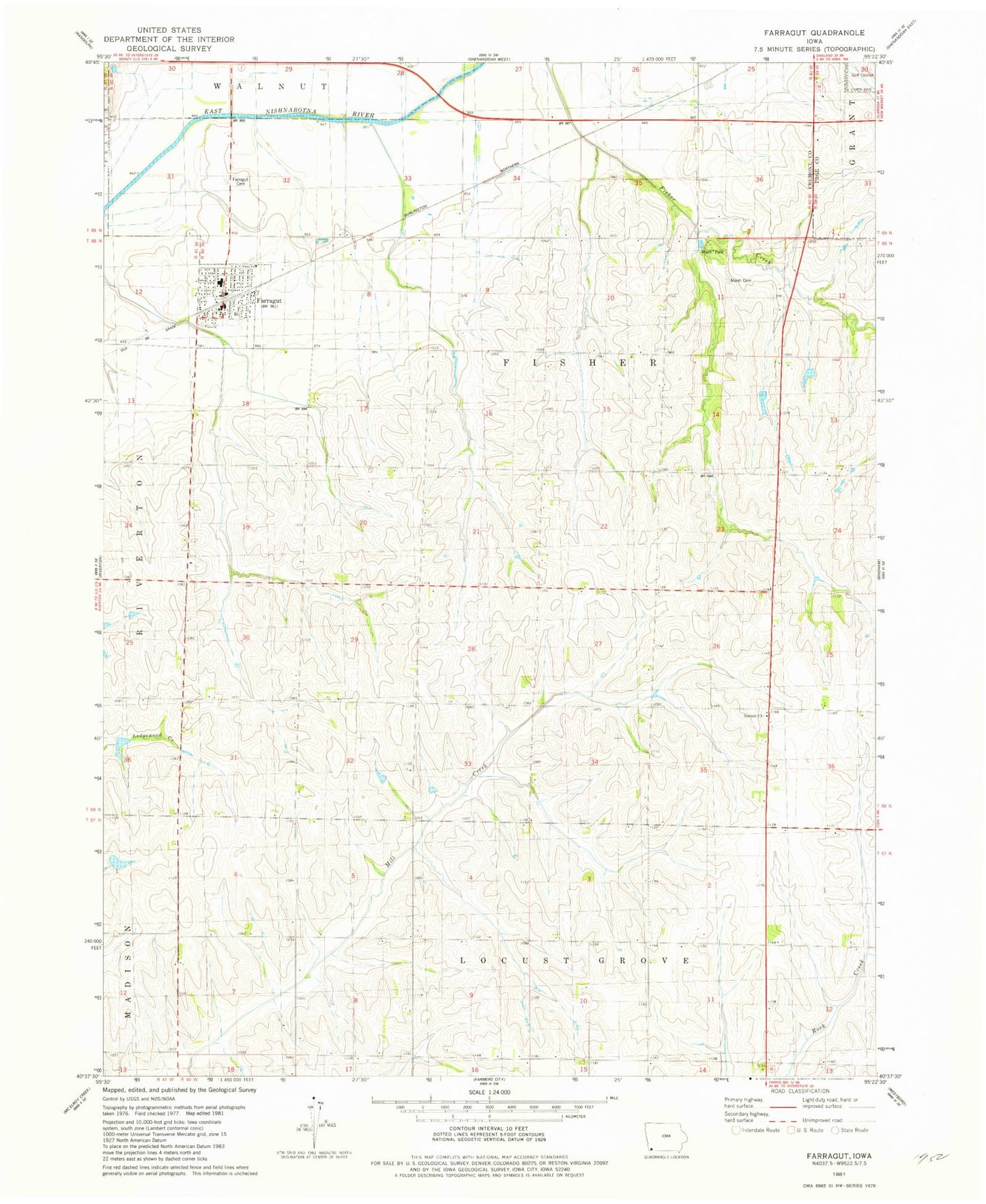
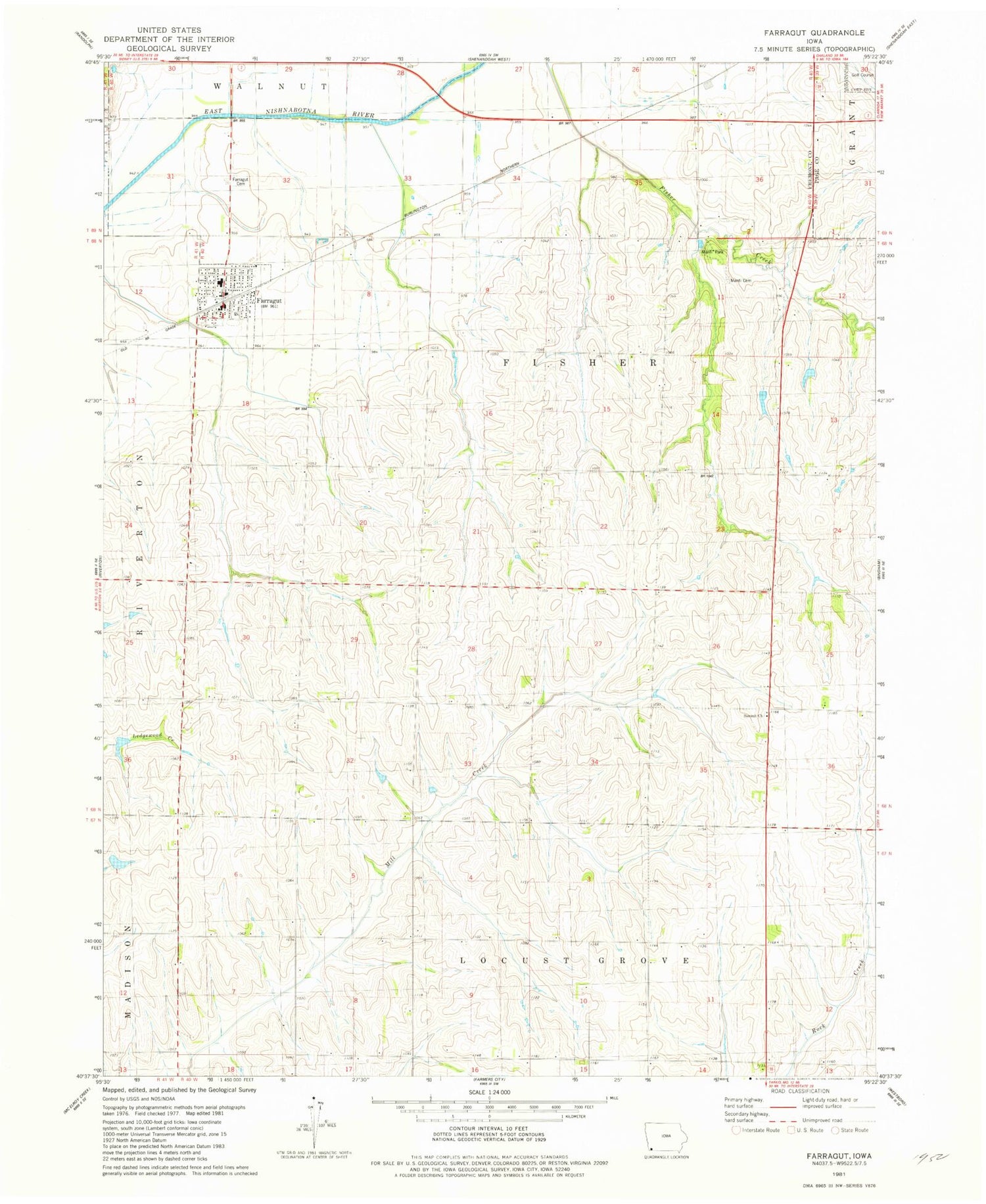
Classic USGS Farragut Iowa 7.5'x7.5' Topo Map
Couldn't load pickup availability
Historical USGS topographic quad map of Farragut in the state of Iowa. Map scale may vary for some years, but is generally around 1:24,000. Print size is approximately 24" x 27"
This quadrangle is in the following counties: Fremont, Page.
The map contains contour lines, roads, rivers, towns, and lakes. Printed on high-quality waterproof paper with UV fade-resistant inks, and shipped rolled.
Contains the following named places: American Legion Country Club, City of Farragut, Congregational United Church, Crestland Co-op Elevator, Farragut, Farragut Cemetery, Farragut City Hall, Farragut Elementary School, Farragut Fire and Rescue, Farragut Post Office, Manti, Manti Cemetery, Manti Cemetery - Off the Mormon Trail Historical Marker, Manti Memorial Park, Manti Post Office, Nishnabotna High School, Summit Church, Township of Fisher, United Methodist Church, ZIP Code: 51639