
MyTopo
Classic USGS Farrar Mountain Maine 7.5'x7.5' Topo Map
Regular price
$16.95
Regular price
Sale price
$16.95
Unit price
per
Couldn't load pickup availability
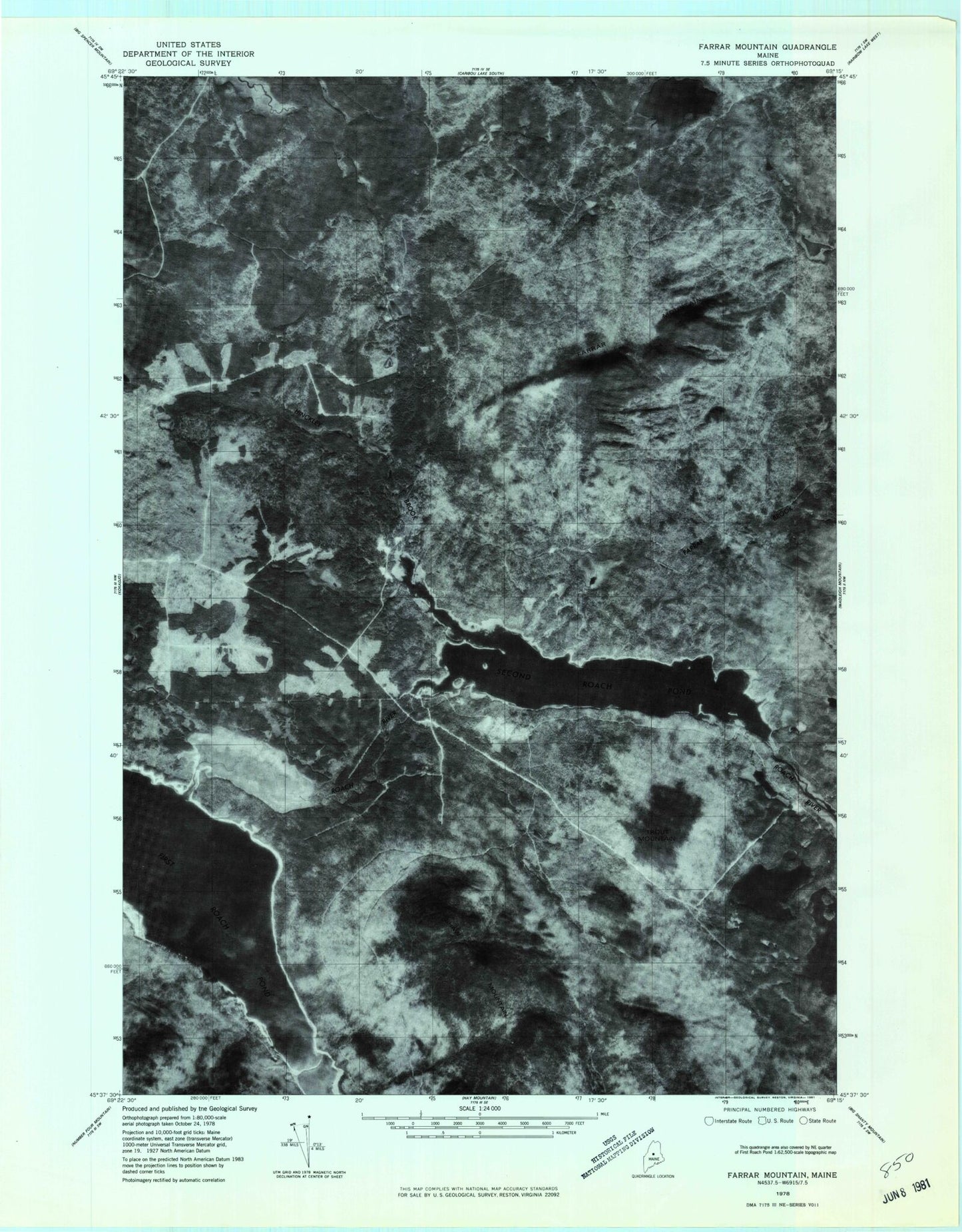
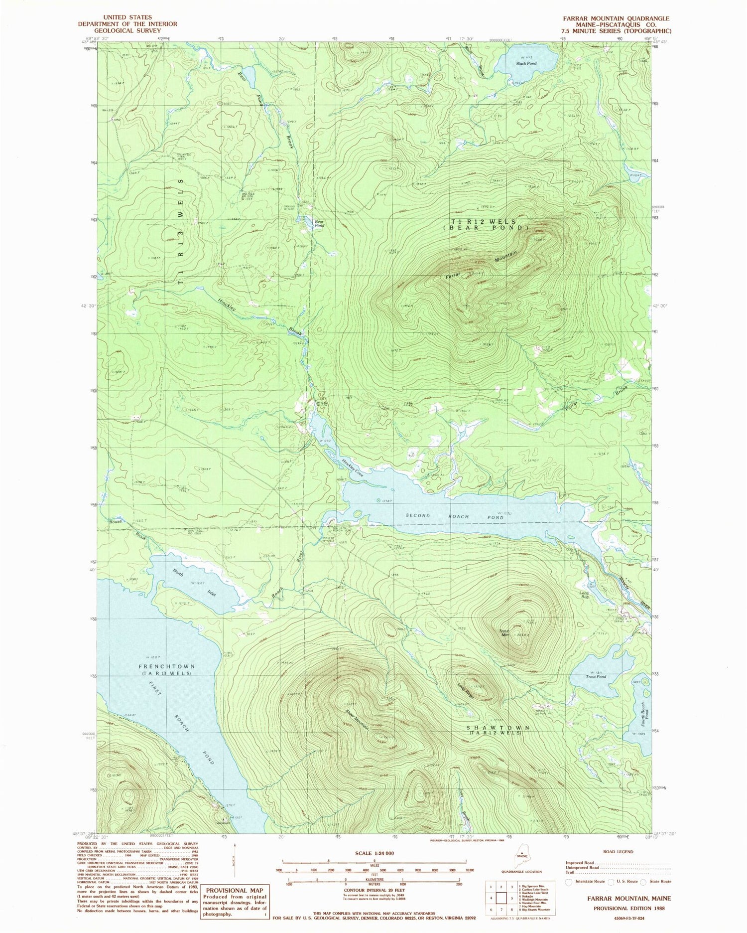
Historical USGS topographic quad map of Farrar Mountain in the state of Maine. Typical map scale is 1:24,000, but may vary for certain years, if available. Print size: 24" x 27"
This quadrangle is in the following counties: Piscataquis.
The map contains contour lines, roads, rivers, towns, and lakes. Printed on high-quality waterproof paper with UV fade-resistant inks, and shipped rolled.
Contains the following named places: Bear Pond, Black Pond, Farrar Mountain, Hinckley Brook, Hinckley Cove, Long Bog, Long Ridge, North Inlet, Rowell Brook, Second Roach Pond, Shaw Mountain, Trout Mountain, Trout Pond, Second Roach Pond Dam, Medawisla, Shawtown Township, T1 R12 WELS