MyTopo
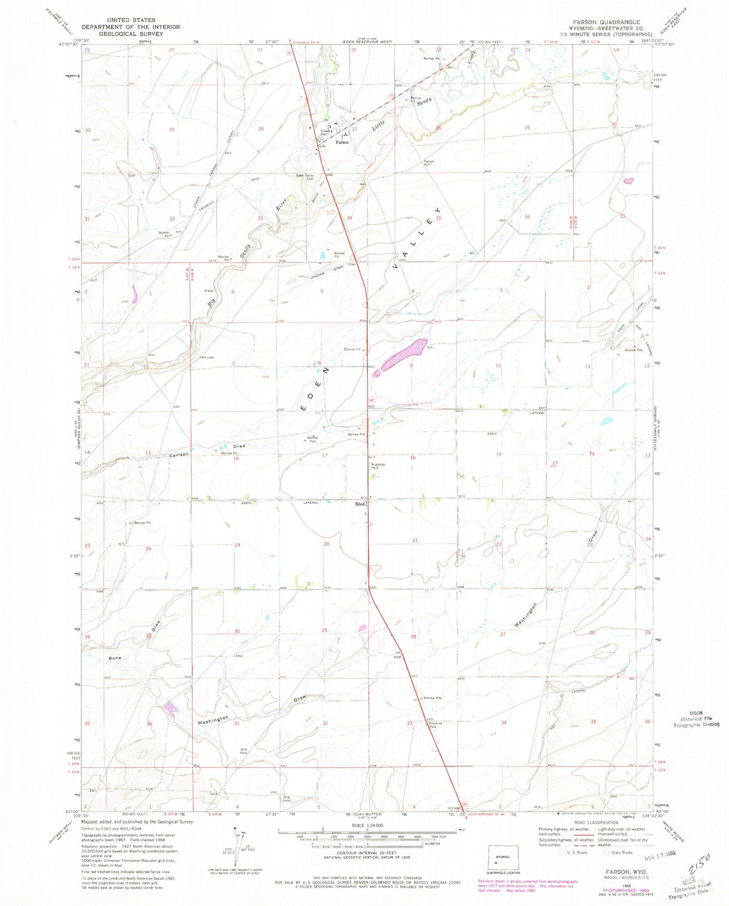
Classic USGS Farson Wyoming 7.5'x7.5' Topo Map
Couldn't load pickup availability
Historical USGS topographic quad map of Farson in the state of Wyoming. Map scale may vary for some years, but is generally around 1:24,000. Print size is approximately 24" x 27"
This quadrangle is in the following counties: Sweetwater.
The map contains contour lines, roads, rivers, towns, and lakes. Printed on high-quality waterproof paper with UV fade-resistant inks, and shipped rolled.
Contains the following named places: Charles Hatch Gravesite, Eden, Eden - Farson Fire Control District, Eden Census Designated Place, Eden Lateral, Eden Valley, Eden Valley Ambulance Service, Eden Valley Cemetery, Farson, Farson Post Office, Farson-Eden High School, Farson-Eden Middle School, Farson-Eden School, Little Sandy Creek, State Highway Department Mine, Washington Draw