MyTopo
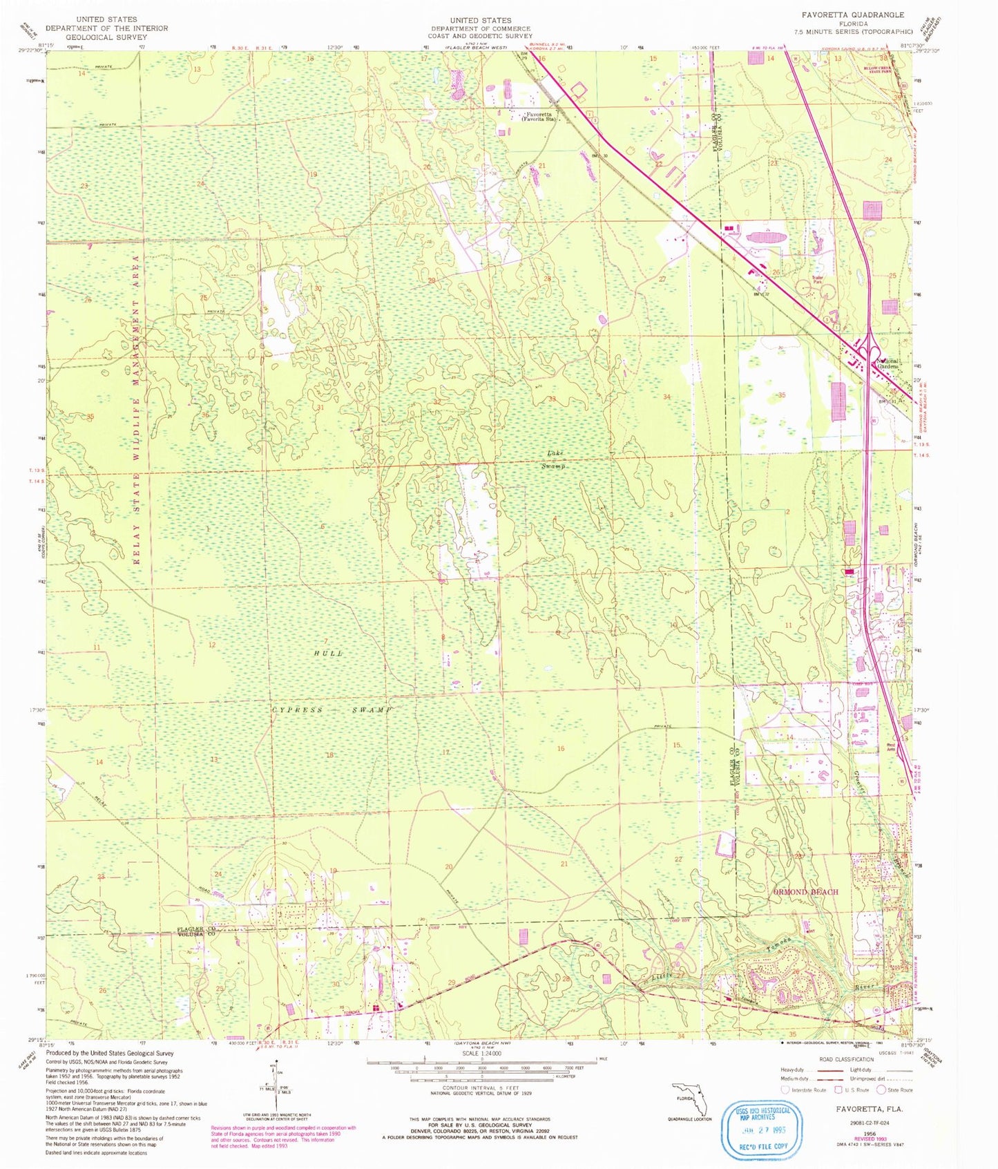
Classic USGS Favoretta Florida 7.5'x7.5' Topo Map
Couldn't load pickup availability
Historical USGS topographic quad map of Favoretta in the state of Florida. Map scale may vary for some years, but is generally around 1:24,000. Print size is approximately 24" x 27"
This quadrangle is in the following counties: Flagler, Volusia.
The map contains contour lines, roads, rivers, towns, and lakes. Printed on high-quality waterproof paper with UV fade-resistant inks, and shipped rolled.
Contains the following named places: Dan Rice Airport, Faith Lutheran Church, Favoretta, Holy Dormition Catholic Church, Hull Cypress Swamp, Lake Swamp, National Gardens, Ormond Beach Fire Department Station 94, Rima Ridge Baptist Church, Rima Ridge Volunteer Fire Department Station 81, Squillacote Airport, The 2A Ranch Airport, ZIP Code: 32174