MyTopo
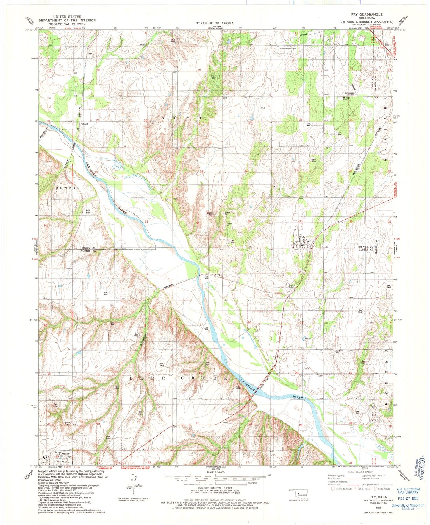
Classic USGS Fay Oklahoma 7.5'x7.5' Topo Map
Couldn't load pickup availability
Historical USGS topographic quad map of Fay in the state of Oklahoma. Map scale may vary for some years, but is generally around 1:24,000. Print size is approximately 24" x 27"
This quadrangle is in the following counties: Blaine, Custer, Dewey.
The map contains contour lines, roads, rivers, towns, and lakes. Printed on high-quality waterproof paper with UV fade-resistant inks, and shipped rolled.
Contains the following named places: Caldwell Dam, Caldwell Reservoir, Cody, Fay, Fay Census Designated Place, Fay Post Office, Liberty Cemetery, Mount Hope Cemetery, Nobscot, Rough Creek, Thomas - Fay - Custer Elementary School, Thomas - Fay - Custer High School, Thomas - Fay - Custer Junior High School, Township of Boyd