MyTopo
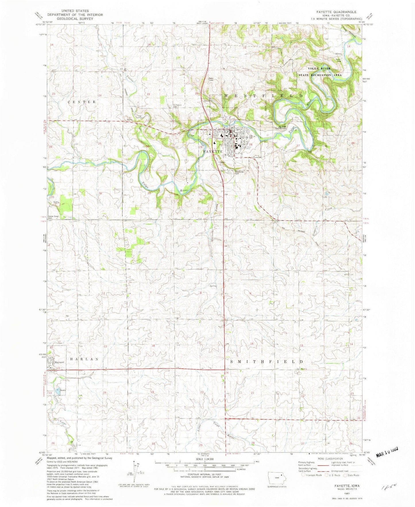
Classic USGS Fayette Iowa 7.5'x7.5' Topo Map
Couldn't load pickup availability
Historical USGS topographic quad map of Fayette in the state of Iowa. Map scale may vary for some years, but is generally around 1:24,000. Print size is approximately 24" x 27"
This quadrangle is in the following counties: Fayette.
The map contains contour lines, roads, rivers, towns, and lakes. Printed on high-quality waterproof paper with UV fade-resistant inks, and shipped rolled.
Contains the following named places: Abundant Life Christian Fellowship, Albany, Albany Trail, Alexander Creek, Alexander-Dickman Hall, Baker-Hebron Science Hall, Big Rock Country Club, City of Fayette, Colgrove-Walker Hall, Coulee Creek, Dorman Memorial Gymnasium, Edgar Fine Arts Hall, Eischeid Memorial Athletic Complex, Fayette, Fayette Ambulance Service, Fayette Chiropractic Clinic, Fayette Church, Fayette City Police Department, Fayette Community Library, Fayette County, Fayette Dental Clinic, Fayette Elementary School, Fayette Fire Department, Fayette Post Office, Fayette Town Hall, Frog Hollow, Frog Hollow Trail, Garbee Hall, Grace Lutheran Church, Grandview Cemetery, Gunderson Clinic - Fayette, Henderson-Wilder Library, Hofmaster Apartments, Klacks Island Park, Lake View Trail, Langeman's Ford, Lee Tower, Lima Trail, Maple Crest Manor Nursing Home, North Fayette Elementary School, Parker-Fox Hall, Ridge Trail, Roberton's Woods Athlitic Fields, Saint Francis Catholic Church, Saint Francis Cemetery, Site of First Cabin in Fayette County Historical Marker, The Church of Jesus Christ of Latter Day Saints, Township of Smithfield, Township of Westfield, United Methodist Church, Upper Iowa University, Volga River Campground, Volga River State Recreation Area, West Albany Post Office, ZIP Code: 52142


