
MyTopo
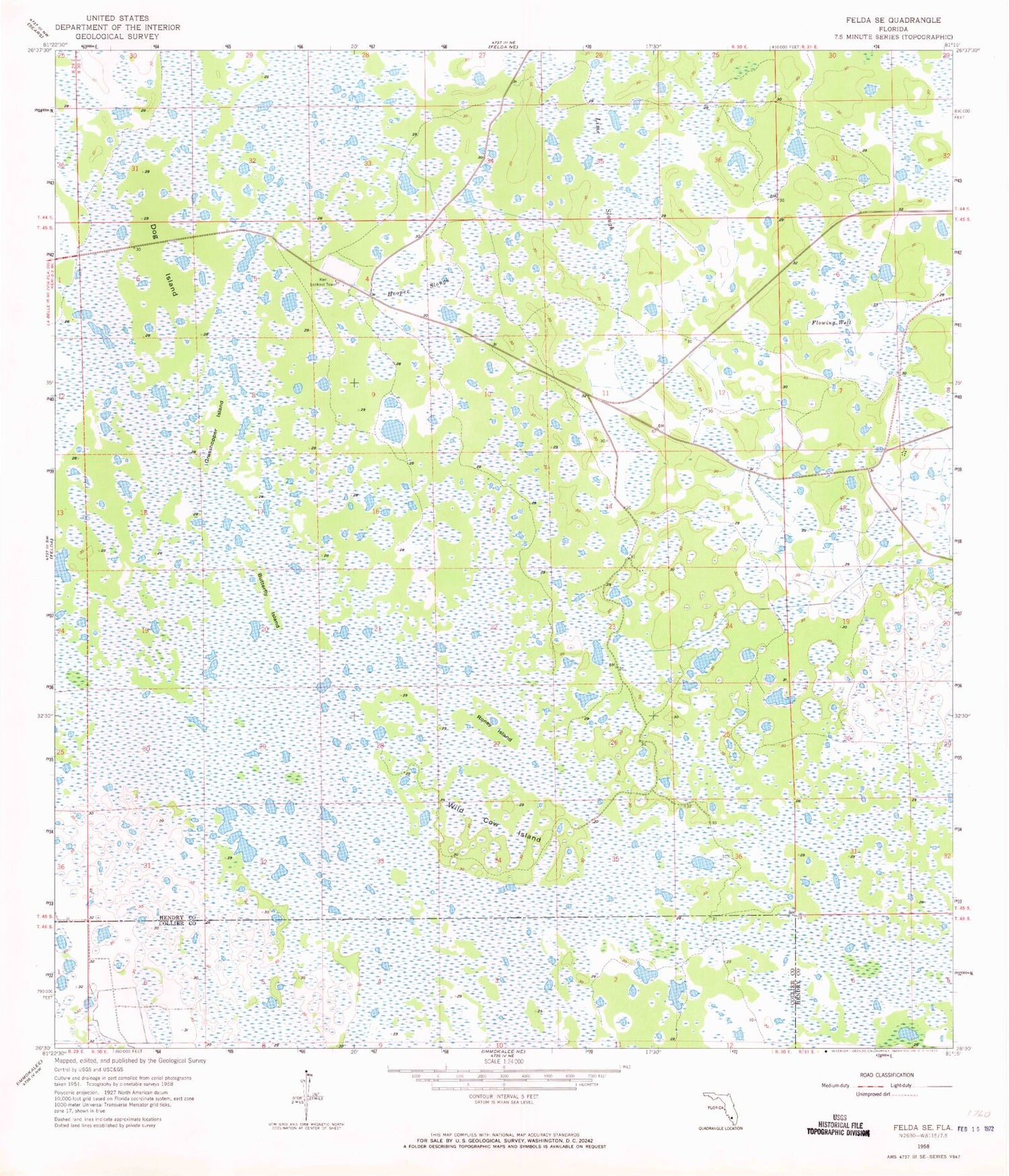
Classic USGS Felda SE Florida 7.5'x7.5' Topo Map
Regular price
$16.95
Regular price
Sale price
$16.95
Unit price
per
Couldn't load pickup availability
Historical USGS topographic quad map of Felda SE in the state of Florida. Map scale may vary for some years, but is generally around 1:24,000. Print size is approximately 24" x 27"
This quadrangle is in the following counties: Collier, Hendry.
The map contains contour lines, roads, rivers, towns, and lakes. Printed on high-quality waterproof paper with UV fade-resistant inks, and shipped rolled.
Contains the following named places: Butterfly Island, Dog Island, Grasshopper Island, Hooper Slough, Keri Lookout Tower, LaBelle Division, Lime Slough, Okaloacoochee Slough, Roney Island, Wild Cow Island


