MyTopo
Classic USGS Felda Florida 7.5'x7.5' Topo Map
Regular price
$16.95
Regular price
Sale price
$16.95
Unit price
per
Couldn't load pickup availability
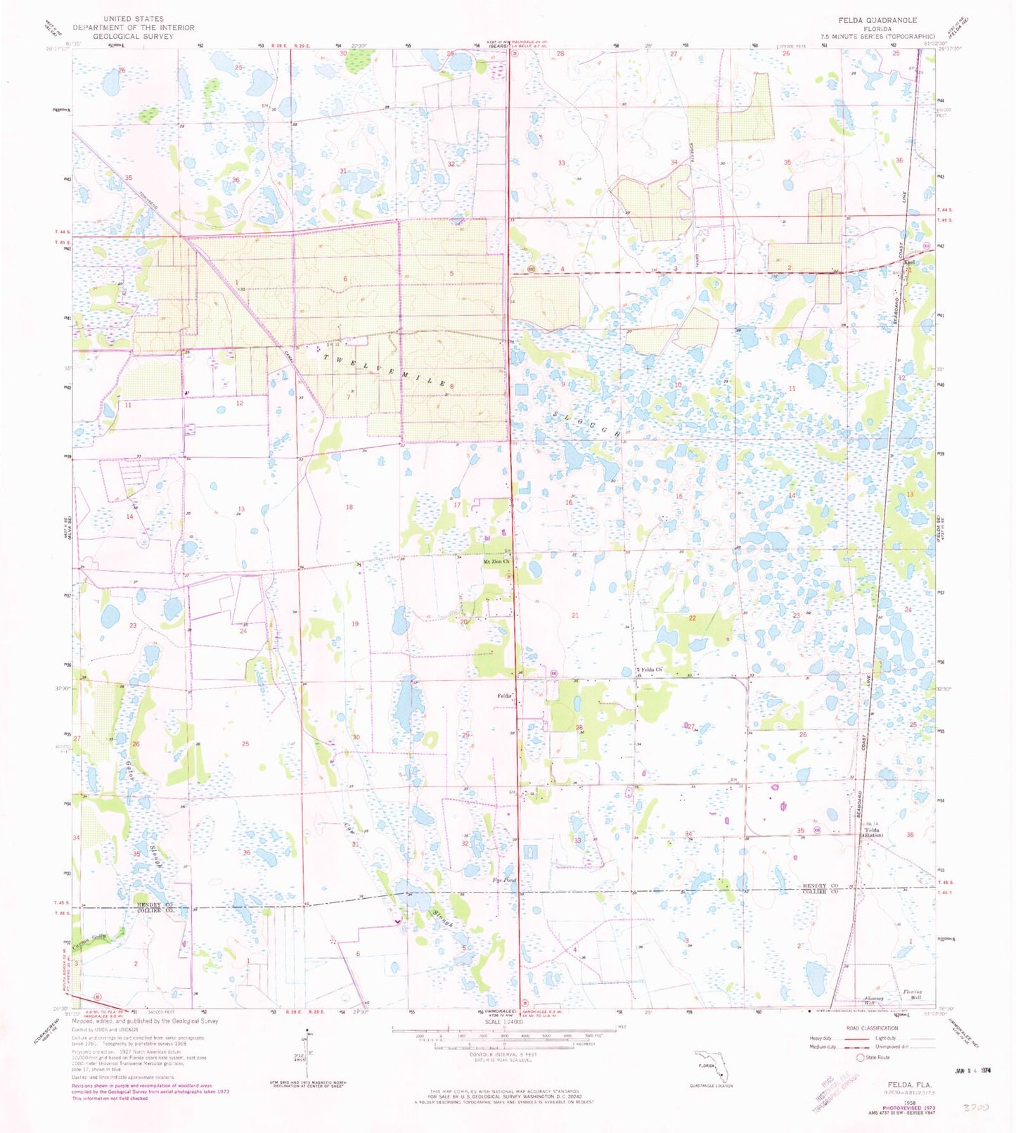
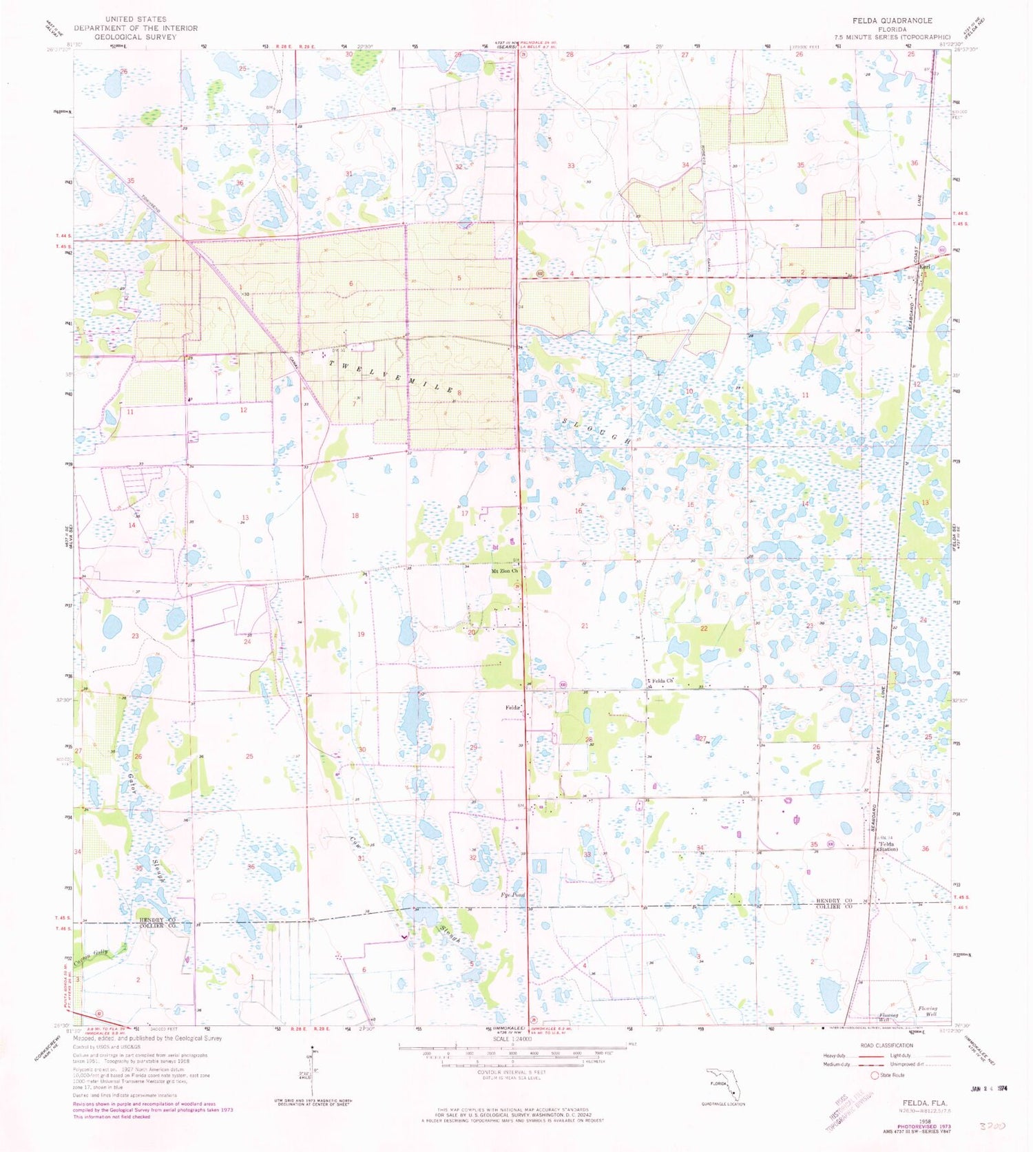
Historical USGS topographic quad map of Felda in the state of Florida. Map scale may vary for some years, but is generally around 1:24,000. Print size is approximately 24" x 27"
This quadrangle is in the following counties: Collier, Hendry.
The map contains contour lines, roads, rivers, towns, and lakes. Printed on high-quality waterproof paper with UV fade-resistant inks, and shipped rolled.
Contains the following named places: Alico-Felda Grove Airport, Charlton Strip, Cow Slough, Duda Airstrip, Felda, Felda Church, Felda Post Office, Felda Volunteer Fire Department, Fye Pond, Gator Slough, Keri, Mount Zion Church, Twelvemile Slough, ZIP Code: 33930