MyTopo
Classic USGS Ferber Peak Nevada 7.5'x7.5' Topo Map
Regular price
$16.95
Regular price
Sale price
$16.95
Unit price
per
Couldn't load pickup availability
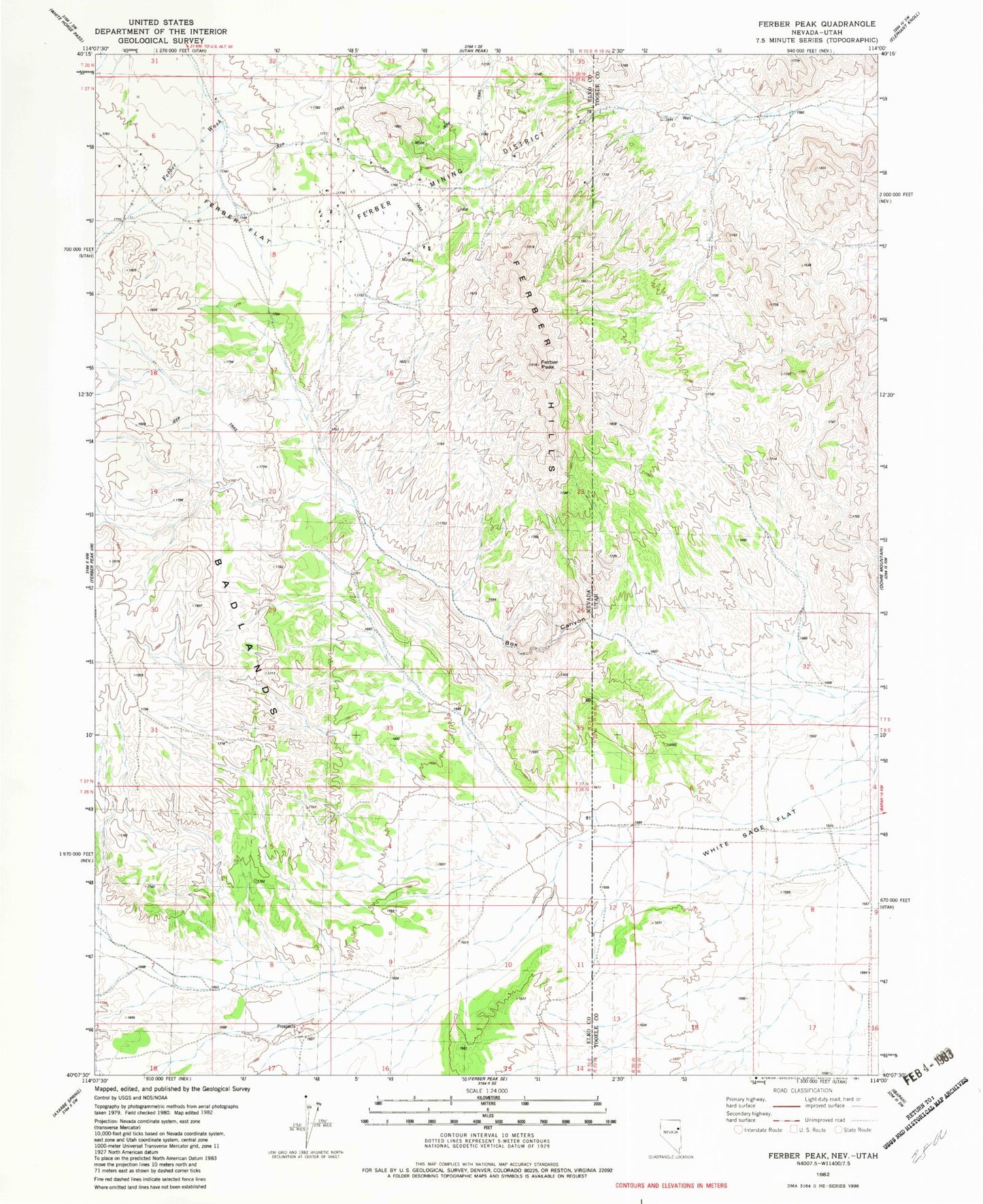
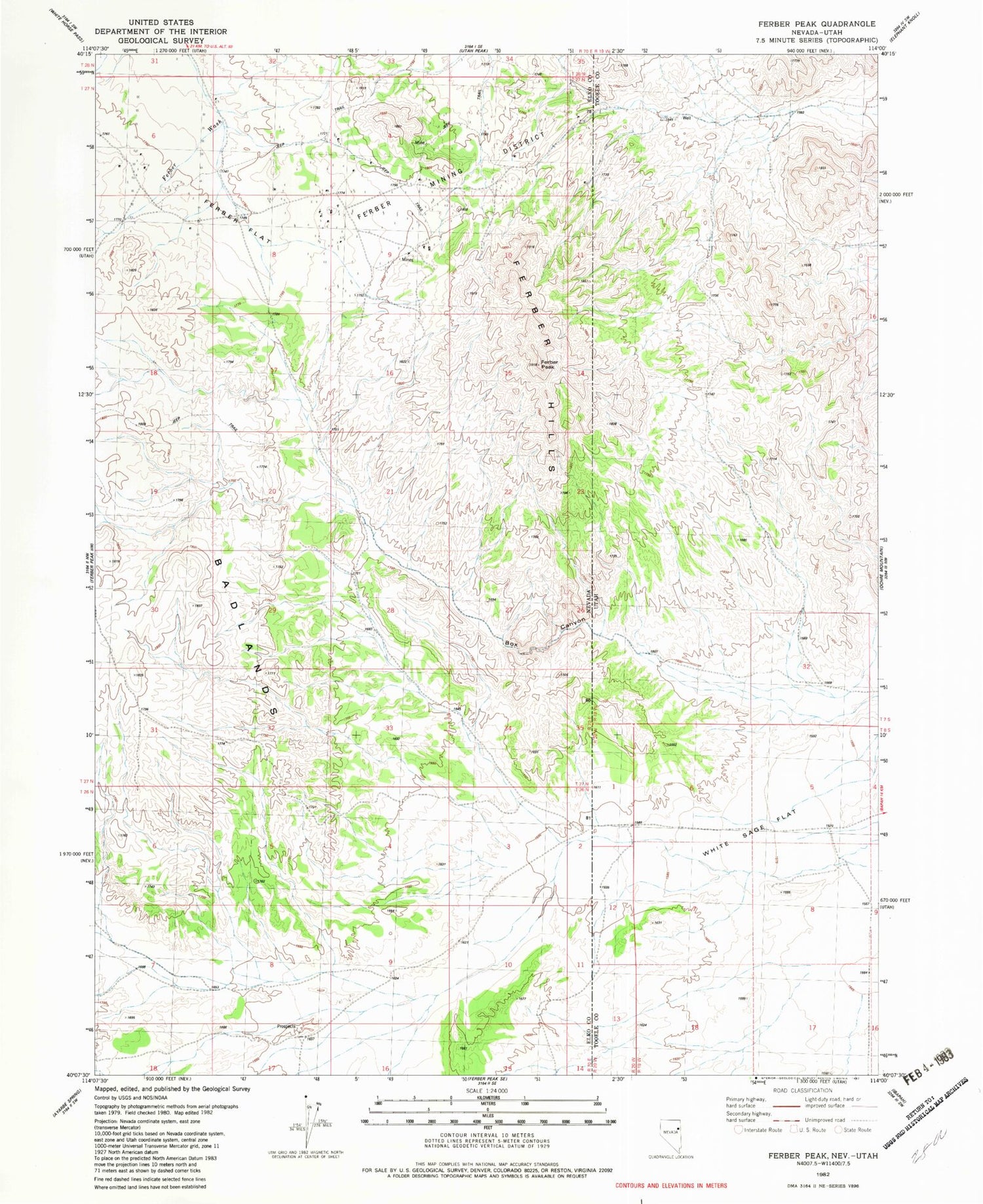
Historical USGS topographic quad map of Ferber Peak in the states of Nevada, Utah. Map scale may vary for some years, but is generally around 1:24,000. Print size is approximately 24" x 27"
This quadrangle is in the following counties: Elko, Tooele.
The map contains contour lines, roads, rivers, towns, and lakes. Printed on high-quality waterproof paper with UV fade-resistant inks, and shipped rolled.
Contains the following named places: Ajax Mine, Big Chief Mine, Box Canyon, Ferber Flat, Ferber Mining District, Ferber Peak, Furber, Knowlton Mine, Martha Washington Mine, Red Cloud Mine, Regent Mine, White Sage Flat