MyTopo
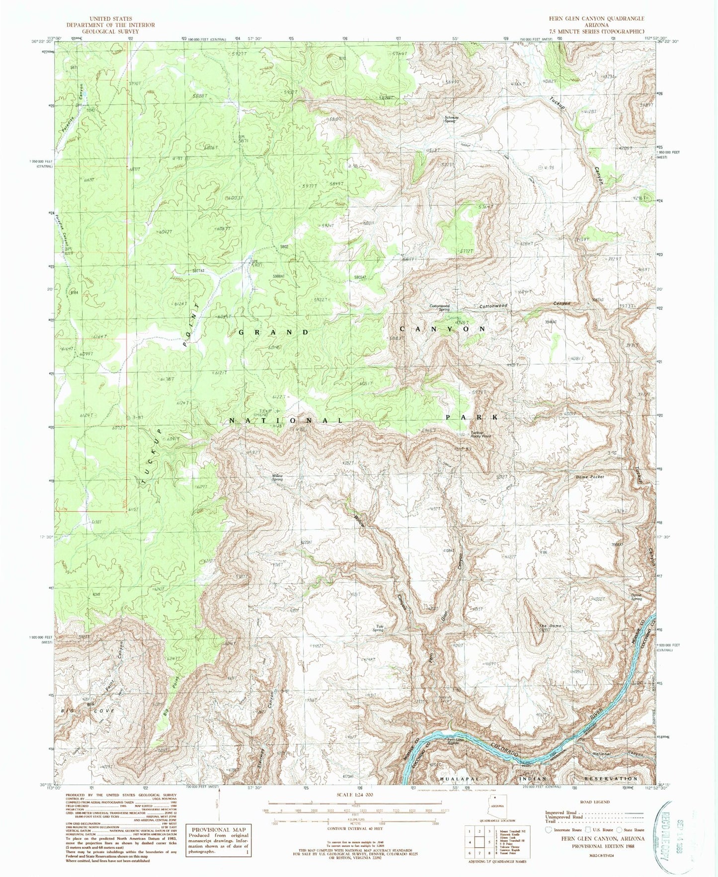
Classic USGS Fern Glen Canyon Arizona 7.5'x7.5' Topo Map
Couldn't load pickup availability
Historical USGS topographic quad map of Fern Glen Canyon in the state of Arizona. Typical map scale is 1:24,000, but may vary for certain years, if available. Print size: 24" x 27"
This quadrangle is in the following counties: Coconino, Mohave.
The map contains contour lines, roads, rivers, towns, and lakes. Printed on high-quality waterproof paper with UV fade-resistant inks, and shipped rolled.
Contains the following named places: Big Point, Cottonwood Canyon, Cottonwood Spring, Dome Pocket, Dome Spring, Dome Trail, Fern Glen Canyon, Fern Glen Rapids, Hundred and Sixtyfour Mile Rapids, National Canyon, Schmutz Spring, The Dome, Tuckup Rocky Point, Tuckup Trail, Tule Spring, Willow Canyon, Willow Spring, Alamo Window, Conglomerate Arch