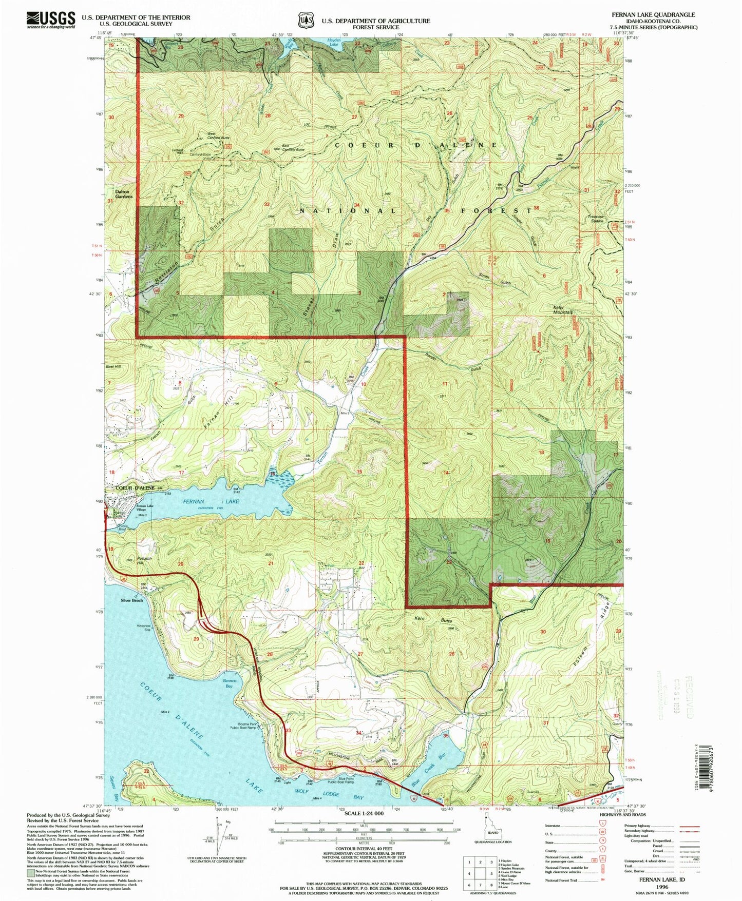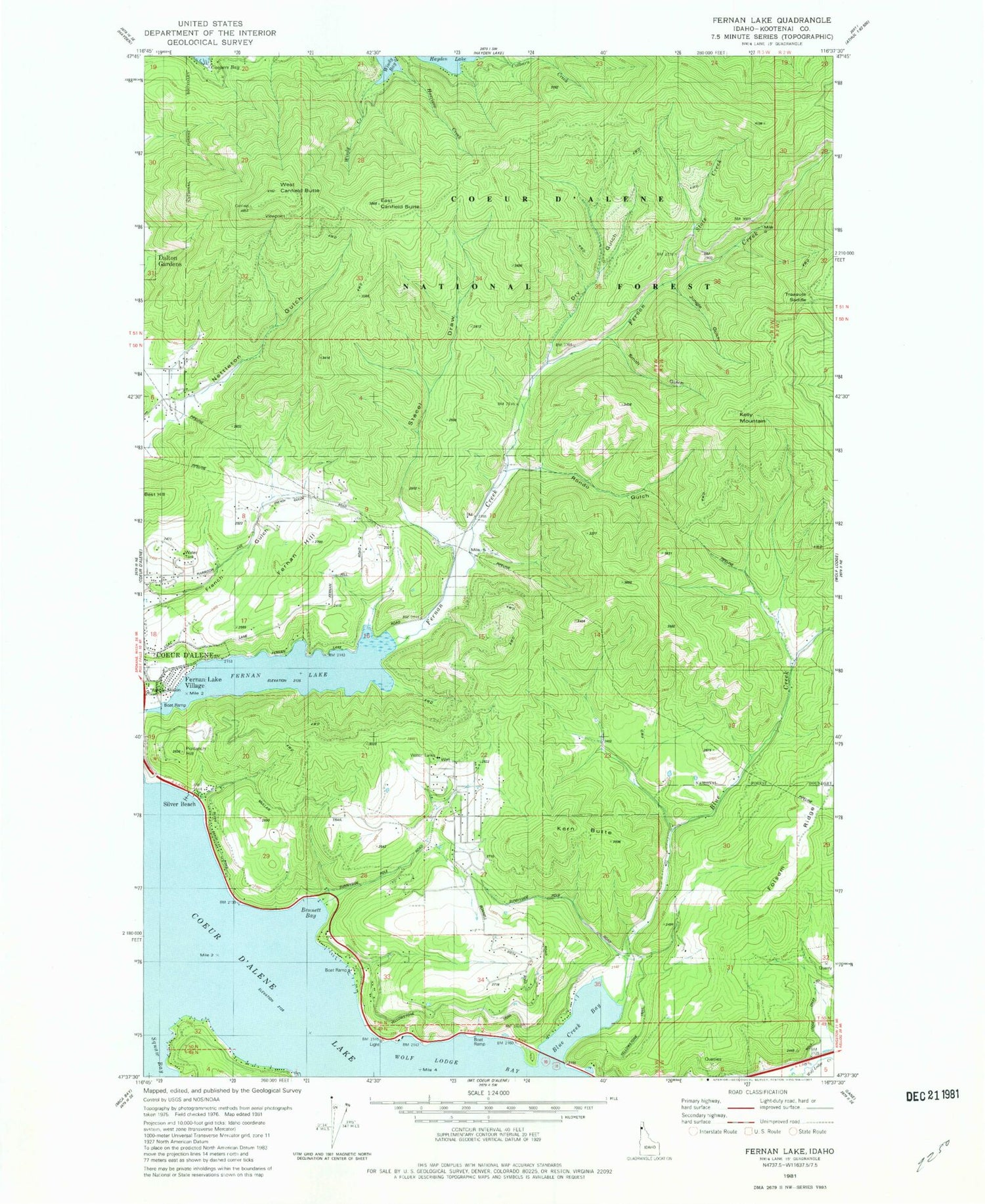
MyTopo
Classic USGS Fernan Lake Idaho 7.5'x7.5' Topo Map
Couldn't load pickup availability
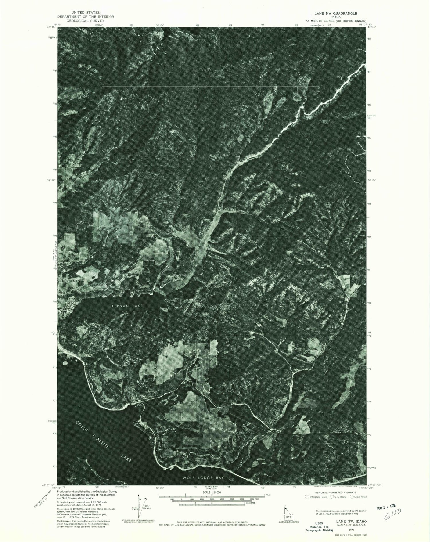
Historical USGS topographic quad map of Fernan Lake in the state of Idaho. Map scale may vary for some years, but is generally around 1:24,000. Print size is approximately 24" x 27"
This quadrangle is in the following counties: Kootenai.
The map contains contour lines, roads, rivers, towns, and lakes. Printed on high-quality waterproof paper with UV fade-resistant inks, and shipped rolled.
Contains the following named places: Bennett Bay, Best Hill, Blue Creek, Blue Creek Bay, Blue Point Public Boat Ramp, Boothe Park Public Boat Ramp, Canfield Butte Vista, Canfield Buttes, City of Fernan Lake Village, Colburn Creek, Dry Gulch, East Canfield Butte, Fernan Hill, Fernan Lake, Fernan Lake Village, Folsom Ridge, French Gulch, Harrison Creek, Jungle Gulch, Kelly Mountain, Kern Butte, KMWC-FM (Hayden), Kootenai County, Kootenai County Fire and Rescue Station 6, Potlatch Hill, Regan Ranch Airport, Rondo Gulch, Silver Beach, Smith Gulch, Stacel Draw, State Creek, Treasure Saddle, West Canfield Butte, Windy Bay, Windy Creek, ZIP Code: 83814