MyTopo
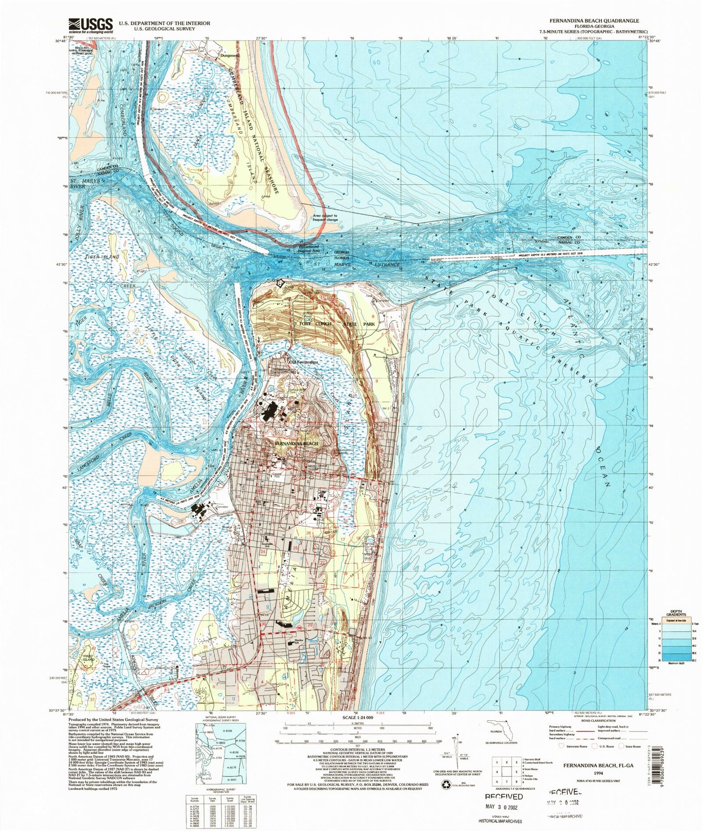
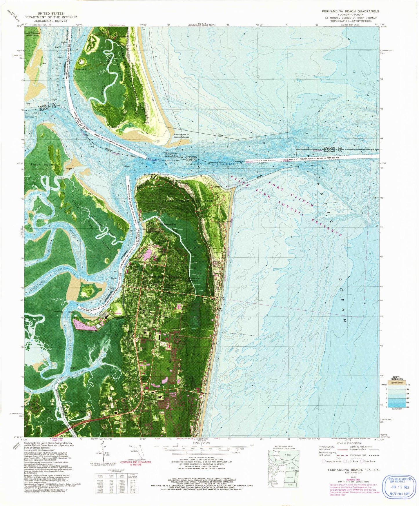
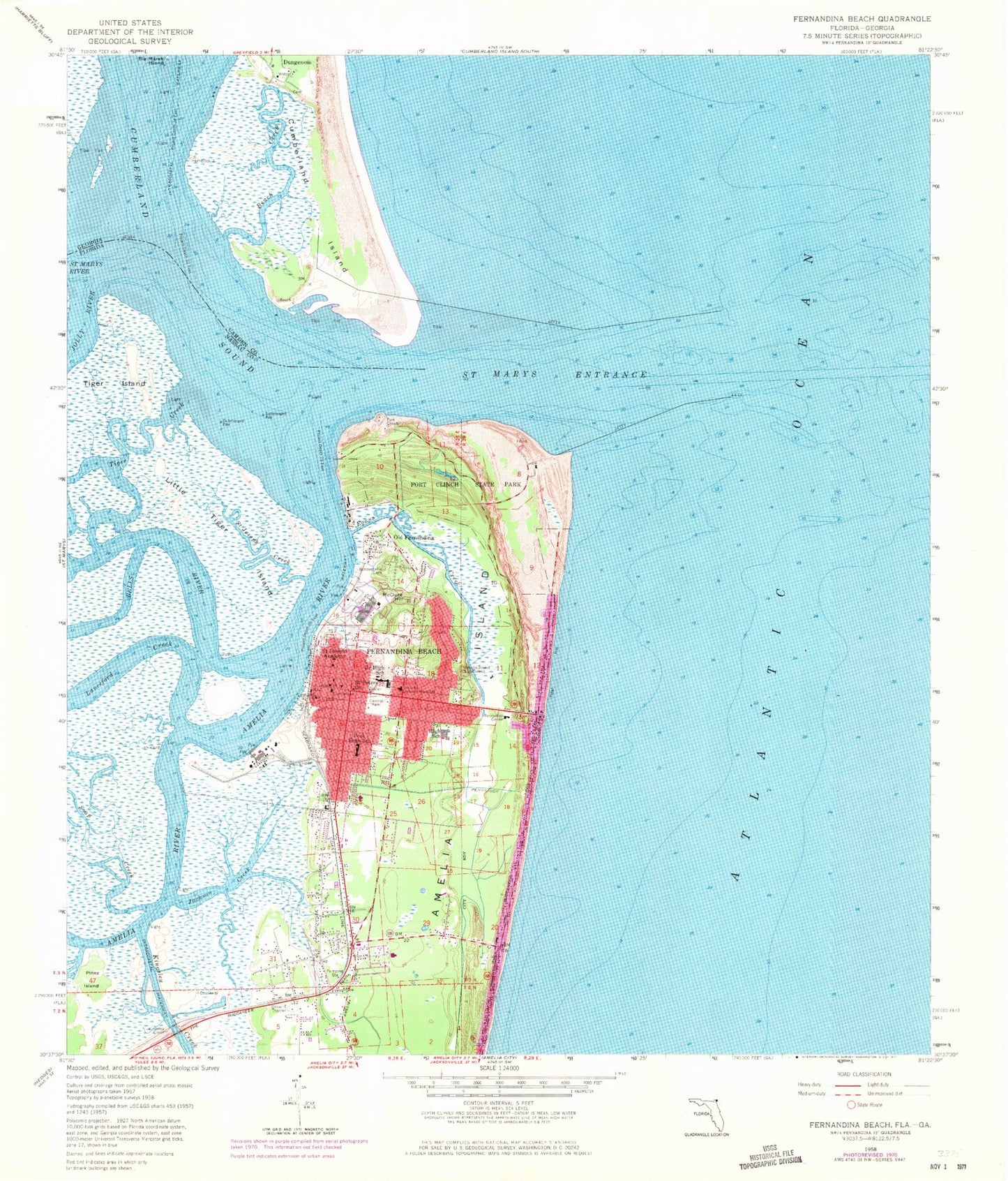
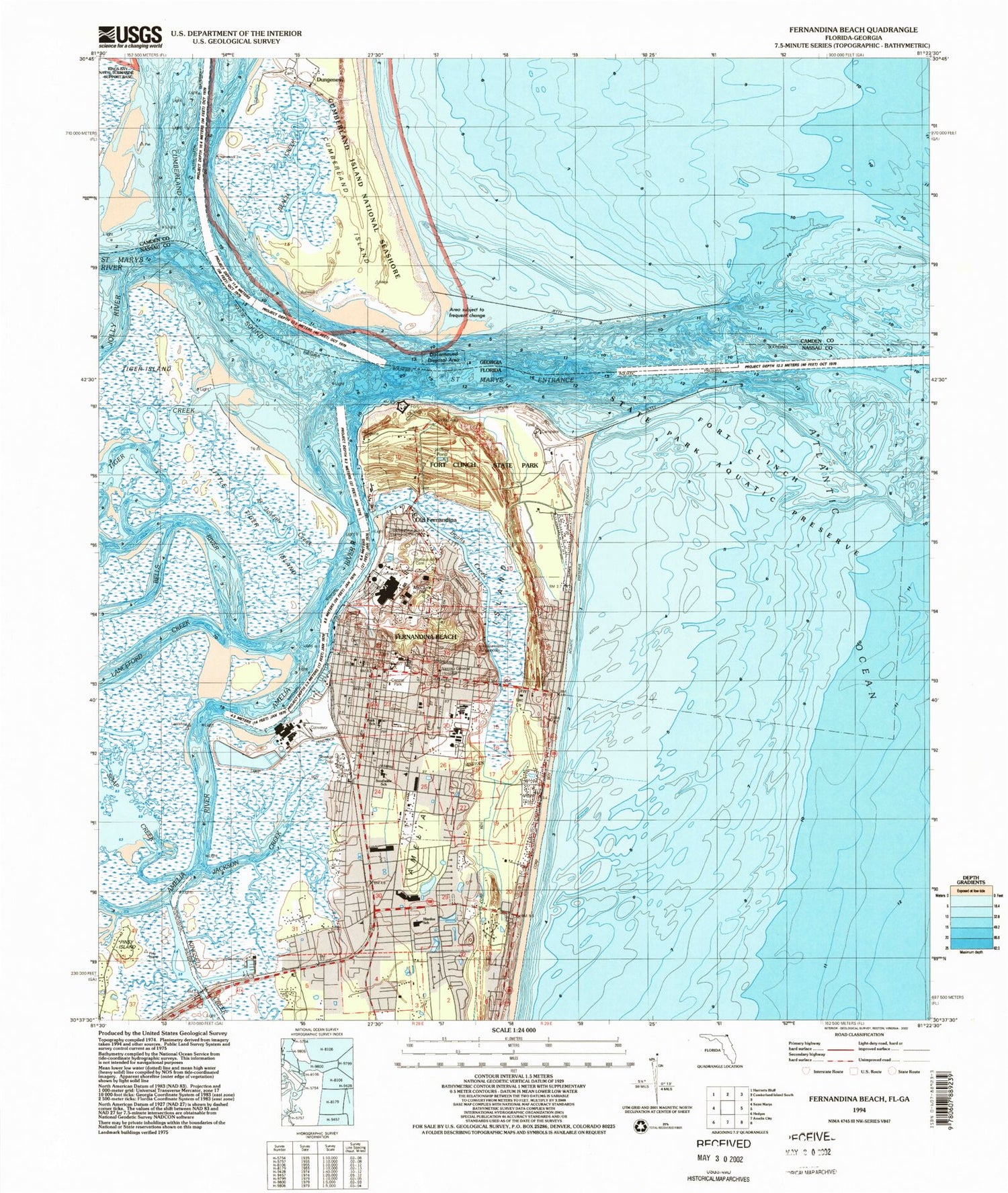
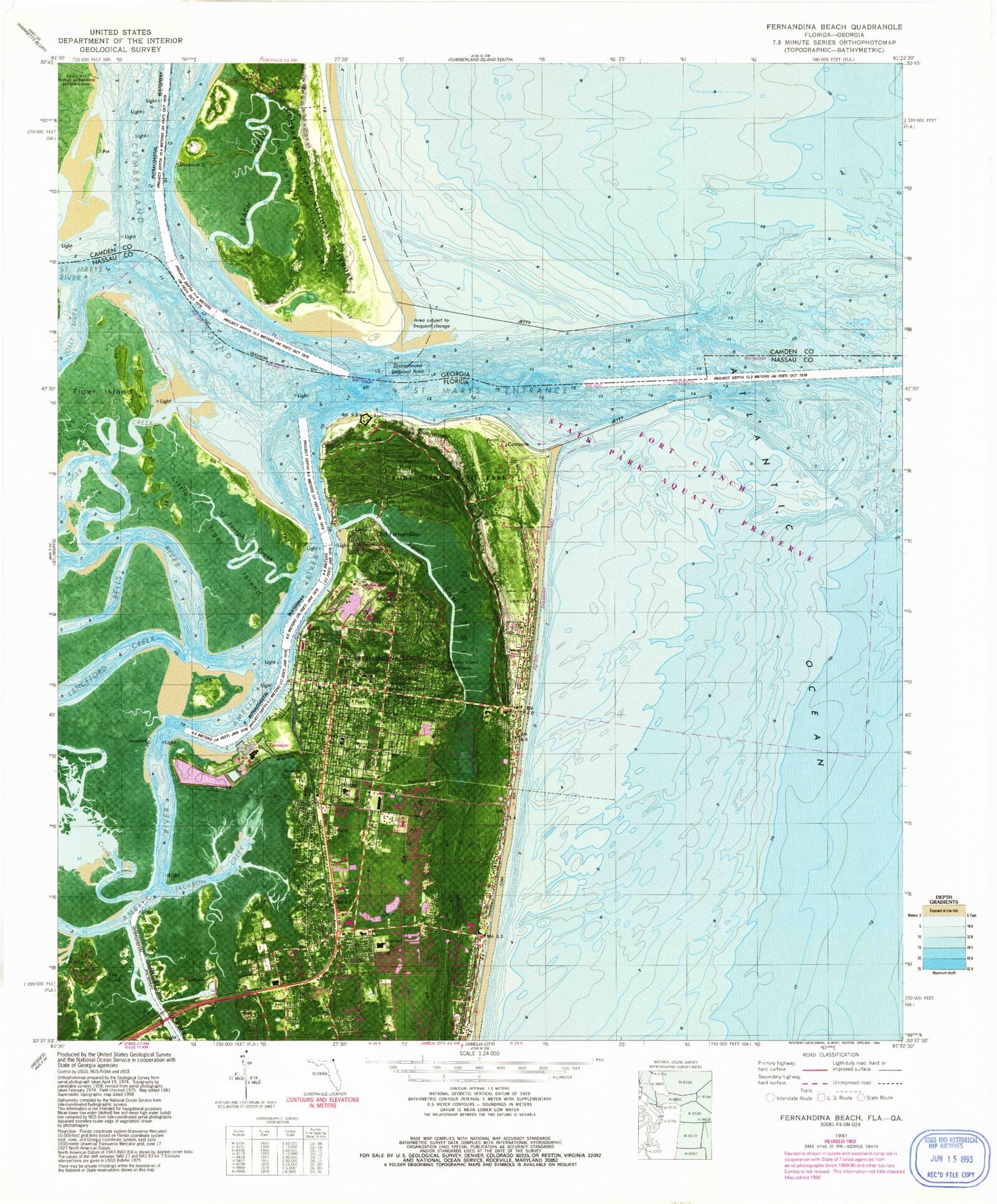
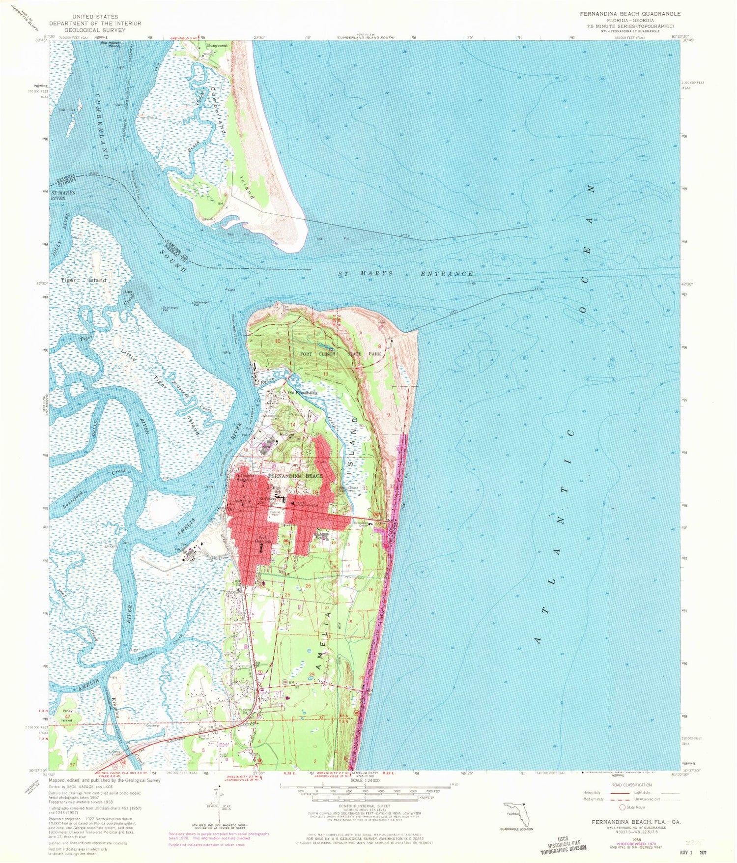
Classic USGS Fernandina Beach Florida 7.5'x7.5' Topo Map
Couldn't load pickup availability
Historical USGS topographic quad map of Fernandina Beach in the states of Florida, Georgia. Typical map scale is 1:24,000, but may vary for certain years, if available. Print size: 24" x 27"
This quadrangle is in the following counties: Camden, Nassau.
The map contains contour lines, roads, rivers, towns, and lakes. Printed on high-quality waterproof paper with UV fade-resistant inks, and shipped rolled.
Contains the following named places: Amelia River, Bells River, Central Park, Egans Creek, Jackson Creek, Jolly River, Junior High School, Kingsley Creek, Lanceford Creek, Little Tiger Island, McClure Hill, Old Fernandina, Peck High School, Piney Island, Saint Joseph Creek, Saint Josephs Academy, Saint Peters Church, Soap Creek, Tiger Creek, Cumberland Sound, Saint Marys Entrance, Fernandina Beach, Amelia Island Light, Fort Clinch State Park, Bosque Bello Cemetery, Rayonier Reach, City Front Reach, Seaboard Reach, Old Town Reach, Quarantine Reach, WYHI, Amelia Plaza, Amelia Island Shopping Center, Emma Love Hardee Elementary School, Southside Elementary School, Fernandina Beach High School, Fernandina Beach Middle School, Baptist Medical Center Nassau, Thomas J Shave Junior Bridge, Saint Marys River, Nassau General Hospital Heliport, WQAI-AM (Fernandina Beach), Fernandina Plaza Historic State Park, Hardee Elementary School, Fort Clinch, Fernandina Beach Police Department, City of Fernandina Beach, Baptist Medical Center of Nassau Heliport, Rayonier Fernandina Mill Wharf, Old Amelia Mobile Home Park, Amelia Island Mobile Home Park, Ruby's Mobile Home Park, WGSR - AM (Fernandina Beach), Fernandina Beach Fire Department Station 2, Fernandina Beach Fire Department Station 1, Fernandina Beach City Hall, Fernandina Beach Post Office, Downtown Fernandina Beach Post Office, Beach Creek, Big Marsh Island, Saint Marys Entrance, Dungeness, Amelia River, Bells River, Central Park, Egans Creek, Jackson Creek, Jolly River, Junior High School, Kingsley Creek, Lanceford Creek, Little Tiger Island, McClure Hill, Old Fernandina, Peck High School, Piney Island, Saint Joseph Creek, Saint Josephs Academy, Saint Peters Church, Soap Creek, Tiger Creek, Cumberland Sound, Saint Marys Entrance, Fernandina Beach, Amelia Island Light, Fort Clinch State Park, Bosque Bello Cemetery, Rayonier Reach, City Front Reach, Seaboard Reach, Old Town Reach, Quarantine Reach, WYHI, Amelia Plaza, Amelia Island Shopping Center, Emma Love Hardee Elementary School, Southside Elementary School, Fernandina Beach High School, Fernandina Beach Middle School, Baptist Medical Center Nassau, Thomas J Shave Junior Bridge, Saint Marys River, Nassau General Hospital Heliport, WQAI-AM (Fernandina Beach), Fernandina Plaza Historic State Park, Hardee Elementary School, Fort Clinch, Fernandina Beach Police Department, City of Fernandina Beach, Baptist Medical Center of Nassau Heliport, Rayonier Fernandina Mill Wharf, Old Amelia Mobile Home Park, Amelia Island Mobile Home Park, Ruby's Mobile Home Park, WGSR - AM (Fernandina Beach), Fernandina Beach Fire Department Station 2, Fernandina Beach Fire Department Station 1, Fernandina Beach City Hall, Fernandina Beach Post Office, Downtown Fernandina Beach Post Office, Beach Creek, Big Marsh Island, Saint Marys Entrance, Dungeness
