MyTopo
Classic USGS Ferndale California 7.5'x7.5' Topo Map
Couldn't load pickup availability
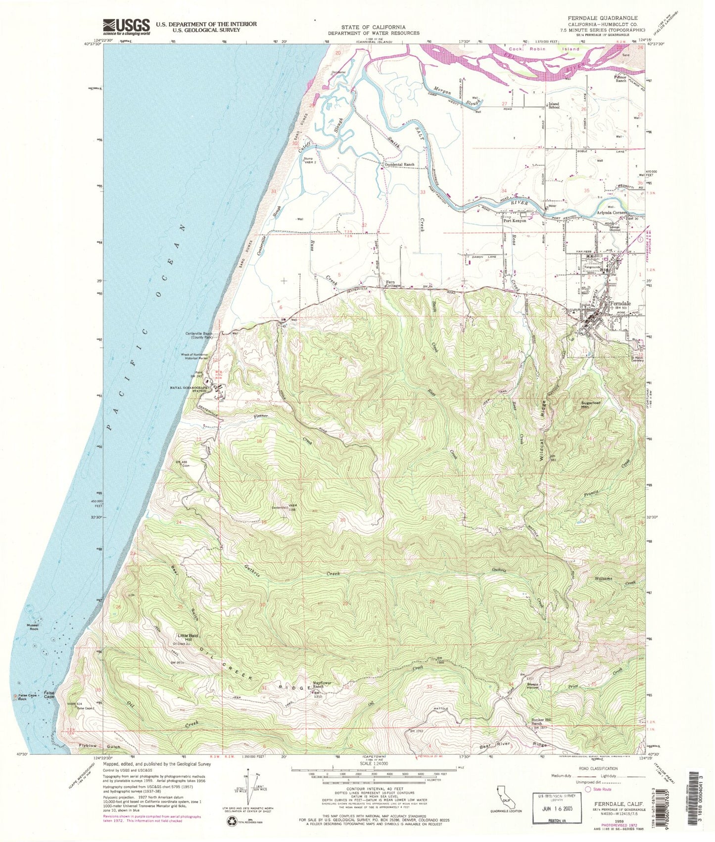
Historical USGS topographic quad map of Ferndale in the state of California. Map scale may vary for some years, but is generally around 1:24,000. Print size is approximately 24" x 27"
This quadrangle is in the following counties: Humboldt.
The map contains contour lines, roads, rivers, towns, and lakes. Printed on high-quality waterproof paper with UV fade-resistant inks, and shipped rolled.
Contains the following named places: Arlynda Corners, Bear Gulch, Bunker Hill Ranch, Bunker Hill School, Centerville, Centerville Beach, Centerville School, Centerville Slough, Church of the Assumption, City of Ferndale, Comisto Ranch, Congregational Church Independent-Evangelical, Cutoff Slough, East Lake Slough, Eel River Delta, Ferindale Elementary School, Ferindale High School, Fern Cottage, Fern Cottage Historic District, Ferndale, Ferndale Cemetery, Ferndale Childrens Center, Ferndale City Hall, Ferndale Fire Department, Ferndale Museum, Ferndale Police Department, Ferndale Post Office, Ferndale Public Library, Ferndale Wastewater Treatment Plant, Firemens Park, Fleener Creek, Francis Creek, Fulmor Ranch, Guthrie Creek, Humboldt County Fairgrounds, Island School, KQEX-FM (Rohnerville), Little Bald Hill, Mayflower Ranch, Morgan Slough, Naval Support Detachment Monterey, Occidental Ranch, Oil Creek Ridge, Our Saviors Lutheran Church, Port Kenyon, Reas Creek, Russ Creek, Saint Marks Lutheran Church, Saint Marys Cemetery, Sleepy Hollow, Smith Creek, Sugarloaf Mountain, Wildcat Ridge, Woodland Echo Ranch, Wreck of Northerner Historical Mark, ZIP Code: 95536


