MyTopo
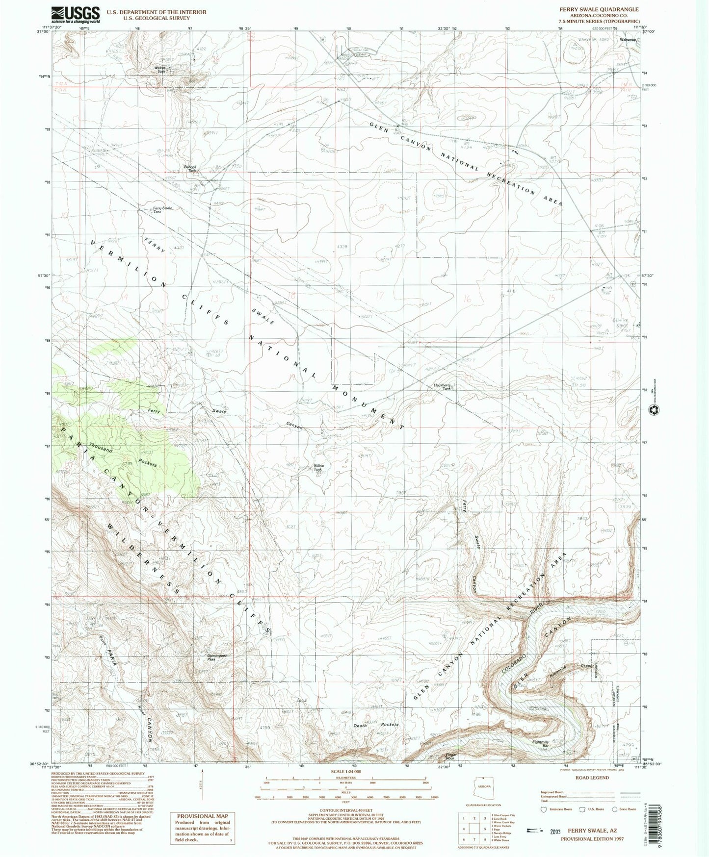
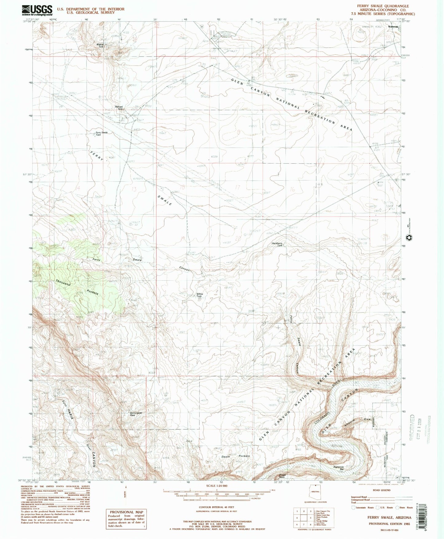
Classic USGS Ferry Swale Arizona 7.5'x7.5' Topo Map
Couldn't load pickup availability
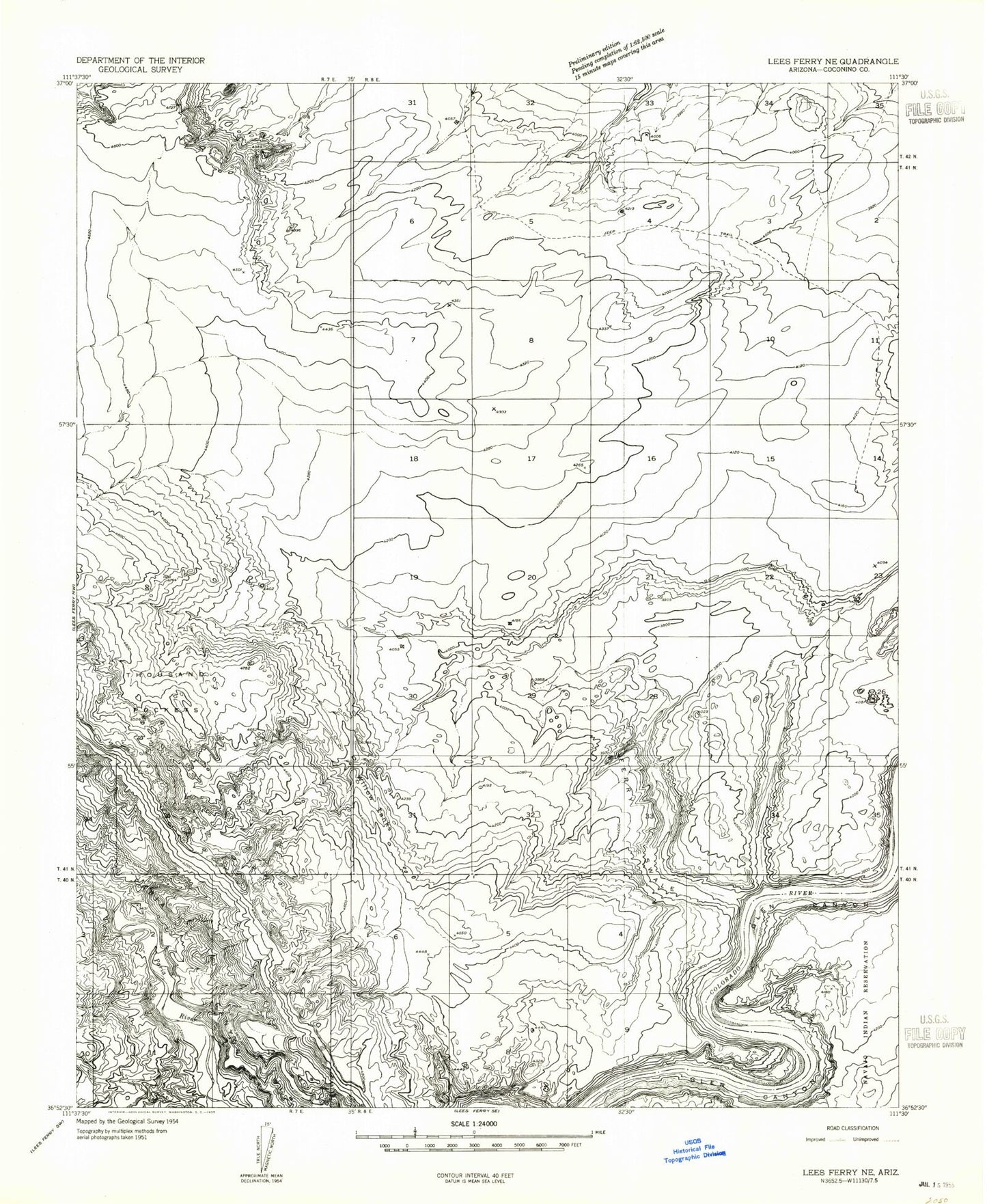
Historical USGS topographic quad map of Ferry Swale in the state of Arizona. Typical map scale is 1:24,000, but may vary for certain years, if available. Print size: 24" x 27"
This quadrangle is in the following counties: Coconino.
The map contains contour lines, roads, rivers, towns, and lakes. Printed on high-quality waterproof paper with UV fade-resistant inks, and shipped rolled.
Contains the following named places: Ferry Swale, Thousand Pockets, Willow Tank, Bishops Tank, Ferry Swale Canyon, Page Maintenance Yard, City of Page, Greenehaven Census Designated Place, Greenehaven, Ferry Swale, Thousand Pockets, Willow Tank, Bishops Tank, Ferry Swale Canyon, Page Maintenance Yard, City of Page, Greenehaven Census Designated Place, Greenehaven