MyTopo
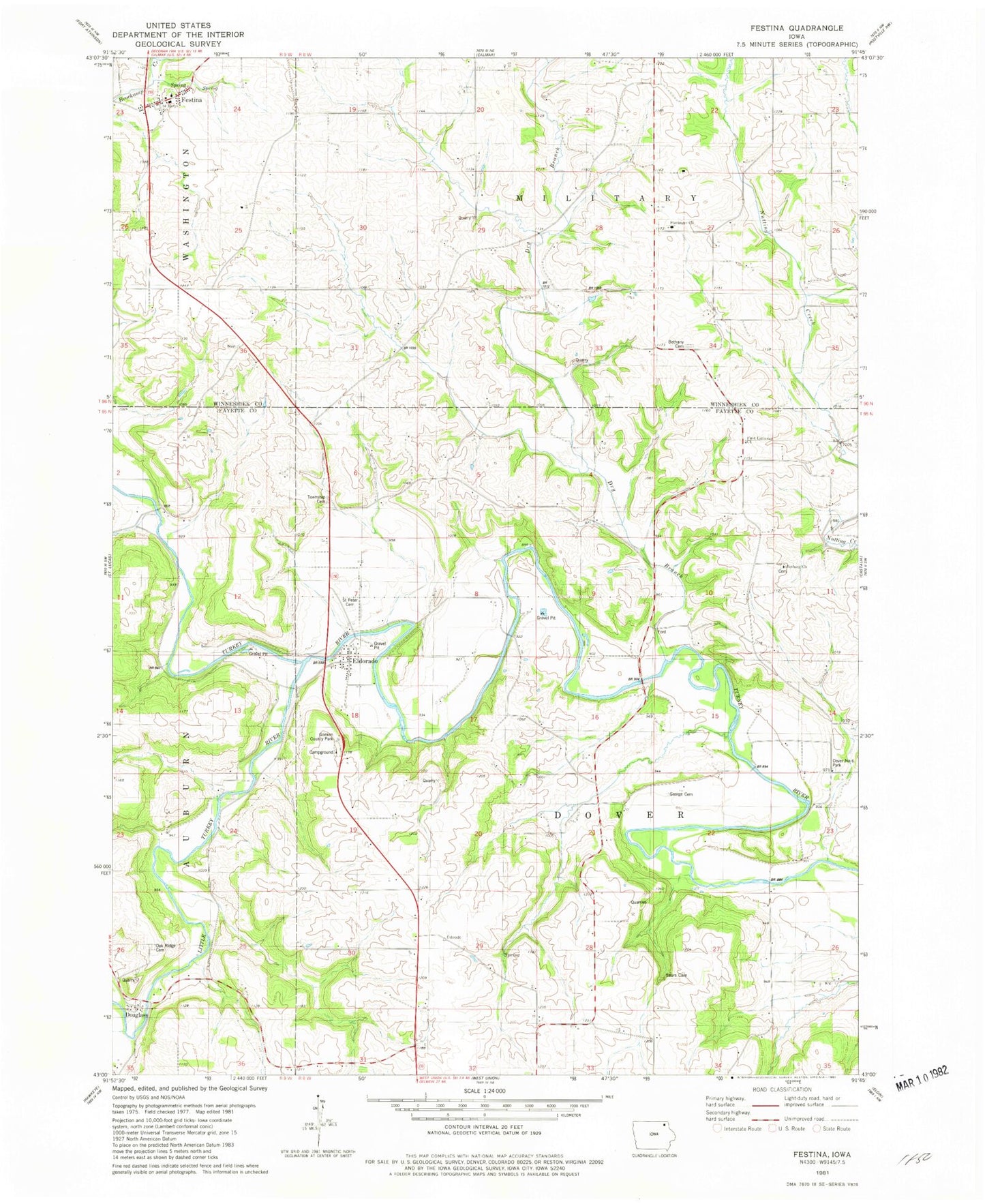
Classic USGS Festina Iowa 7.5'x7.5' Topo Map
Couldn't load pickup availability
Historical USGS topographic quad map of Festina in the state of Iowa. Map scale may vary for some years, but is generally around 1:24,000. Print size is approximately 24" x 27"
This quadrangle is in the following counties: Fayette, Winneshiek.
The map contains contour lines, roads, rivers, towns, and lakes. Printed on high-quality waterproof paper with UV fade-resistant inks, and shipped rolled.
Contains the following named places: Auburn Township Cemetery, Bethany Church, Bethany Lutheran Church Cemetery, Douglas Church, Douglass, Douglass Post Office, Dover Number Six Park, Dover Township Cemetery, Dry Branch, Eldorado, Eldorado Bridge, Eldorado Post Office, Festina, Festina Post Office, First Lutheran Cemetery, First Lutheran Church, Gamble Grove Post Office, George Cemetery, Goeken County Park, Little Turkey River, Oak Ridge Cemetery, Our Lady of Seven Dolors Church, Saint Marys Cemetery, Saint Marys School, Saint Peter Kirchof Cemetery, Saint Peters Lutheran Church, Smallest Church Cemetery, Stavanger Cemetery, Stavanger Church, Township of Dover, W42 Bridge, West Auburn


