MyTopo
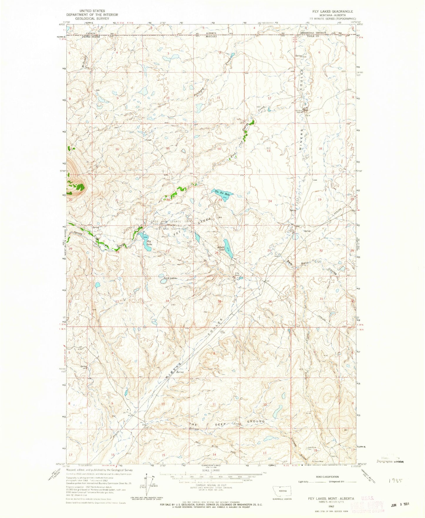
Classic USGS Fey Lakes Montana 7.5'x7.5' Topo Map
Couldn't load pickup availability
Historical USGS topographic quad map of Fey Lakes in the state of Montana. Map scale may vary for some years, but is generally around 1:24,000. Print size is approximately 24" x 27"
This quadrangle is in the following counties: Toole.
The map contains contour lines, roads, rivers, towns, and lakes. Printed on high-quality waterproof paper with UV fade-resistant inks, and shipped rolled.
Contains the following named places: 36N02E01BCBA01 Well, 36N02E03ADAB01 Well, 36N02E03DD01__ Spring, 36N02E09DBDA01 Spring, 37N02E11DBBD01 Well, 37N02E23CDAC01 Well, 37N02E25BBA01_ Well, 37N02E25DDAB01 Well, 37N02E26BDAC01 Well, 37N02E26DCDD01 Spring, 37N02E26DDDB01 Well, 37N02E35AABA01 Well, 37N03E06CBD01_ Well, 37N03E07BBBA01 Well, 37N03E07CBAC01 Well, 37N03E07CBAC02 Well, 37N03E07CBCD01 Well, 37N03E19CBCC01 Well, 37N03E30BBAC01 Well, A and A Fey Dam, A Fey Ranch, Alkali Dam, Alkali Lake, Barnes Coulee, Big Lake, Big Lake Dam, Dead Horse Coulee, Eclipse Creek, Eclipse Gulch, Fey Lakes, Fred and George Creek, Fred and George Creek Oil and Gas Field, Gold Butte Cemetery, Gold Butte Mine, Him Dam, J Fey Ranch, Jones Lake, Moltz Lake, North Creek, Prichard Creek, Ruby Johnson Lake, Sam Ross Coulee, Spring Creek, Swan Lake, Telephone Coulee, The Deep Ground, The Pot Hole, The Pot Hole Dam, Twin Lakes


