MyTopo
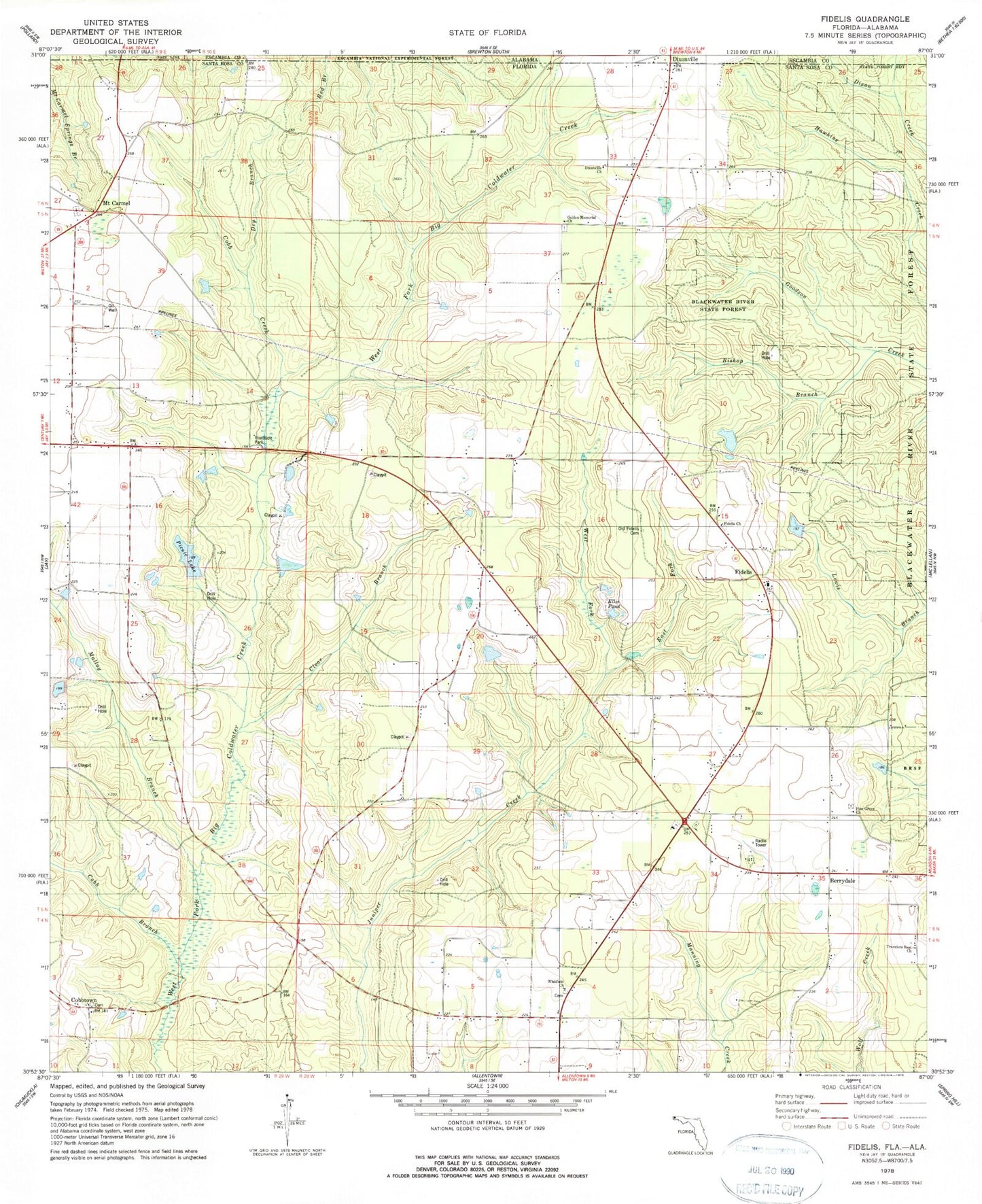
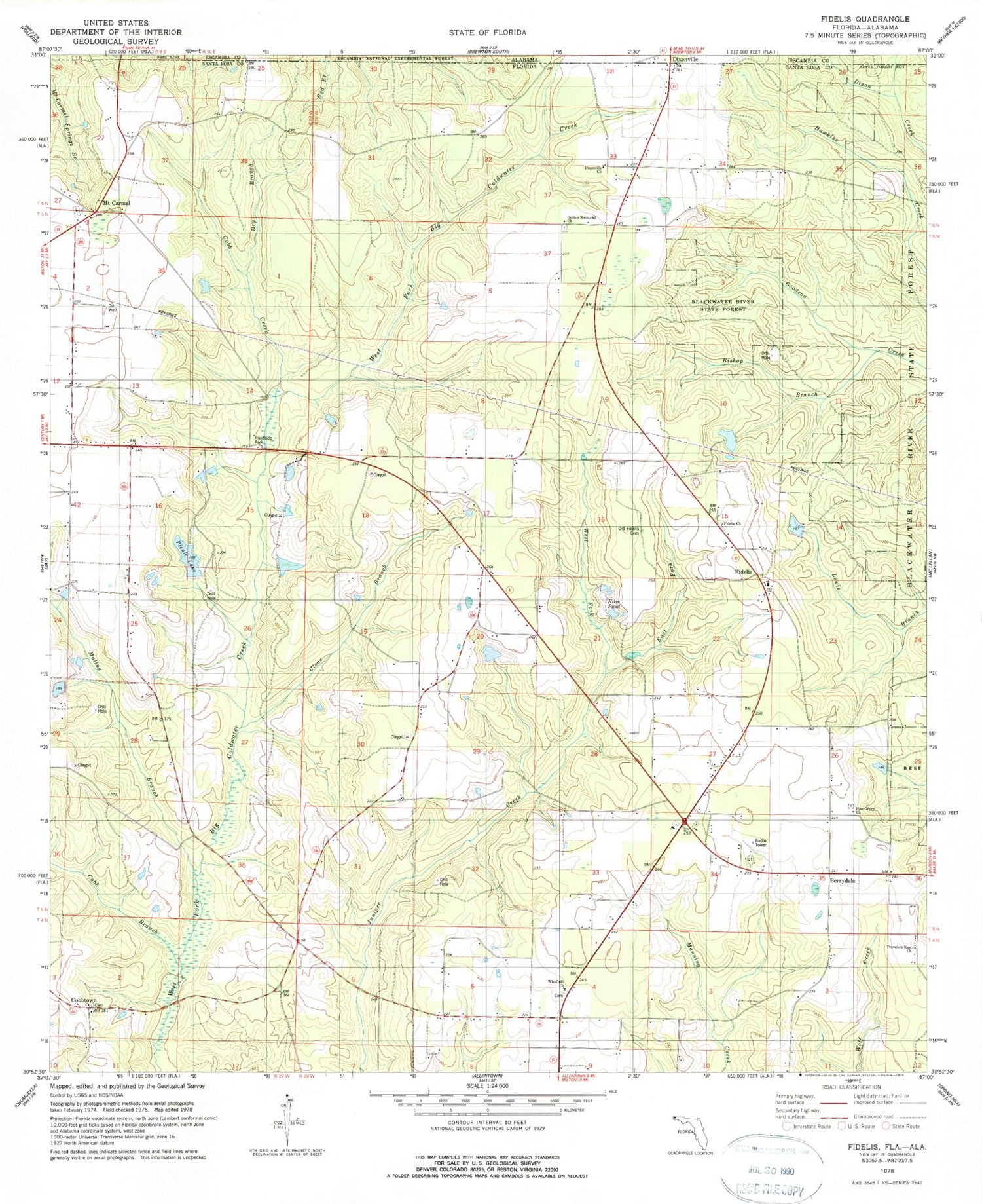
Classic USGS Fidelis Florida 7.5'x7.5' Topo Map
Couldn't load pickup availability
Historical USGS topographic quad map of Fidelis in the state of Florida. Map scale may vary for some years, but is generally around 1:24,000. Print size is approximately 24" x 27"
This quadrangle is in the following counties: Escambia, Santa Rosa.
The map contains contour lines, roads, rivers, towns, and lakes. Printed on high-quality waterproof paper with UV fade-resistant inks, and shipped rolled.
Contains the following named places: Berrydale, Berrydale Census Designated Place, Berrydale Division, Berrydale Fire Department Station 14, Bishop Branch, Clear Branch, Cobb Branch, Cobb Creek, Cobbtown, Cobbtown Census Designated Place, Copeland Cemetery, Crossroads Cemetery, Crossroads Church, Dixonville, Dixonville Census Designated Place, Dixonville Church, Dry Branch, East Fork Juniper Creek, Ellis Pond, Fidelis, Fidelis Census Designated Place, Fidelis Church, Fidelis School, Golden Harvest Flying Service Inc, Golden Memorial Church, James Thomas Pond, Malloy Branch, Mount Carmel, Mount Carmel Census Designated Place, Picnic Lake, Pine Grove Church, Thomas Farms Airport, Travelers Rest Church, West Fork Juniper Creek, Whitfield, Whitfield Census Designated Place, Whitfield Church