MyTopo
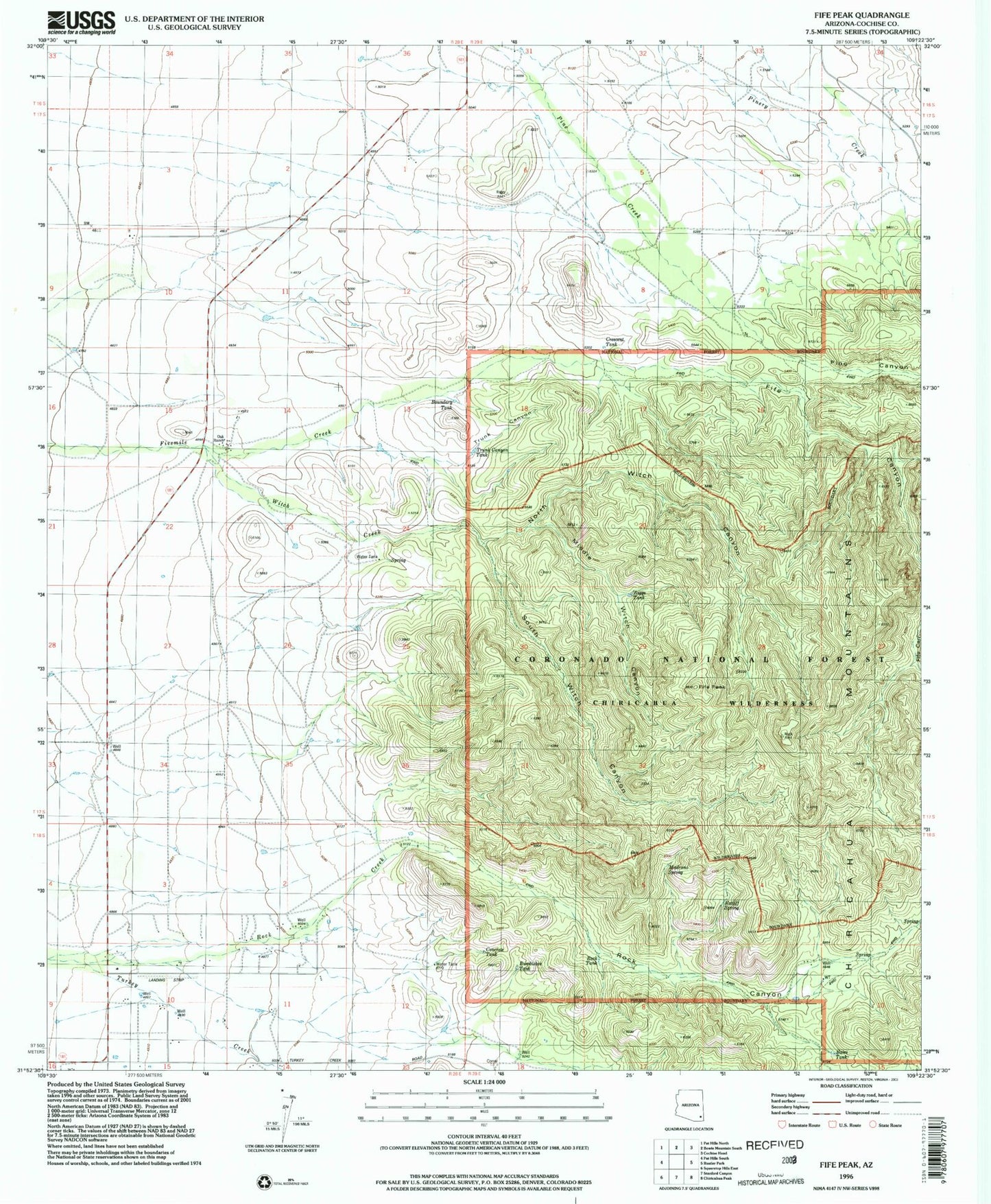
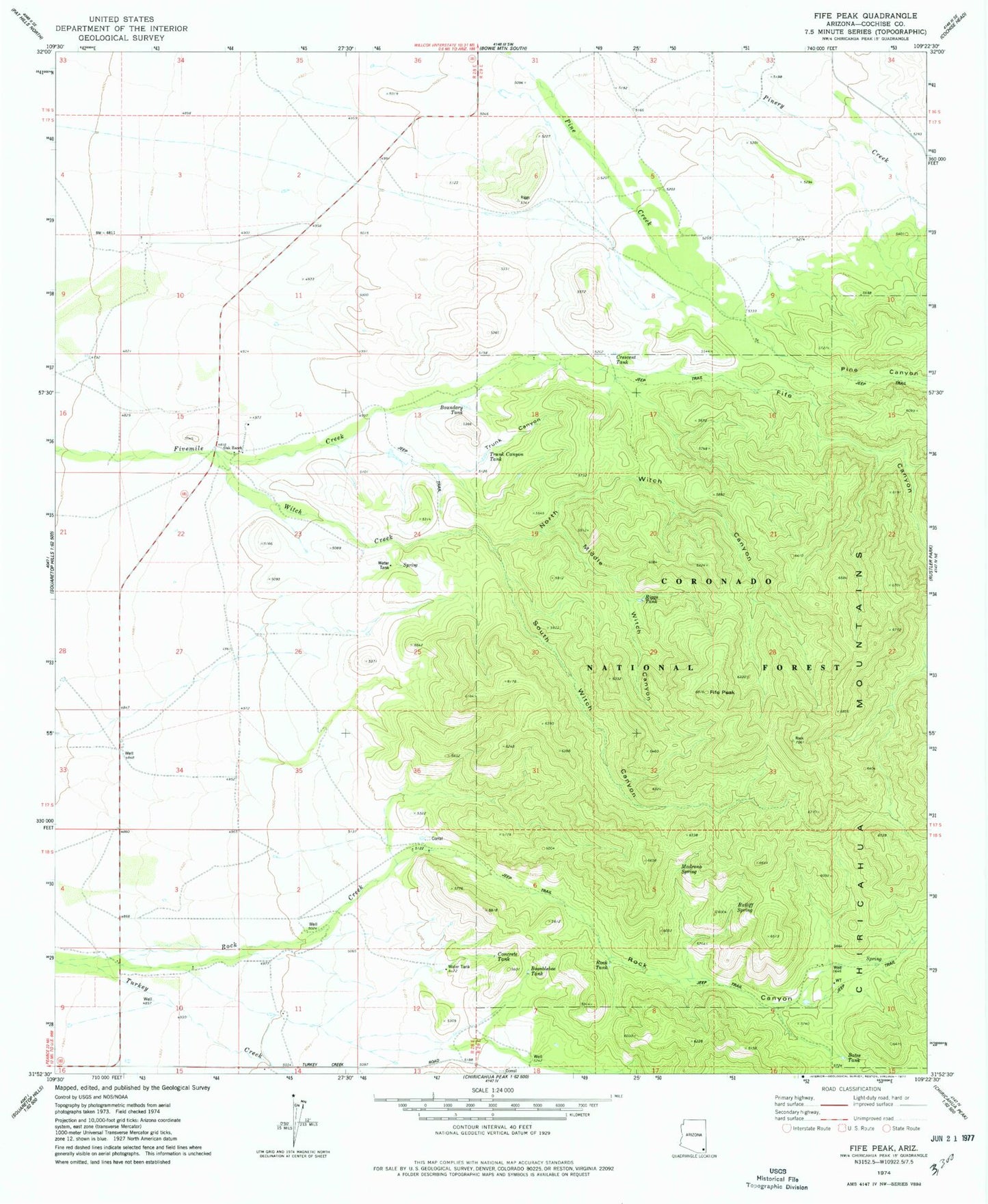
Classic USGS Fife Peak Arizona 7.5'x7.5' Topo Map
Couldn't load pickup availability
Historical USGS topographic quad map of Fife Peak in the state of Arizona. Map scale may vary for some years, but is generally around 1:24,000. Print size is approximately 24" x 27"
This quadrangle is in the following counties: Cochise.
The map contains contour lines, roads, rivers, towns, and lakes. Printed on high-quality waterproof paper with UV fade-resistant inks, and shipped rolled.
Contains the following named places: Baldridge Tank, Bates Tank, Boundary Tank, Bumblebee Tank, Concrete Tank, Crescent Tank, Fife Canyon, Fife Canyon Trail Two Hundred Fiftyeight, Fife Peak, Madrono Spring, Middle Witch Canyon, North Witch Canyon, Oak Ranch, Pine Canyon, Ratliff Spring, Riggs Tank, Rock Canyon, Rock Creek, Rock Tank, Roll Ranch, South Witch Canyon, Trunk Canyon, Trunk Canyon Tank, Witch Canyon Trail Two Hundred Sixty, Witch Creek