MyTopo
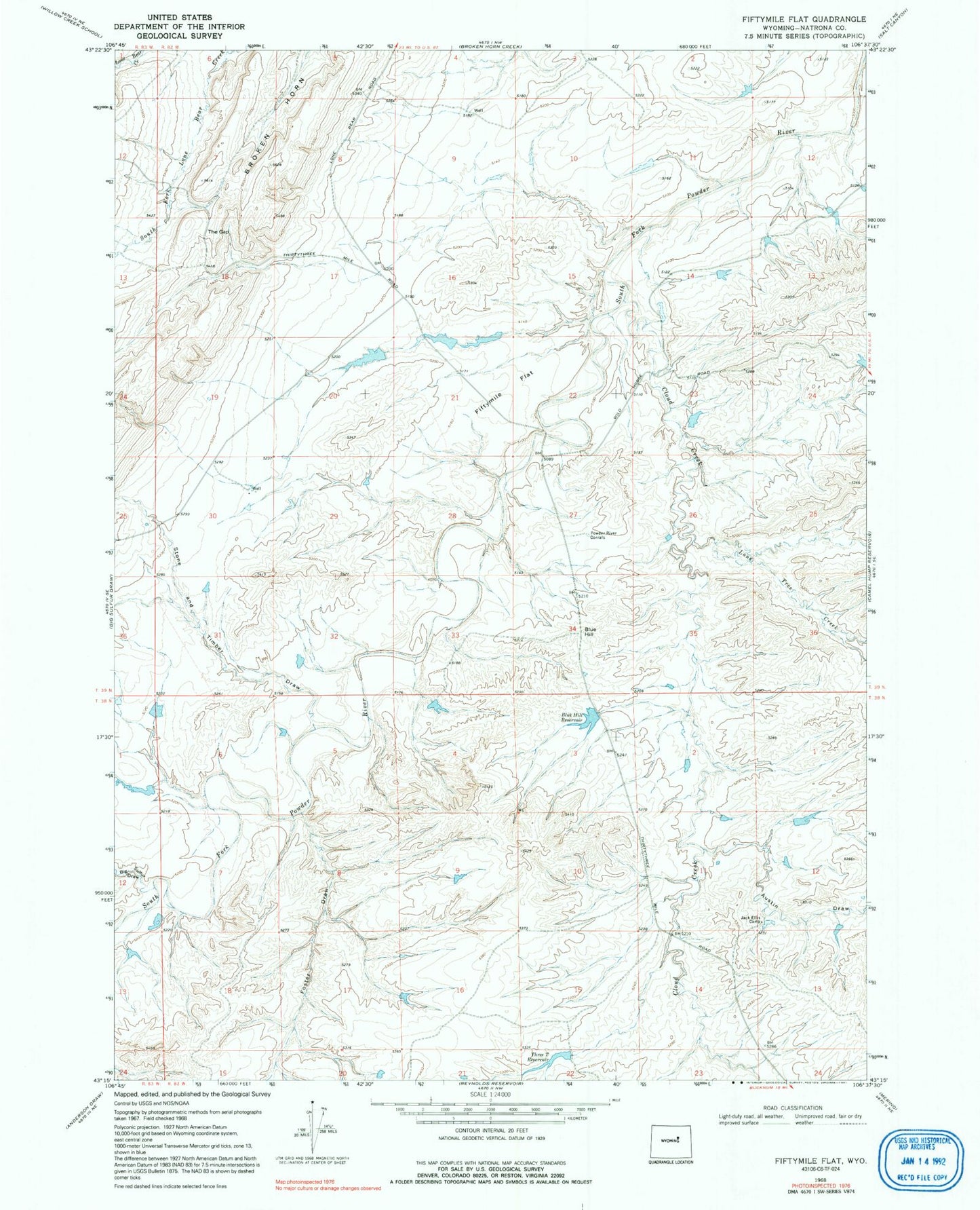
Classic USGS Fiftymile Flat Wyoming 7.5'x7.5' Topo Map
Couldn't load pickup availability
Historical USGS topographic quad map of Fiftymile Flat in the state of Wyoming. Map scale may vary for some years, but is generally around 1:24,000. Print size is approximately 24" x 27"
This quadrangle is in the following counties: Natrona.
The map contains contour lines, roads, rivers, towns, and lakes. Printed on high-quality waterproof paper with UV fade-resistant inks, and shipped rolled.
Contains the following named places: Austin Draw, Big Sulfur Draw, Blue Hill, Blue Hill Reservoir, Broken Horn, Cloud Creek, Fiftymile Flat, Foster Draw, Jack Dam, Jack Ellis Camp, Jack Reservoir, Kidd Ranch Number Twenty-five Mine, Lone Tree Creek, Powder River Corral, Stone and Timber Draw, The Gap, Three T Reservoir