MyTopo
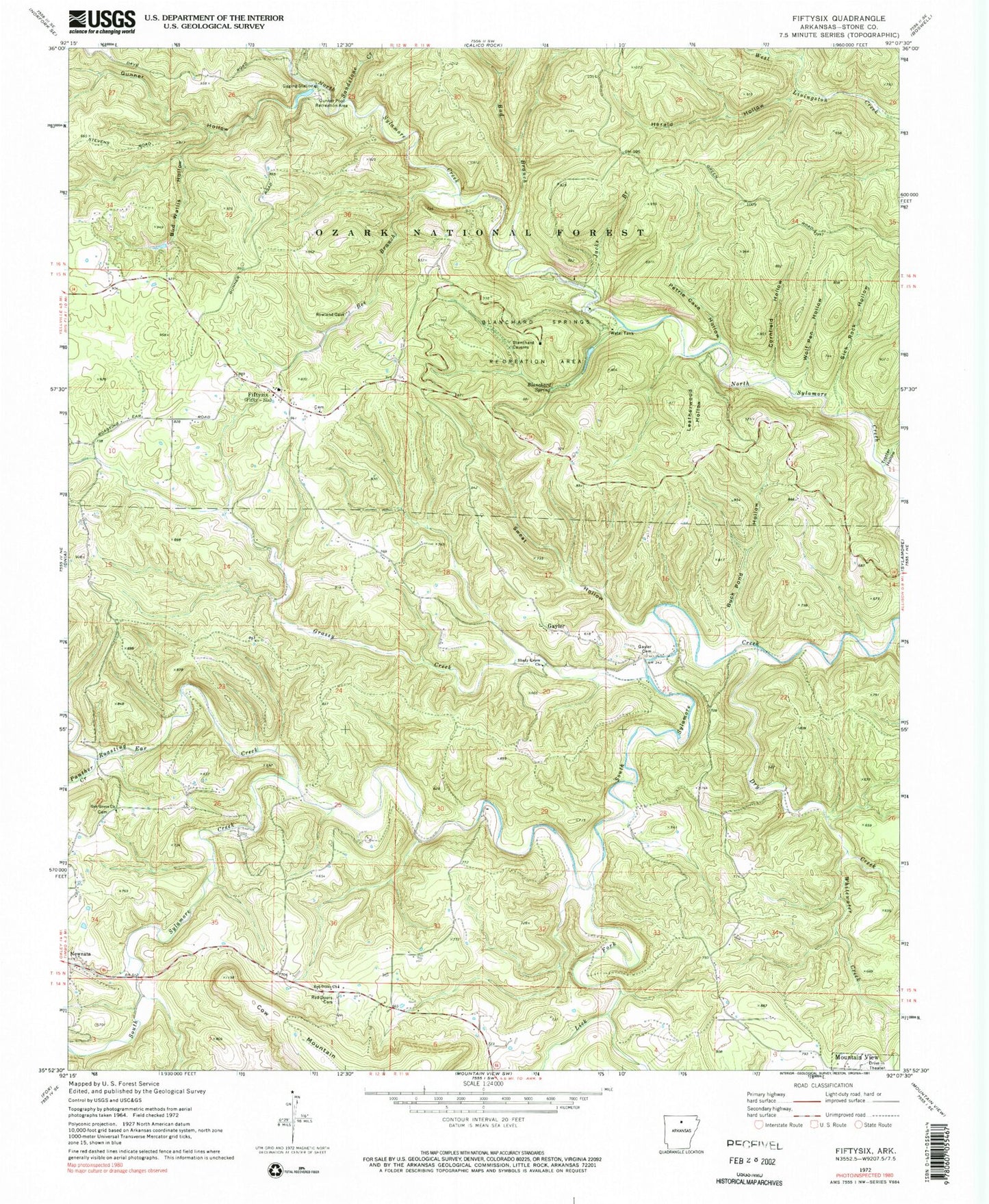
Classic USGS Fiftysix Arkansas 7.5'x7.5' Topo Map
Couldn't load pickup availability
Historical USGS topographic quad map of Fiftysix in the state of Arkansas. Typical map scale is 1:24,000, but may vary for certain years, if available. Print size: 24" x 27"
This quadrangle is in the following counties: Stone.
The map contains contour lines, roads, rivers, towns, and lakes. Printed on high-quality waterproof paper with UV fade-resistant inks, and shipped rolled.
Contains the following named places: Hedges (historical), Tri-County Elementary School, Township of Harris, Township of Northwest, Bad Branch, Bee Branch, Blanchard Spring, Blanchard Springs Recreation Area, Buck Pond Hollow, Bud Wallis Hollow, Cornfield Hollow, Dry Creek, Fiftysix, Gayler, Gayler Cemetery, Grassy Creek, Gunner Creek, Gunner Hollow, Gunner Pool Recreation Area, Herald Hollow, Herdman Hollow, Jacks Branch, Leatherwood Hollow, Lick Fork, Oak Grove Church, Panther Creek, Petrie Cave Hollow, Red Doors Cemetery, Red Doors Church, Rough Hollow, Sandstone Creek, Shady Grove Church, Sick Rock Hollow, Sweat Hollow, Trotter Hollow, Tubbs Creek, Whitewater Creek, Wolf Pen Hollow, Partee Spring, Fiftysix Work Center, North Sylamore Campground, Shelter Cave Picnic Area, Roasting Ear Creek, Gunner Pool Lake Dam, Gunner Pool Lake, Blanchard Springs Dam, Mirror Lake, Fifty - Six Volunteer Fire Department Main Station, Fifty - Six Volunteer Fire Department Substation, City of Fifty-Six, Stone Drive-In, North Sylamore Creek Wild and Scenic River


