
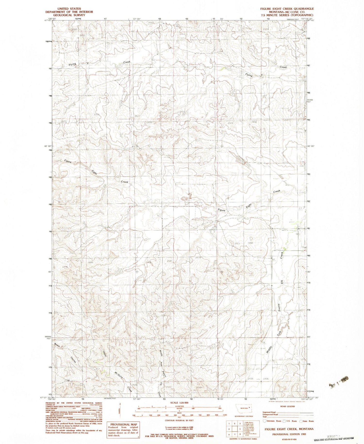
MyTopo
Classic USGS Figure Eight Creek Montana 7.5'x7.5' Topo Map
Regular price
$16.95
Regular price
Sale price
$16.95
Unit price
per
Couldn't load pickup availability
Historical USGS topographic quad map of Figure Eight Creek in the state of Montana. Map scale may vary for some years, but is generally around 1:24,000. Print size is approximately 24" x 27"
This quadrangle is in the following counties: McCone.
The map contains contour lines, roads, rivers, towns, and lakes. Printed on high-quality waterproof paper with UV fade-resistant inks, and shipped rolled.
Contains the following named places: 22N45E22DDBB01 Well, 22N45E24ADDB01 Well, 22N45E24ADDB02 Well, 22N45E25ADCB01 Well, 22N45E26DBDD01 Well, 22N45E27AADB01 Well, 22N45E30BADC01 Well, Prairie Elk School


