MyTopo
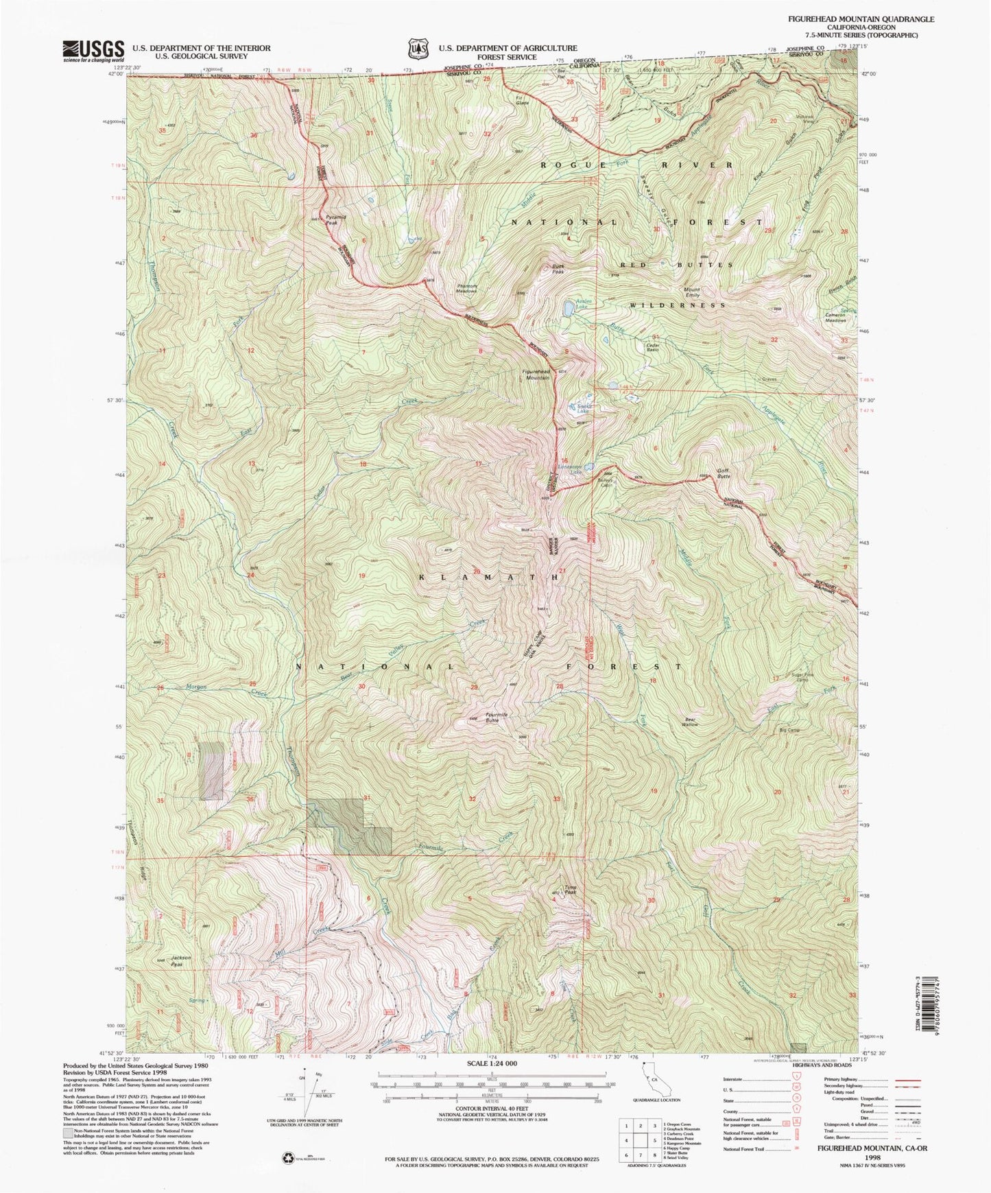
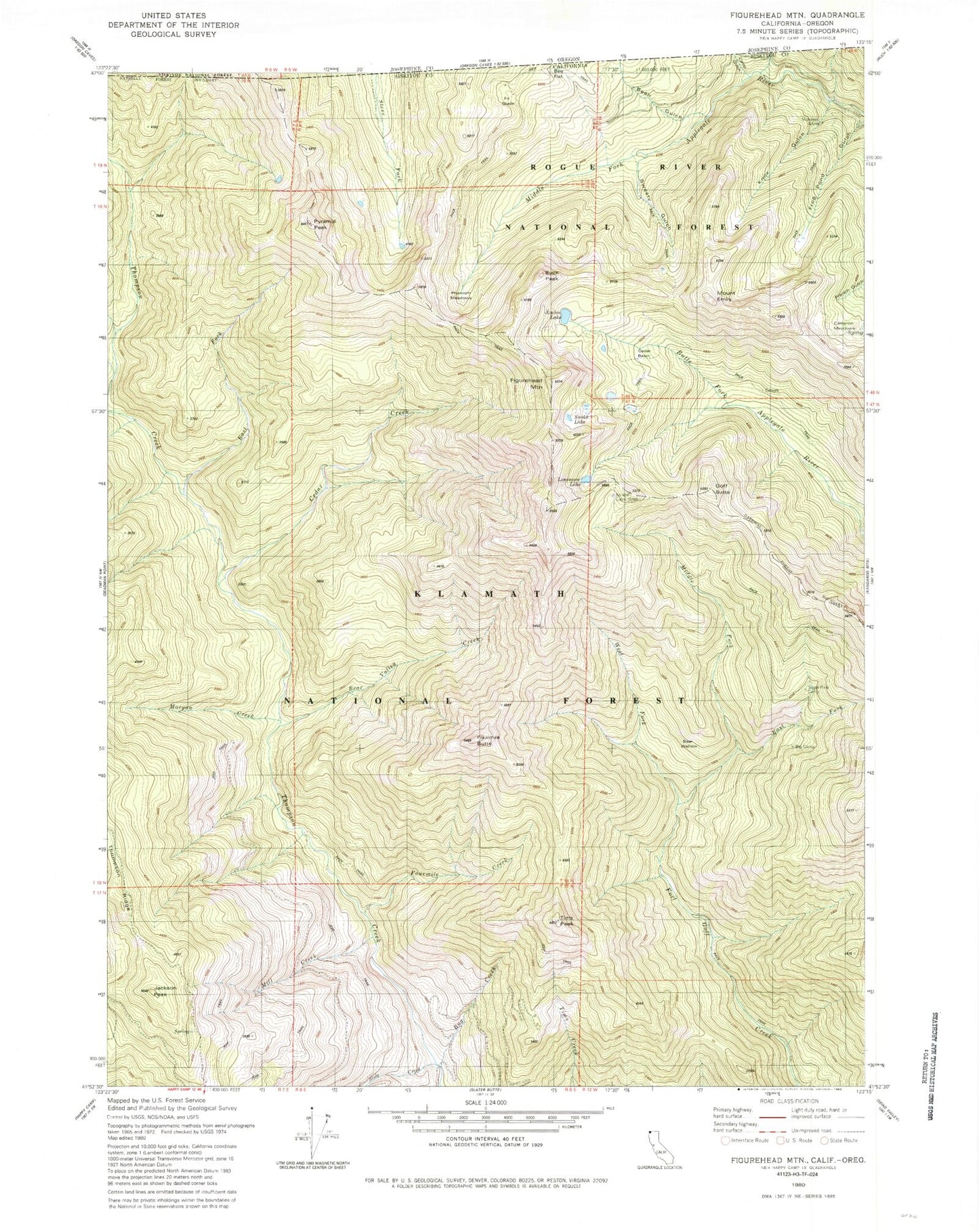
Classic USGS Figurehead Mountain California 7.5'x7.5' Topo Map
Couldn't load pickup availability
Historical USGS topographic quad map of Figurehead Mountain in the state of California. Map scale may vary for some years, but is generally around 1:24,000. Print size is approximately 24" x 27"
This quadrangle is in the following counties: Josephine, Siskiyou.
The map contains contour lines, roads, rivers, towns, and lakes. Printed on high-quality waterproof paper with UV fade-resistant inks, and shipped rolled.
Contains the following named places: Azalea Lake, Baileys Cabin, Bean Gulch, Bear Valley Creek, Bear Wallow, Bear Wallow Camp, Big Camp, Bill Fruit Trail, Boundary National Recreation Trail, Buck Peak, Bug Creek, Cameron Meadows, Camp Gulch, Cedar Basin, Cedar Creek, East Fork Fort Goff Creek, East Fork Thompson Creek, Figurehead Mountain, Fir Glade, Fourmile Butte, Fourmile Creek, Frog Pond Gulch, Goff Butte, Jackson Peak, Knox Gulch, Lonesome Lake, Middle Fork Fort Goff Creek, Mill Creek, Morgan Creek, Mount Emily, North Fork Camp, Phantom Meadows, Pyramid Peak, Red Buttes Wilderness, Rhodonite Mine, Slide Creek, Snake Lake, Sugar Pine Camp, Sweaty Gulch, Tims Peak, West Fork Fort Goff Creek, ZIP Code: 96086