MyTopo
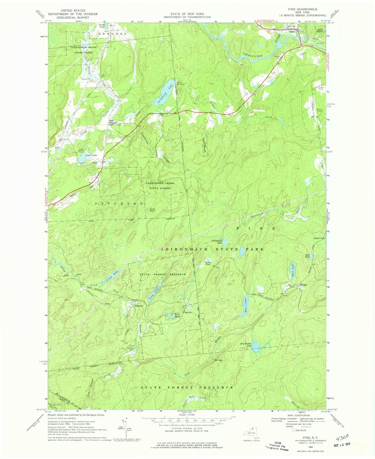
Classic USGS Fine New York 7.5'x7.5' Topo Map
Couldn't load pickup availability
Historical USGS topographic quad map of Fine in the state of New York. Typical map scale is 1:24,000, but may vary for certain years, if available. Print size: 24" x 27"
This quadrangle is in the following counties: Lewis, St. Lawrence.
The map contains contour lines, roads, rivers, towns, and lakes. Printed on high-quality waterproof paper with UV fade-resistant inks, and shipped rolled.
Contains the following named places: Bear Lake, Briggs, Camp Portaferry, Camp Trefoil, Cold Spring Creek, Dry Timber Lake, East Pitcairn, Fine, Grass Pond, Greenwood Creek, Greenwood Creek State Forest, Gulf Stream, Jayville, Jenny Lake, Kalurah, Long Lake, Mud Pond, Portaferry Lake, Rock Lake, Snyder Lake, Spider Pond, The Gulf, Twin Ponds, Cold Spring Brook State Forest, Yellow Creek, East Pitcairn Cemetery, Fine Volunteer Fire Department, Greenwood Falls, Fine Post Office, Madison Chute, Rock Dam Falls