
MyTopo
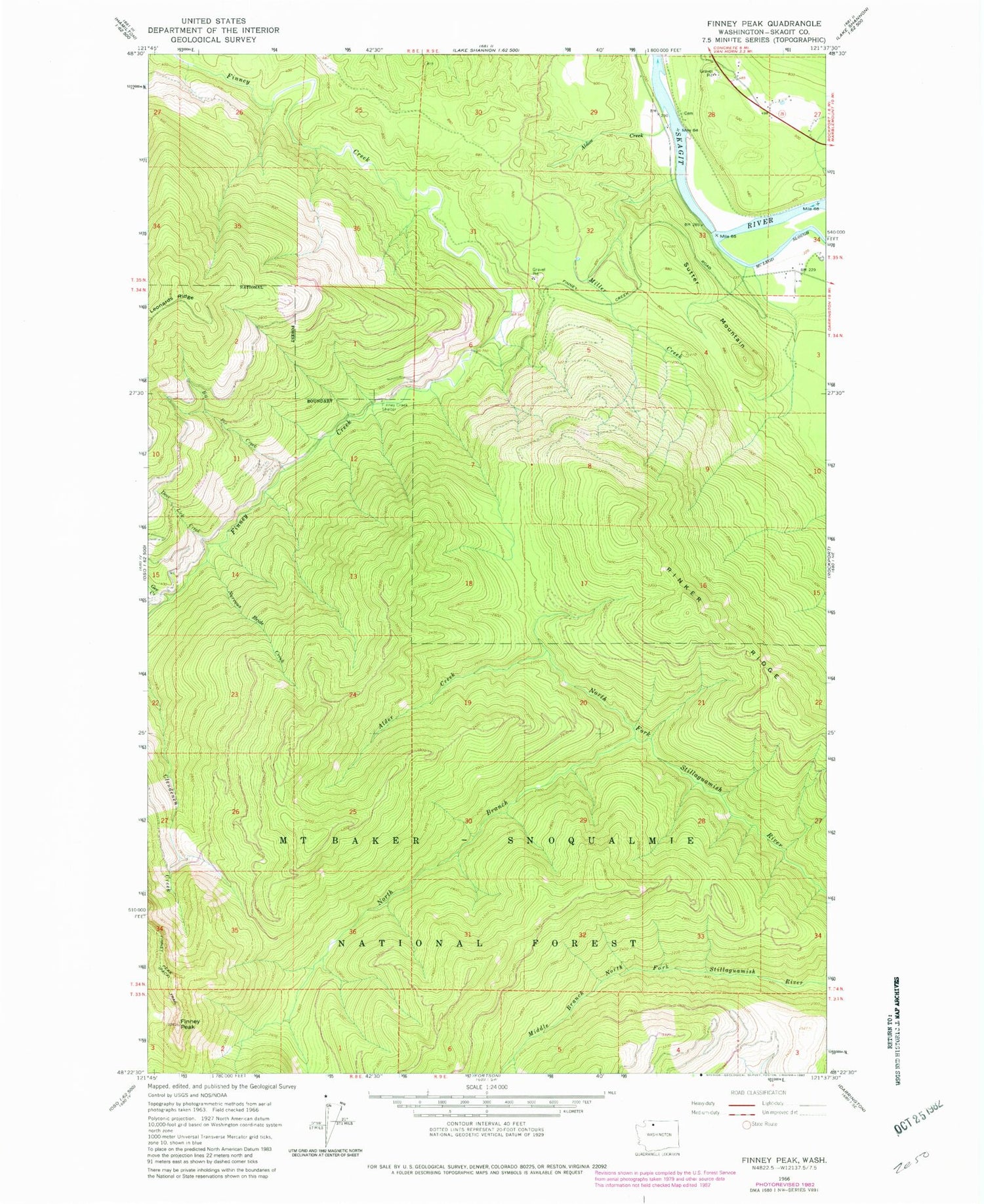
Classic USGS Finney Peak Washington 7.5'x7.5' Topo Map
Couldn't load pickup availability
Historical USGS topographic quad map of Finney Peak in the state of Washington. Map scale may vary for some years, but is generally around 1:24,000. Print size is approximately 24" x 27"
This quadrangle is in the following counties: Skagit.
The map contains contour lines, roads, rivers, towns, and lakes. Printed on high-quality waterproof paper with UV fade-resistant inks, and shipped rolled.
Contains the following named places: Alder Creek, Aldon Creek, Big Fir Creek, Deer Lick Creek, Finney Creek Shelter, Finney Peak, Finney Peak Lookout, Gee Creek, McLeod Slough, Miller Creek, Nervous Bride Creek, North Branch North Fork Stillaguamish River, Rinker Ridge, Rockport Quarry, Sauk, Sauk Guard Station, Sauk Station, Sutter Mountain


