MyTopo
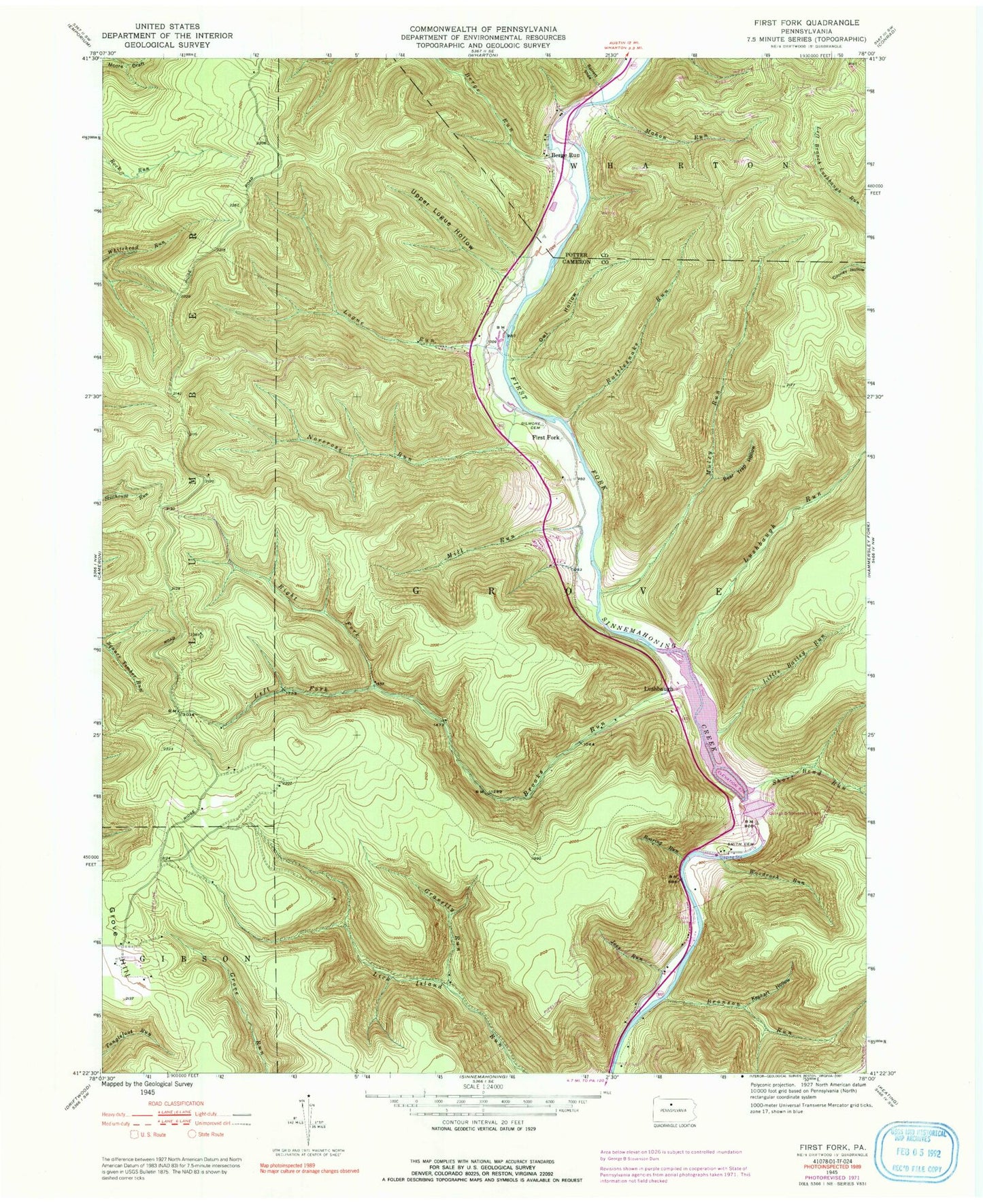
Classic USGS First Fork Pennsylvania 7.5'x7.5' Topo Map
Couldn't load pickup availability
Historical USGS topographic quad map of First Fork in the state of Pennsylvania. Typical map scale is 1:24,000, but may vary for certain years, if available. Print size: 24" x 27"
This quadrangle is in the following counties: Cameron, Potter.
The map contains contour lines, roads, rivers, towns, and lakes. Printed on high-quality waterproof paper with UV fade-resistant inks, and shipped rolled.
Contains the following named places: Sinnemahoning State Park, Barrett Slide, Bear Trap Hollow, Berge Run, Berge Run, Bronson Run, Brooks Run, George B Stevenson Dam, Gilmore Cemetery, Gravelly Run, Joes Run, Kephart Hollow, Left Fork Brooks Run, Little Bailey Run, Logue Run, Lushbaugh Run, Mahon Run, Mill Run, Muley Run, Norcross Run, Owl Hollow, Rattlesnake Run, Right Fork Brooks Run, Roaring Run, Short Bend Run, Smith Cemetery, Upper Logue Hollow, Woodrock Run, First Fork School (historical), First Fork, Lushbaugh, Brooks Firetower, Owl Run, Upper Logue Run, Township of Grove, George B Stevenson Reservoir, Gilmore Cemetery


