MyTopo
Classic USGS First Musquacook Lake Maine 7.5'x7.5' Topo Map
Couldn't load pickup availability
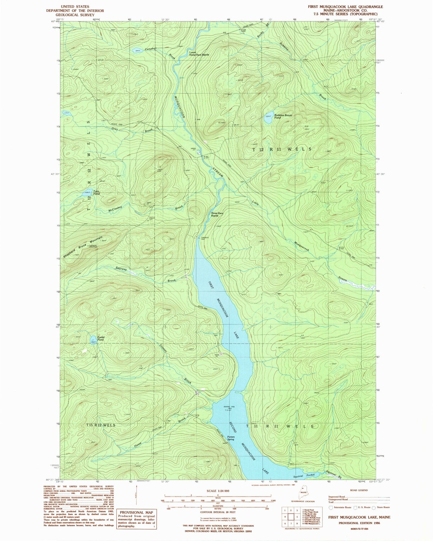
Historical USGS topographic quad map of First Musquacook Lake in the state of Maine. Map scale may vary for some years, but is generally around 1:24,000. Print size is approximately 24" x 27"
This quadrangle is in the following counties: Aroostook.
The map contains contour lines, roads, rivers, towns, and lakes. Printed on high-quality waterproof paper with UV fade-resistant inks, and shipped rolled.
Contains the following named places: Campbell Brook, Conner Brook, Eyelet Pond, First Musquacook Lake, Grey Brook, Hesse Brook, Horse Race Rapids, Little Musquacook Stream, Lower Horse Race Rapids, McCluskey Brook, Porters Spring, Robbins Brook, Robbins Brook Pond, Searway Brook, Second Musquacook Lake, Shepherd Brook Mountain, Squirrel Brook, Squirrel Pocket, T12 R11 WELS, Twin Pond