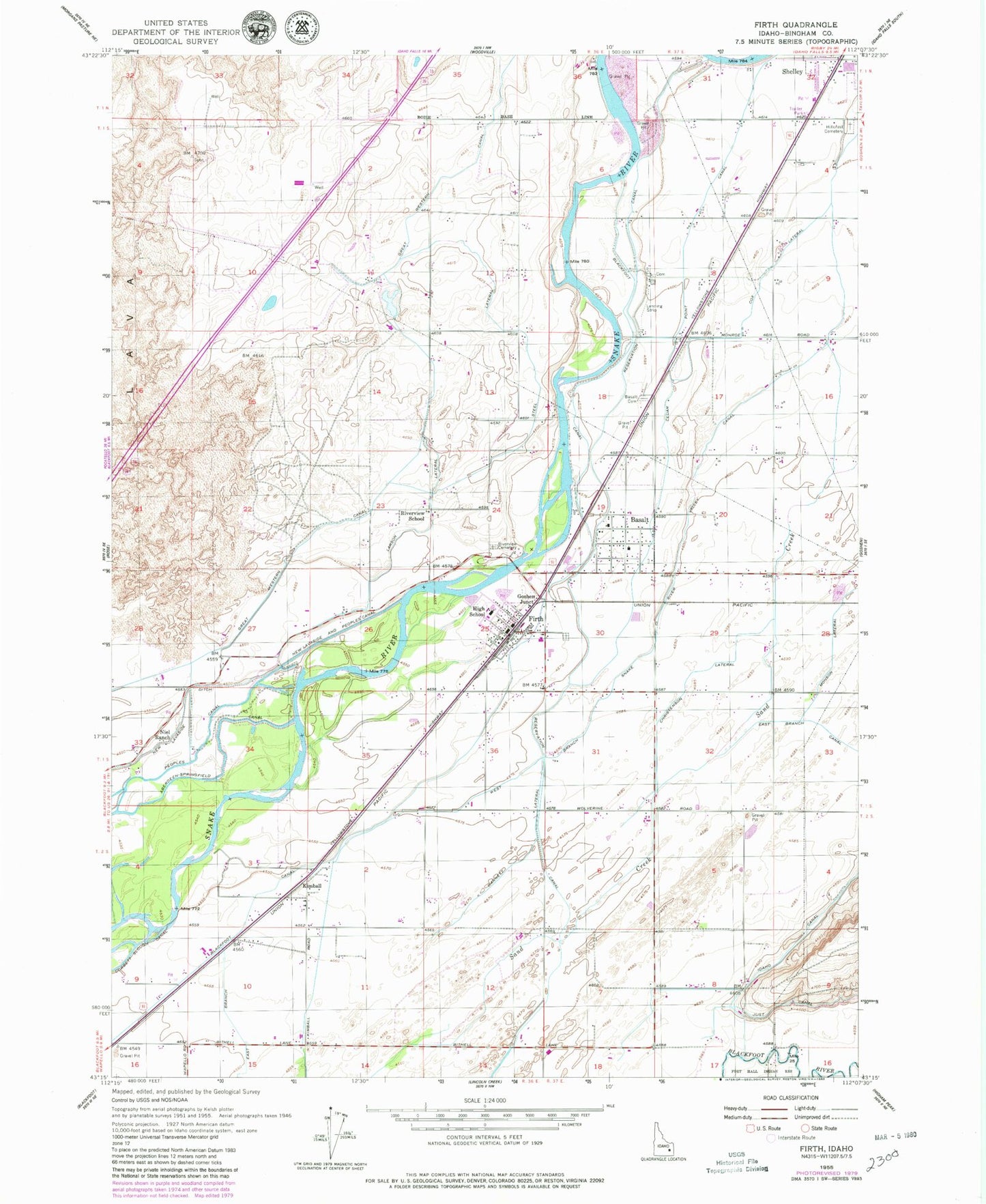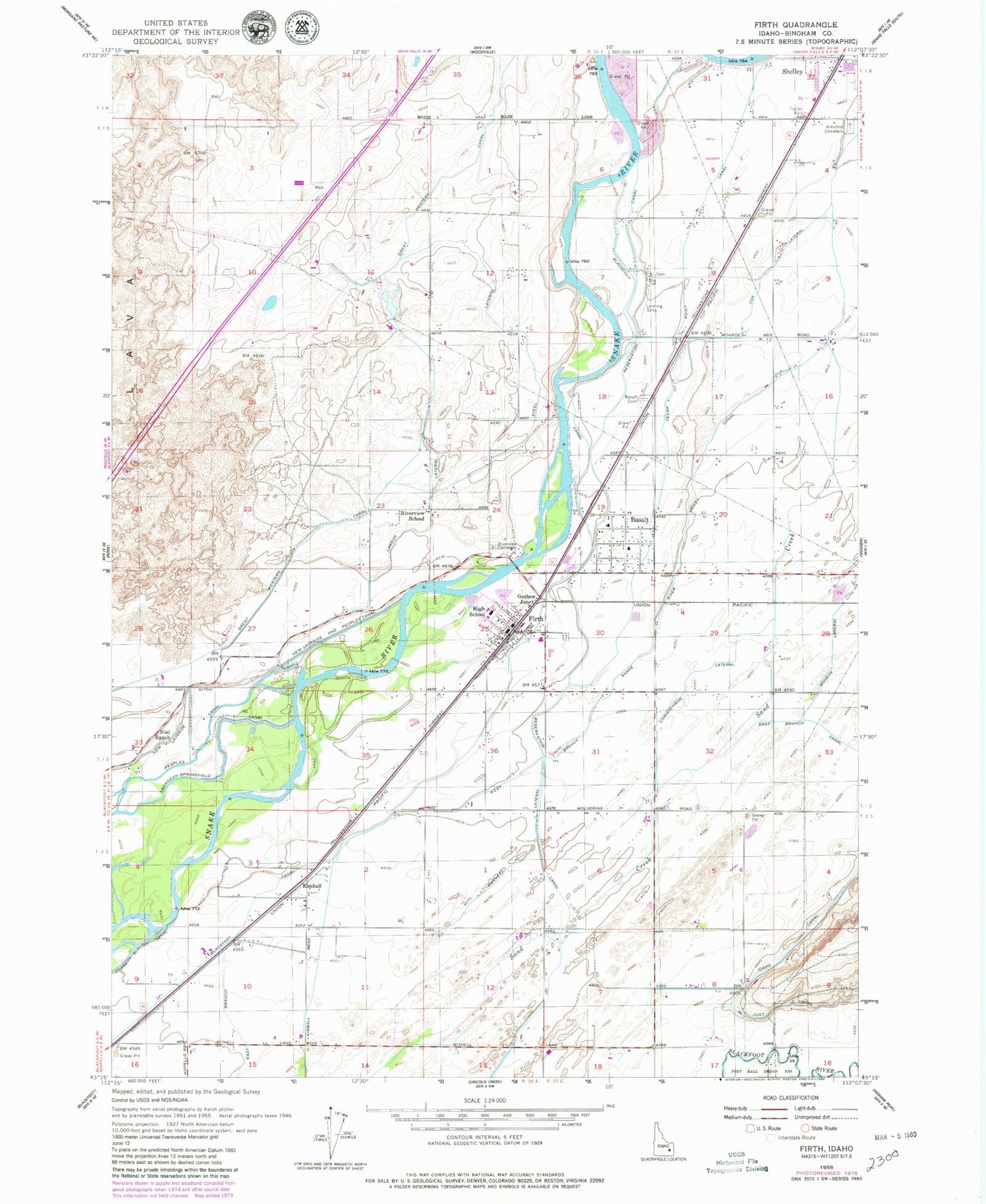
MyTopo
Classic USGS Firth Idaho 7.5'x7.5' Topo Map
Couldn't load pickup availability
Historical USGS topographic quad map of Firth in the state of Idaho. Map scale may vary for some years, but is generally around 1:24,000. Print size is approximately 24" x 27"
This quadrangle is in the following counties: Bingham.
The map contains contour lines, roads, rivers, towns, and lakes. Printed on high-quality waterproof paper with UV fade-resistant inks, and shipped rolled.
Contains the following named places: A W Johnson Elementary School, Basalt, Basalt Canal, Basalt Cemetery, Basalt Post Office, Blackfoot Canal, Cedar Point Canal, Christenson Lateral, City of Basalt, City of Firth, Cox Lateral, Firth, Firth Division, Firth High School, Firth Post Office, Goshen Junction, Harding Gibbs Middle School, Hillcrest Cemetery, Jensen Lateral, Kimball, Larson Lateral, Neil Ranch, New Lavaside and People Canal, Reservation Canal, Riverview Cemetery, Riverview School, Shelley - Firth Fire District, Shelley Firth Fire District, Shelley Senior High School, Steel Lateral, Warnett Lateral, West Branch Snake River Valley Canal, ZIP Code: 83218