MyTopo
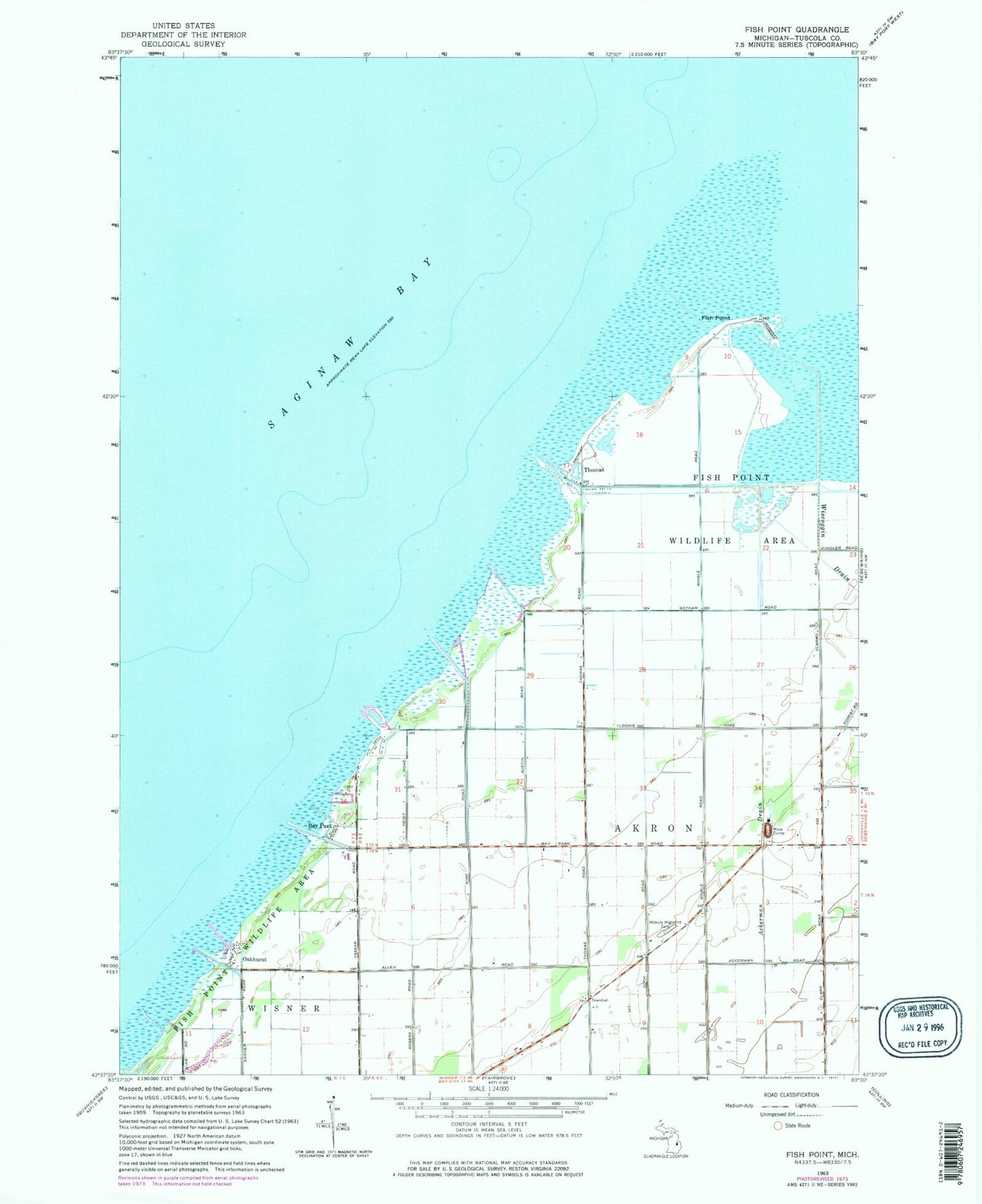
Classic USGS Fish Point Michigan 7.5'x7.5' Topo Map
Regular price
$16.95
Regular price
Sale price
$16.95
Unit price
per
Couldn't load pickup availability
Historical USGS topographic quad map of Fish Point in the state of Michigan. Map scale may vary for some years, but is generally around 1:24,000. Print size is approximately 24" x 27"
This quadrangle is in the following counties: Huron, Tuscola.
The map contains contour lines, roads, rivers, towns, and lakes. Printed on high-quality waterproof paper with UV fade-resistant inks, and shipped rolled.
Contains the following named places: Ackerman Drain, Bay Park, Fish Point, Hickory Highland Cemetery, Oakhurst, Oakhurst Park Marina Association, Sunset Bay Marina Incorporated, Thomas, Thomas Marina, Township of Akron, Wiscoggin Drain