
MyTopo
Classic USGS Fish River Lake Maine 7.5'x7.5' Topo Map
Couldn't load pickup availability
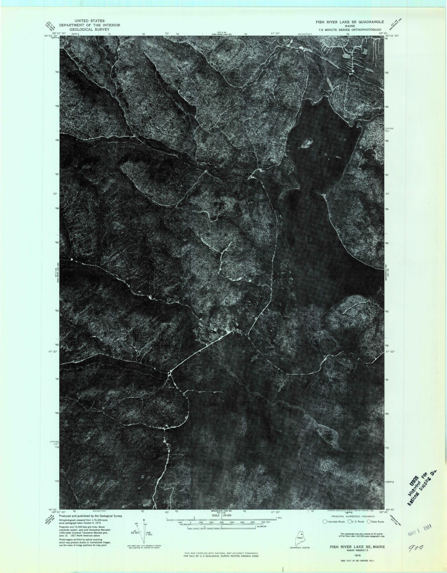
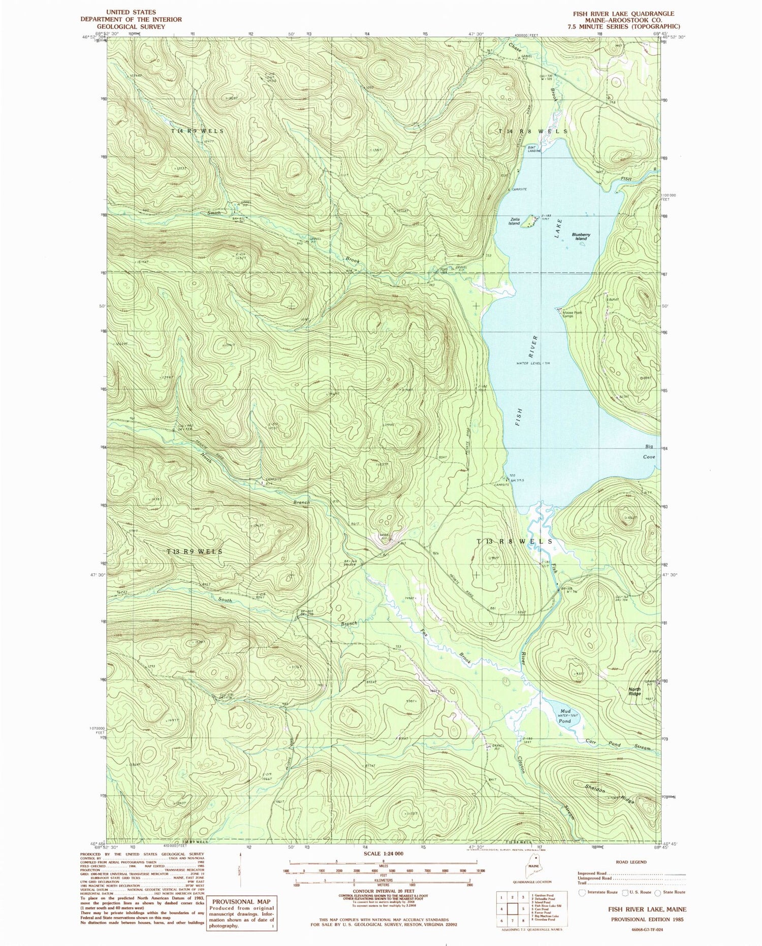
Historical USGS topographic quad map of Fish River Lake in the state of Maine. Map scale may vary for some years, but is generally around 1:24,000. Print size is approximately 24" x 27"
This quadrangle is in the following counties: Aroostook.
The map contains contour lines, roads, rivers, towns, and lakes. Printed on high-quality waterproof paper with UV fade-resistant inks, and shipped rolled.
Contains the following named places: Big Cove, Blanchards Depot Camp, Blueberry Island, Carr Pond Stream, Chase Brook, Clayton Stream, Fish River Lake, Fivemile Brook, Fox Brook, Fox Brook Trail, Moose Point Camps, Mud Pond, North Branch Fox Brook, Sheldon Ridge, Smith Brook, South Branch Fox Brook, T13 R8 WELS, Zella Island