MyTopo
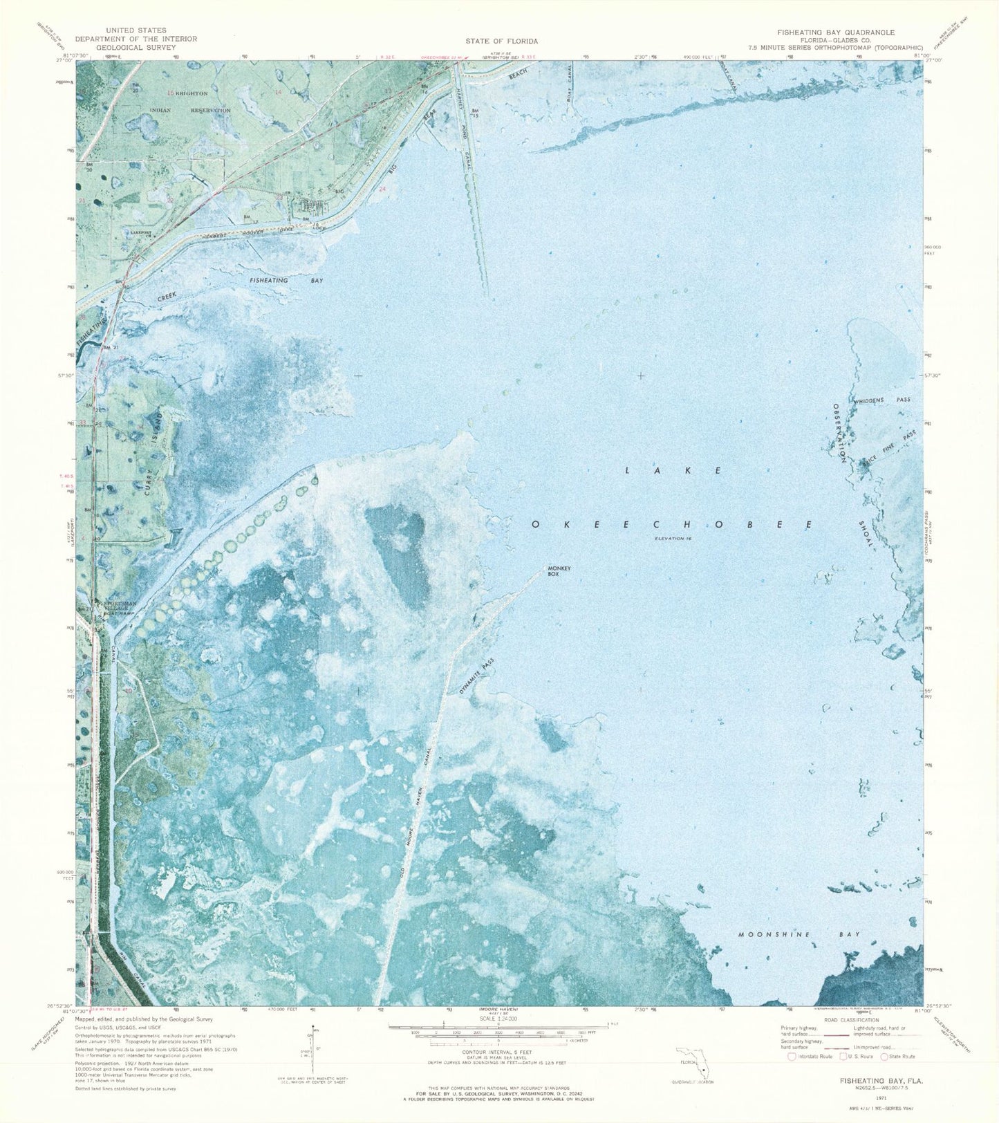
Classic USGS Fisheating Bay Florida 7.5'x7.5' Topo Map
Couldn't load pickup availability
Historical USGS topographic quad map of Fisheating Bay in the state of Florida. Map scale may vary for some years, but is generally around 1:24,000. Print size is approximately 24" x 27"
This quadrangle is in the following counties: Glades.
The map contains contour lines, roads, rivers, towns, and lakes. Printed on high-quality waterproof paper with UV fade-resistant inks, and shipped rolled.
Contains the following named places: Brice Fine Pass, Calusa Mobile Home Park, Curry Island, Cypress Ridge Estates Mobile Home Park, Dynamite Pass, Fisheating Bay, Fisheating Creek, Fisheating Creek Bridge, Glades County Emergency Medical Services Station 1, Lakeport Church, Lakeport Church of Christ, Lakeport Volunteer Fire Department, Monkey Box, Moonshine Bay, Old Moore Haven Canal, South Florida Water Management District Pumping Station 131, Whiddens Pass