
MyTopo
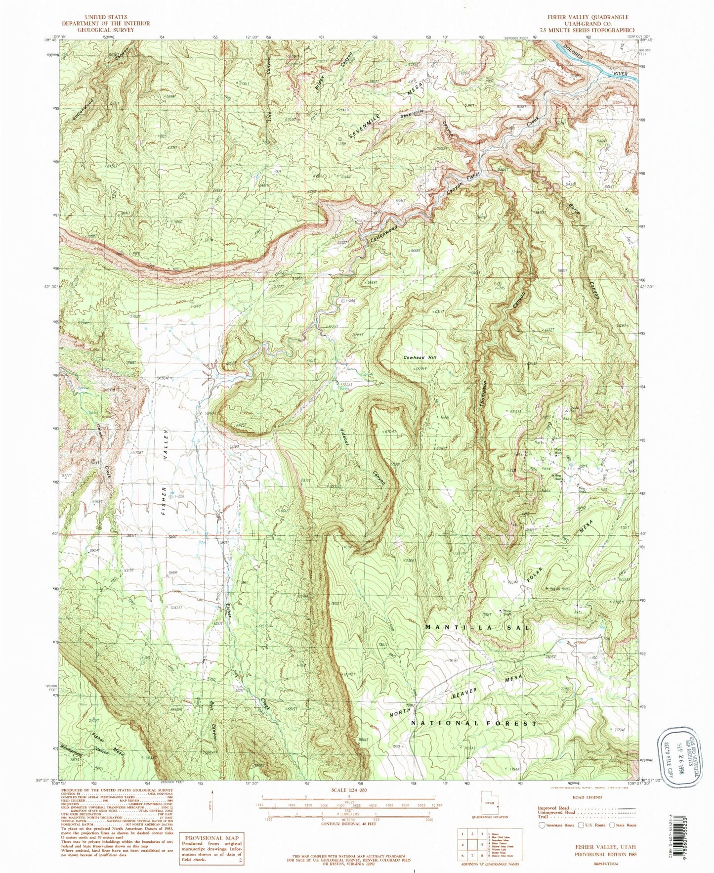
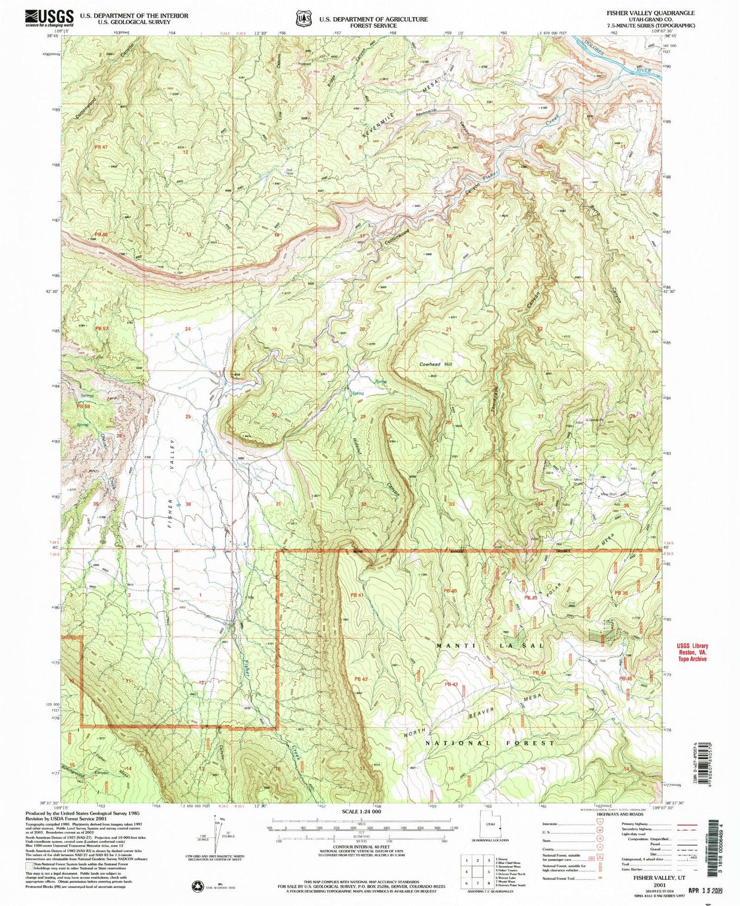
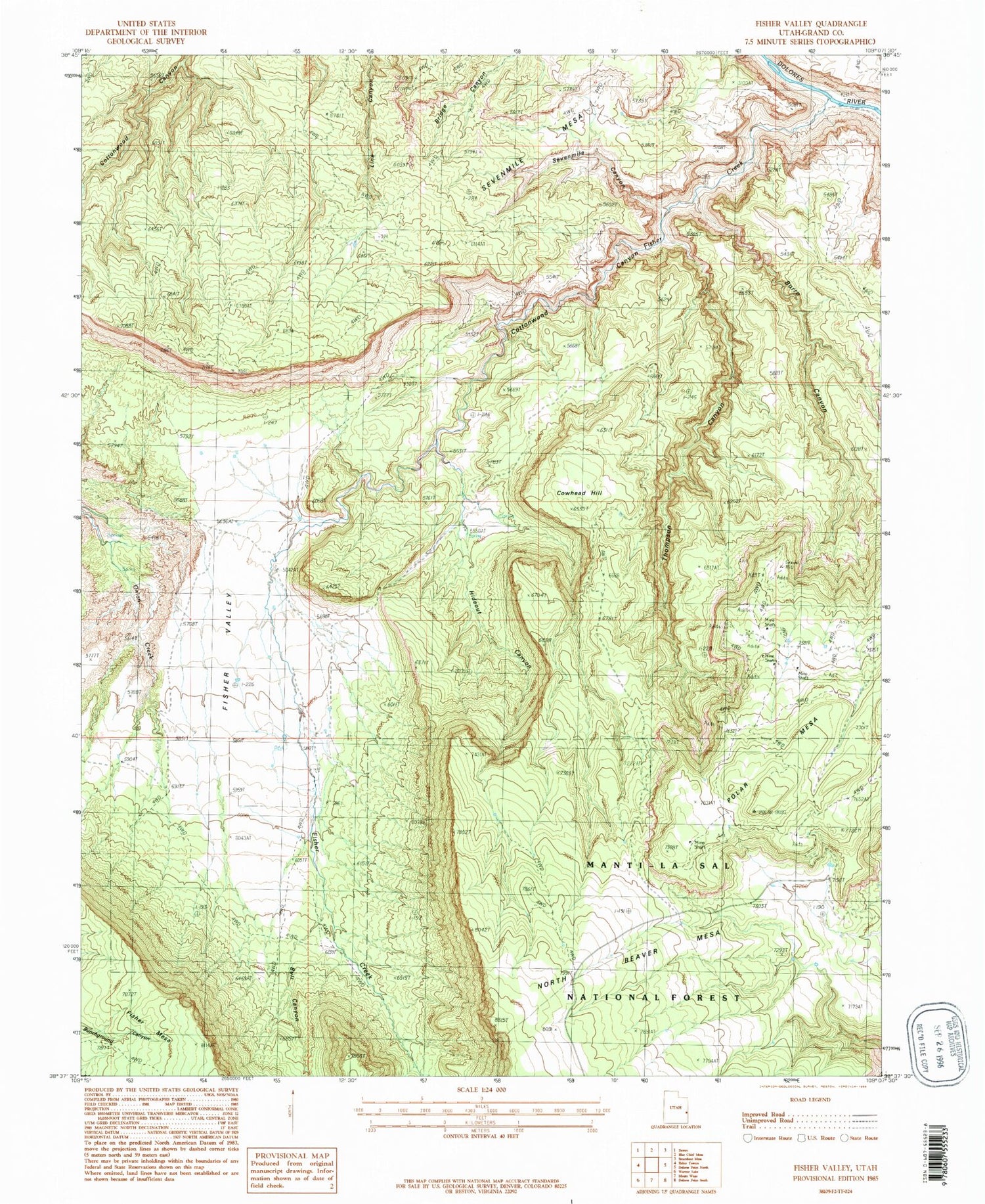
Classic USGS Fisher Valley Utah 7.5'x7.5' Topo Map
Regular price
$16.95
Regular price
Sale price
$16.95
Unit price
per
Couldn't load pickup availability
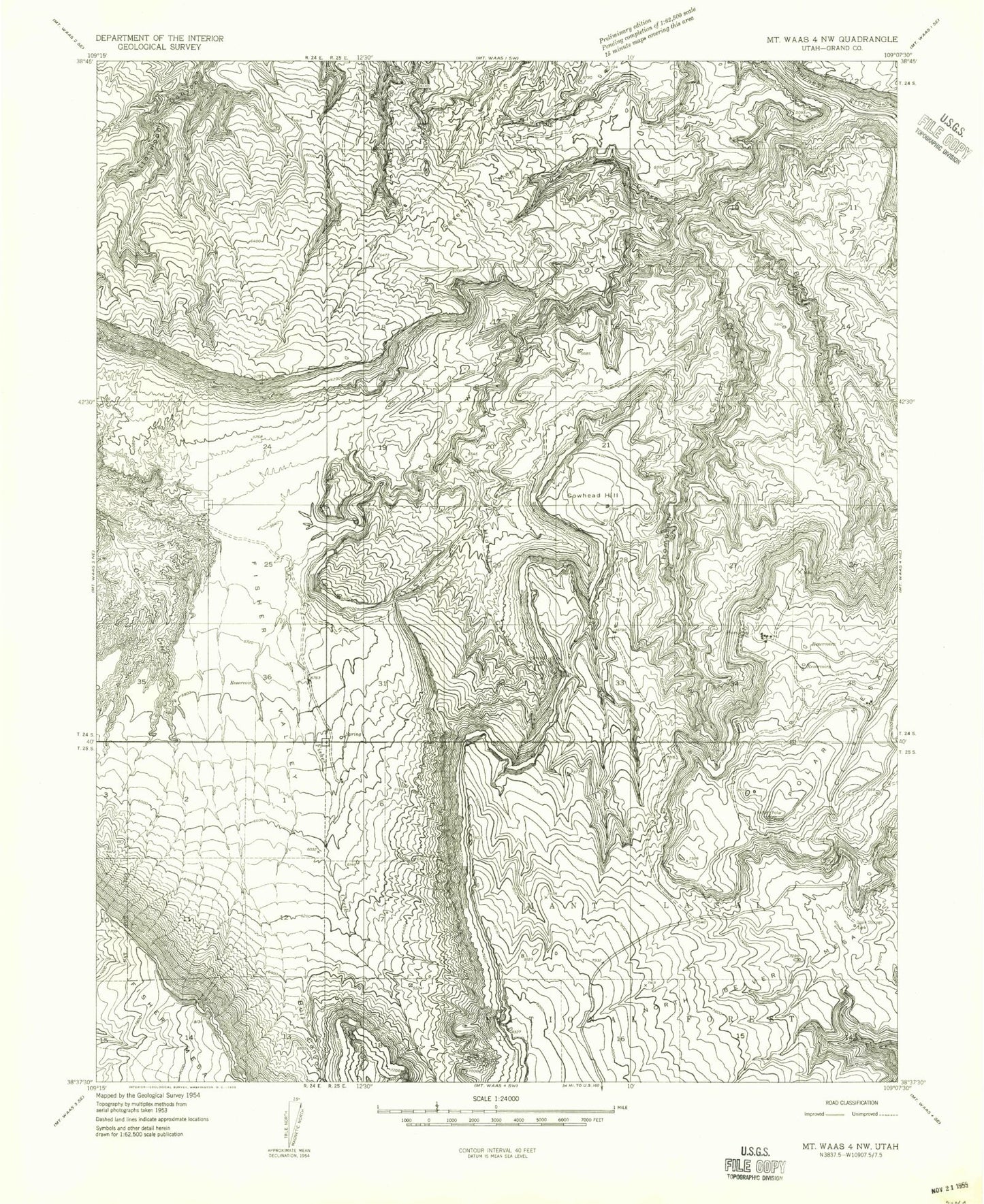
Historical USGS topographic quad map of Fisher Valley in the state of Utah. Map scale may vary for some years, but is generally around 1:24,000. Print size is approximately 24" x 27"
This quadrangle is in the following counties: Grand.
The map contains contour lines, roads, rivers, towns, and lakes. Printed on high-quality waterproof paper with UV fade-resistant inks, and shipped rolled.
Contains the following named places: Bull Canyon, Burro Canyon, Cottonwood Canyon, Cowhead Hill, Fisher Creek, Fisher Valley, Hideout Canyon, North Beaver Mesa, Polar Mesa, Sevenmile Canyon, Sevenmile Mesa, Thompson Canyon