
MyTopo
Classic USGS Fisher Illinois 7.5'x7.5' Topo Map
Couldn't load pickup availability
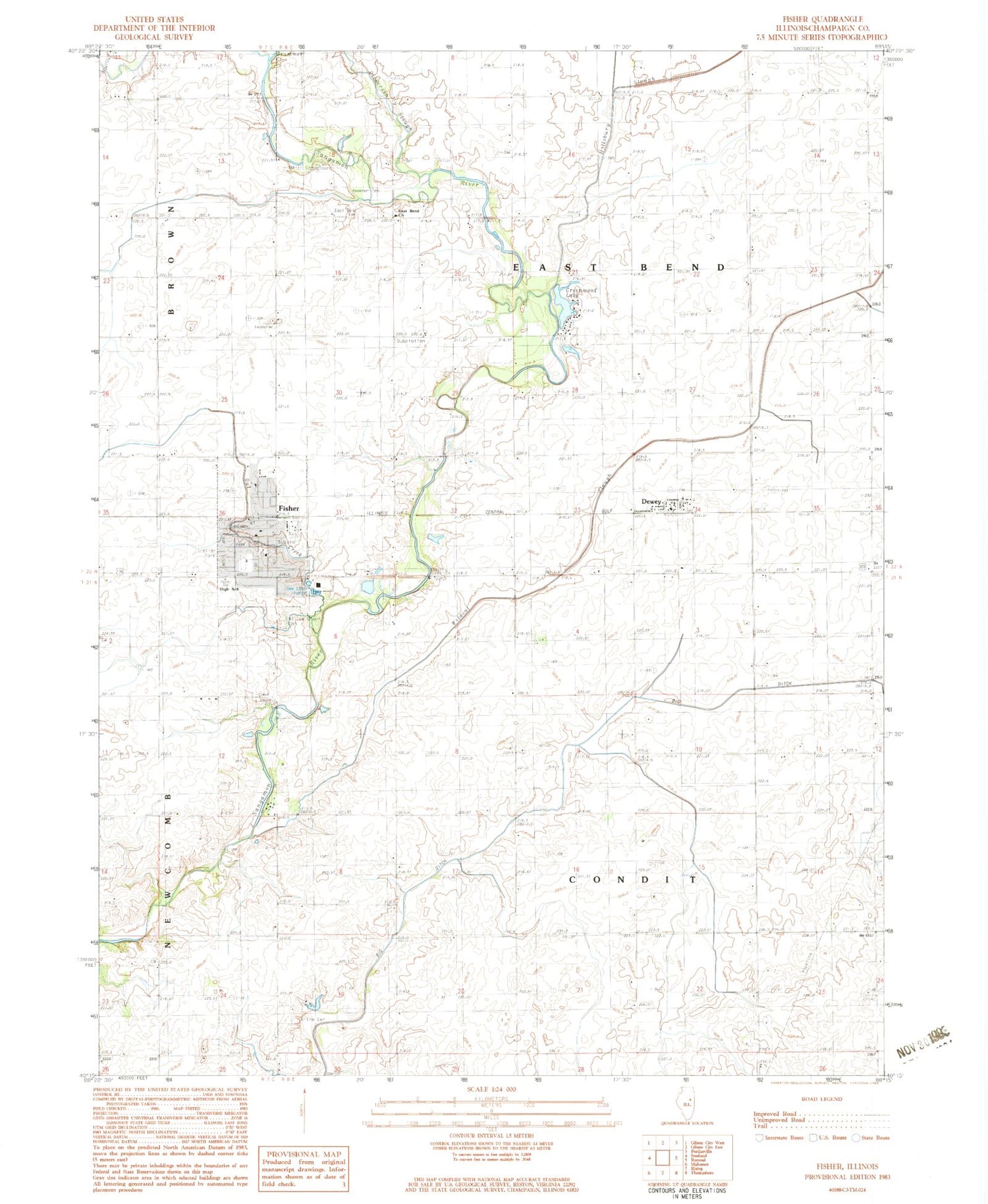
Historical USGS topographic quad map of Fisher in the state of Illinois. Map scale may vary for some years, but is generally around 1:24,000. Print size is approximately 24" x 27"
This quadrangle is in the following counties: Champaign.
The map contains contour lines, roads, rivers, towns, and lakes. Printed on high-quality waterproof paper with UV fade-resistant inks, and shipped rolled.
Contains the following named places: Beekman Cemetery, Big Ditch, Dewey, Dewey Census Designated Place, Dewey Mennonite Church, Dewey Post Office, Dickerson Slough, Drummer Creek, East Bend Memorial Gardens, East Bend Mennonite Church, Fisher, Fisher Church of Christ, Fisher Grade School, Fisher High School, Fisher Police Department, Fisher Post Office, Fisher United Methodist Church, Furtney Airport, Greenwood Lake, Greenwood Lake Dam, Hillsbury Slough, Houstonville Post Office, Knife Cemetery, Mounts School, Owl Creek, Sangamon Valley Fire Protection District Station 1, Sangamon Valley Fire Protection District Station 2, Township of Condit, Township of East Bend, Village of Fisher, Wildcat Slough, Willowbrook Cemetery, ZIP Codes: 61840, 61843


