MyTopo
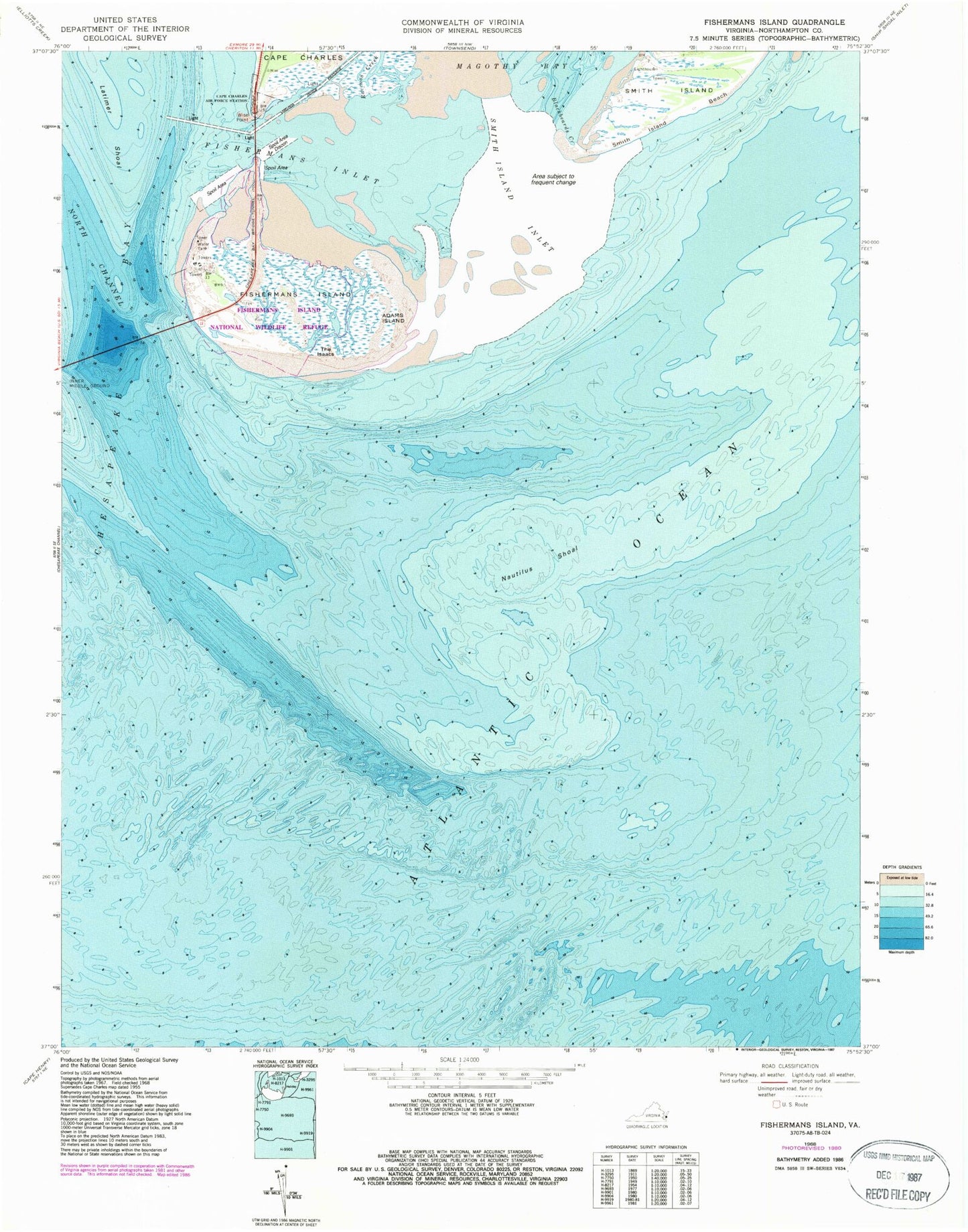
Classic USGS Fishermans Island Virginia 7.5'x7.5' Topo Map
Couldn't load pickup availability
Historical USGS topographic quad map of Fishermans Island in the state of Virginia. Map scale may vary for some years, but is generally around 1:24,000. Print size is approximately 24" x 27"
This quadrangle is in the following counties: Northampton, Virginia Beach (city).
The map contains contour lines, roads, rivers, towns, and lakes. Printed on high-quality waterproof paper with UV fade-resistant inks, and shipped rolled.
Contains the following named places: Adams Island, Blackbeards Creek, Cape Charles Lighthouse, Fisherman Island National Wildlife Refuge, Fishermans Inlet, Fishermans Inlet Bridge, Fishermans Island, Fishermans Island Light, Nautilus Shoal, Raccoon Creek, Smith Island Inlet, The Isaacs, Wise Point