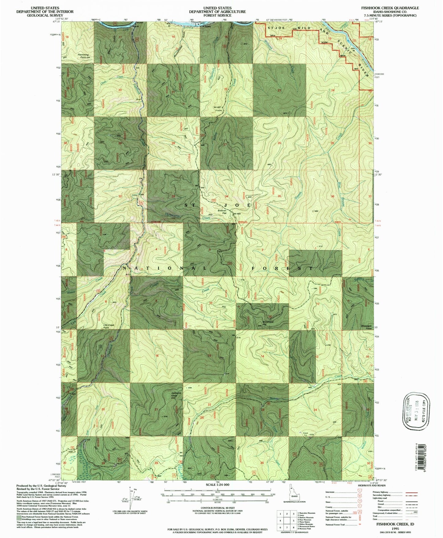
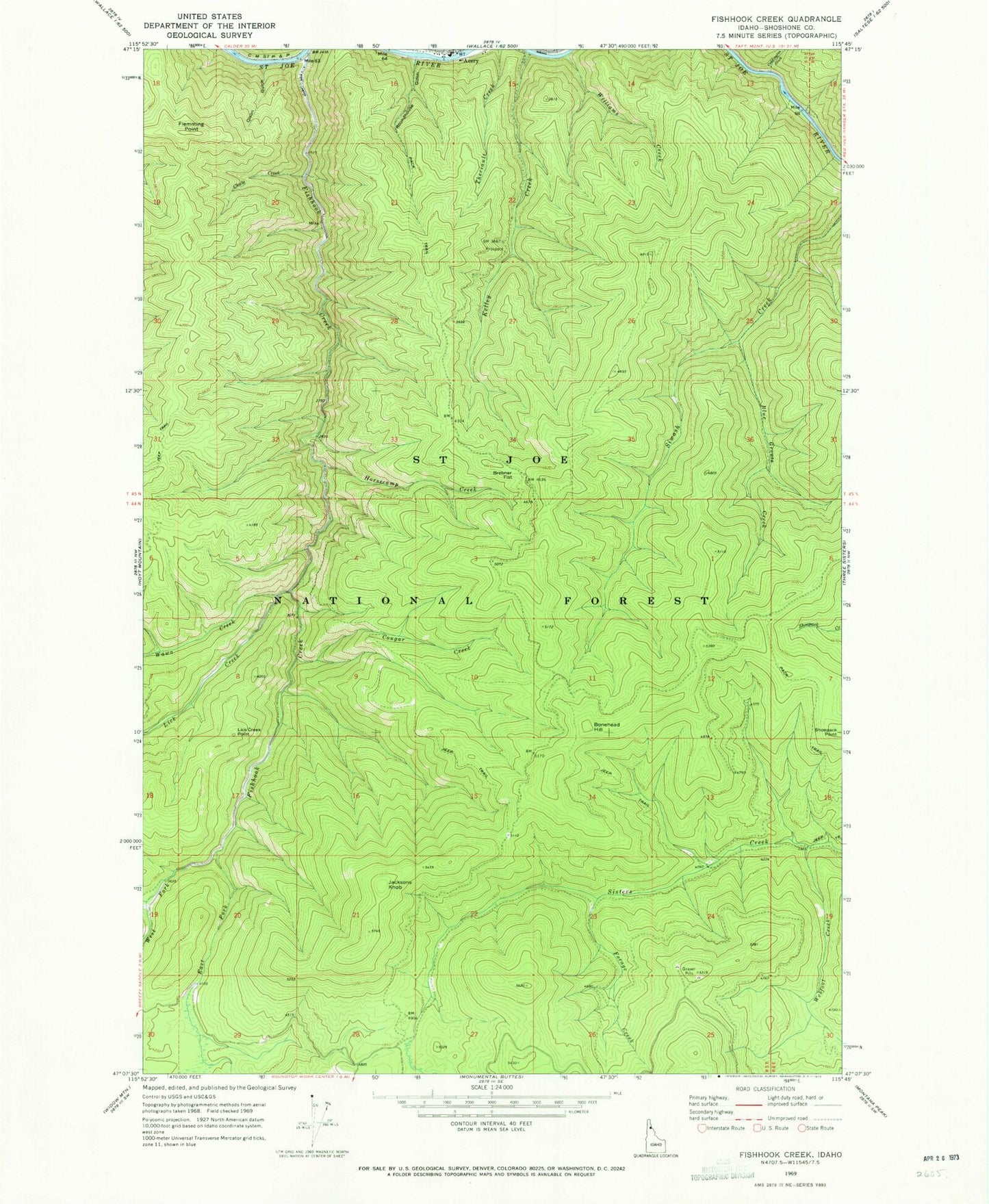
MyTopo
Classic USGS Fishhook Creek Idaho 7.5'x7.5' Topo Map
Couldn't load pickup availability
Historical USGS topographic quad map of Fishhook Creek in the state of Idaho. Map scale may vary for some years, but is generally around 1:24,000. Print size is approximately 24" x 27"
This quadrangle is in the following counties: Shoshone.
The map contains contour lines, roads, rivers, towns, and lakes. Printed on high-quality waterproof paper with UV fade-resistant inks, and shipped rolled.
Contains the following named places: Avery-Clarkia Division, Blue Grouse Creek, Bonehead Hill, Brebner Flat, Chute Creek, Coddington Creek, Coddington Gulch, Cougar Creek, East Fork Fishhook Creek, Fishhook Creek, Flemming Point, Forage Creek, Horsecamp Creek, Jacksons Knob, Kelley Creek, Lick Creek, Lick Creek Point, Olson Gulch, Outlaw Creek, Roundhouse Gulch, Wawa Creek, Webfoot Creek, West Fork Fishhook Creek, Williams Creek