MyTopo
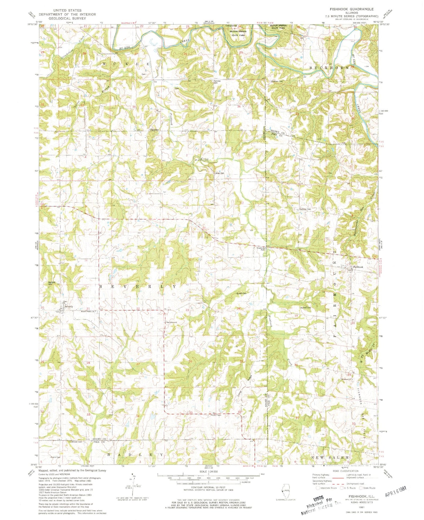
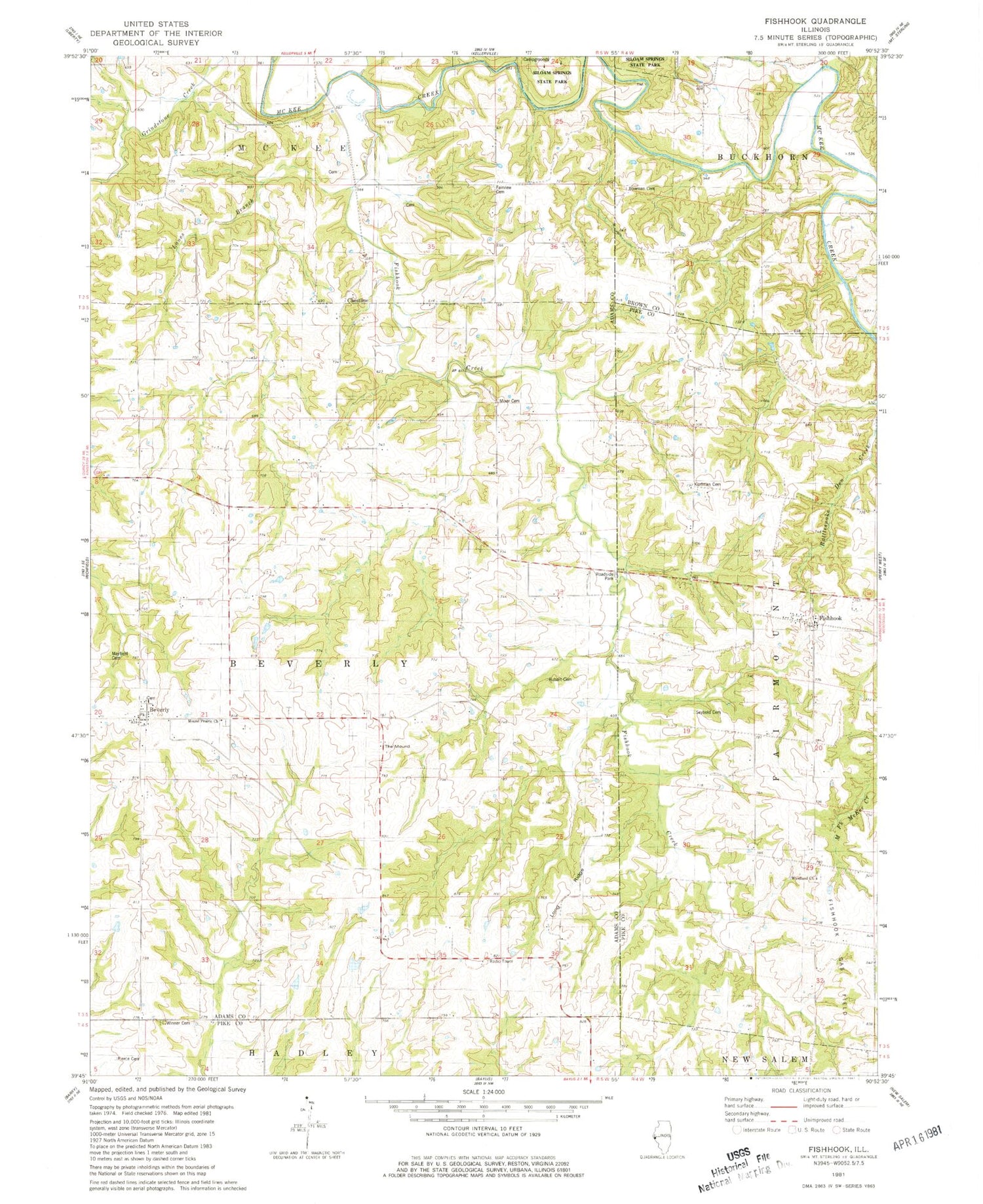
Classic USGS Fishhook Illinois 7.5'x7.5' Topo Map
Couldn't load pickup availability
Historical USGS topographic quad map of Fishhook in the state of Illinois. Map scale may vary for some years, but is generally around 1:24,000. Print size is approximately 24" x 27"
This quadrangle is in the following counties: Adams, Brown, Pike.
The map contains contour lines, roads, rivers, towns, and lakes. Printed on high-quality waterproof paper with UV fade-resistant inks, and shipped rolled.
Contains the following named places: Beverly, Beverly Census Designated Place, Beverly Old Cemetery, Bowman Cemetery, Chestline, Crabapple Creek, East School, Fairmount School, Fairview Cemetery, Ferguson Ford, Fishhook, Fishhook Creek, Greenwood School, Highland School, Kurfman Cemetery, Lanes Branch, Little Missouri Creek, Long Ridge, Mayfield Family Cemetery, Mixer Family Cemetery, Mound Prairie Cemetery, Mound Prairie Church, Mound School, Oak Grove School, Perrigo Cemetery, Pierce Cemetery, Pleasant Hill School, Reddick School, Rubart Cemetery, Seybold Cemetery, The Mound, Township of Beverly, Whitaker Cemetery, Winner Cemetery, Woodland Cemetery, Woodland Church, Woodland School, ZIP Code: 62314