MyTopo
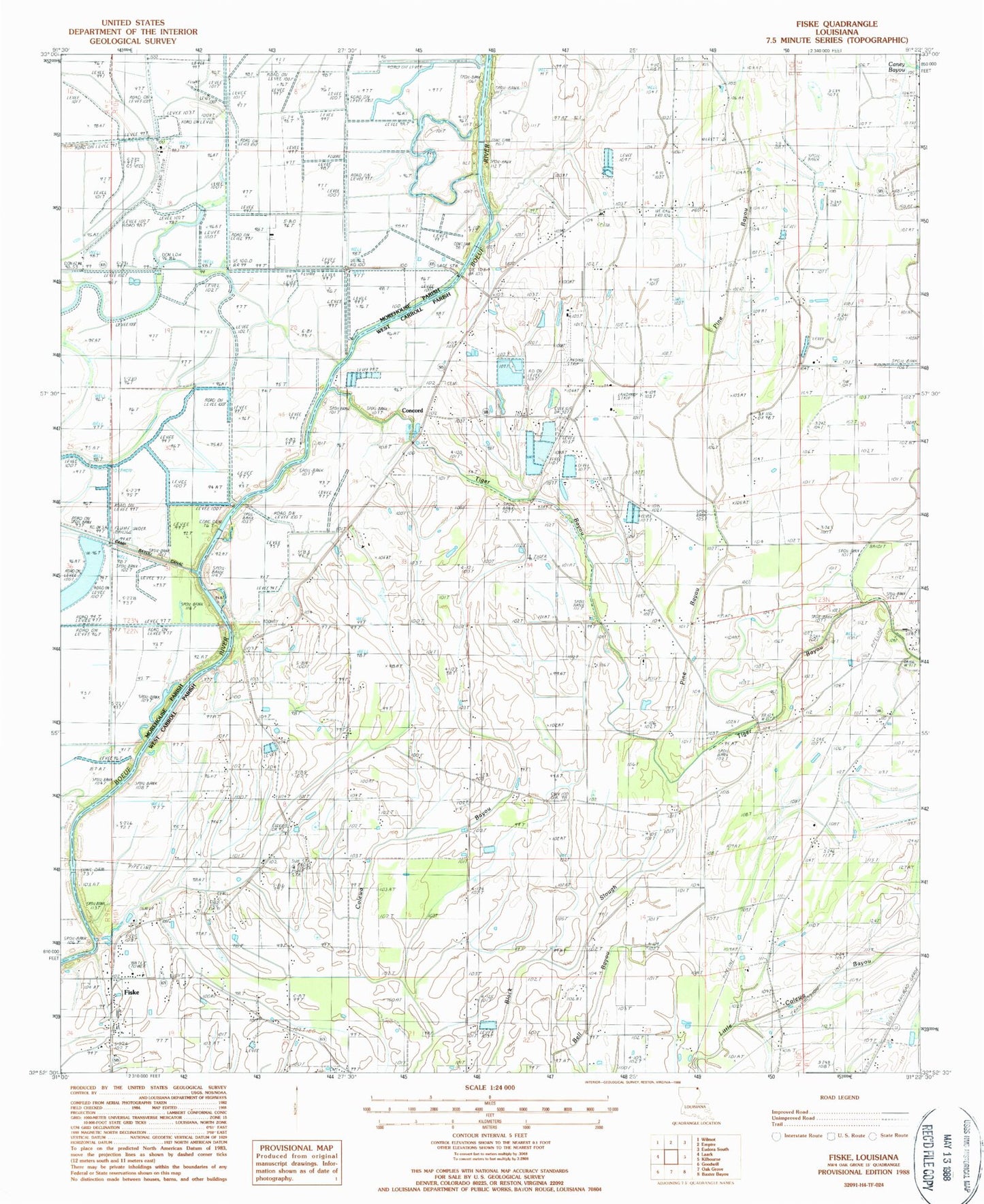
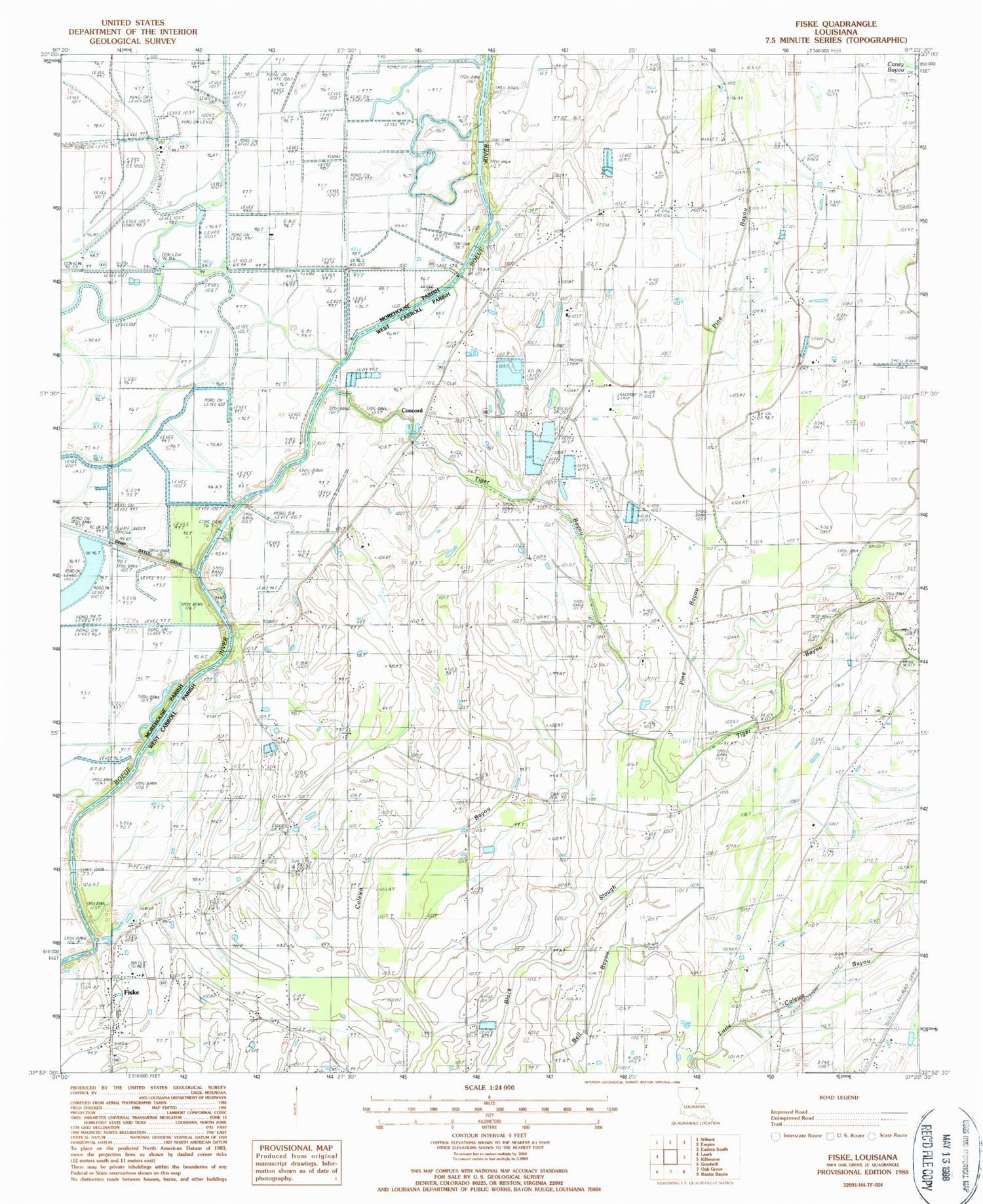
Classic USGS Fiske Louisiana 7.5'x7.5' Topo Map
Couldn't load pickup availability
Historical USGS topographic quad map of Fiske in the state of Louisiana. Map scale may vary for some years, but is generally around 1:24,000. Print size is approximately 24" x 27"
This quadrangle is in the following counties: Morehouse, West Carroll.
The map contains contour lines, roads, rivers, towns, and lakes. Printed on high-quality waterproof paper with UV fade-resistant inks, and shipped rolled.
Contains the following named places: Beulah Church, Camp Bayou, Concord, Concord Church, Concord Volunteer Fire Department Central Station, Concord Volunteer Fire Department Macedonia Station, Costello Airport, Dam 73, Dam 76, Dam 78, Dam 80, Fiske, Fiske Union School, Fiske Union Volunteer Fire Department Central Station, Fiske Union Volunteer Fire Department North Station, Green Cove Church, Macedonia Church, Parish Governing Authority District E, Pine Bayou, Saint Clemith Church, Tiger Bayou