
MyTopo
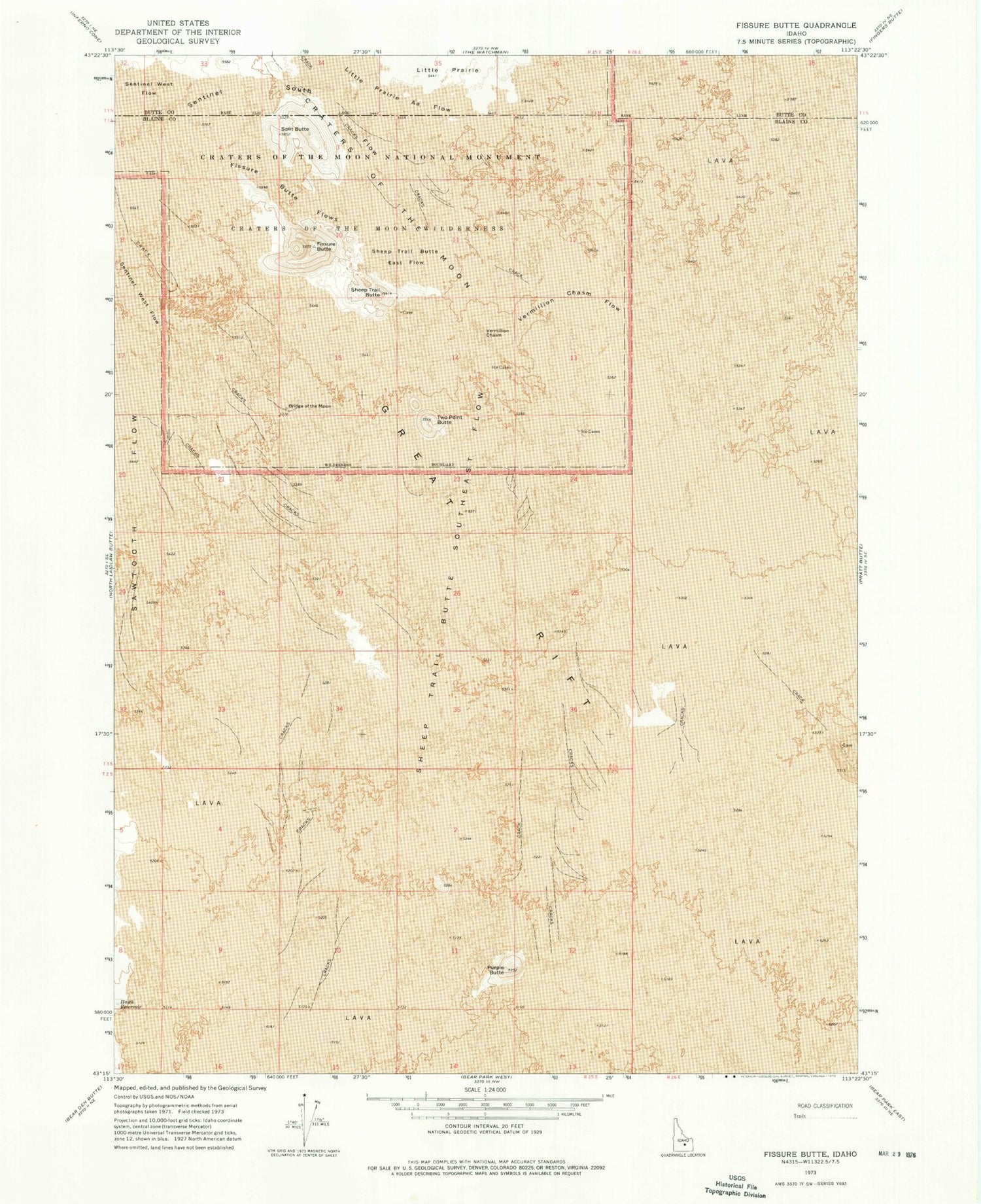
Classic USGS Fissure Butte Idaho 7.5'x7.5' Topo Map
Regular price
$16.95
Regular price
Sale price
$16.95
Unit price
per
Couldn't load pickup availability
Historical USGS topographic quad map of Fissure Butte in the state of Idaho. Map scale may vary for some years, but is generally around 1:24,000. Print size is approximately 24" x 27"
This quadrangle is in the following counties: Blaine, Butte.
The map contains contour lines, roads, rivers, towns, and lakes. Printed on high-quality waterproof paper with UV fade-resistant inks, and shipped rolled.
Contains the following named places: Bridge of the Moon, Fissure Butte, Fissure Butte Flows, Purple Butte, Sawtooth Flow, Sentinel South Flow, Sentinel West Flow, Sheep Trail Butte, Sheep Trail Butte East Flow, Sheep Trail Butte Southeast Flow, Split Butte, Two Point Butte, Vermilion Chasm, Vermilion Chasm Flow


