MyTopo
Classic USGS Fitzgerald Hill Arizona 7.5'x7.5' Topo Map
Couldn't load pickup availability
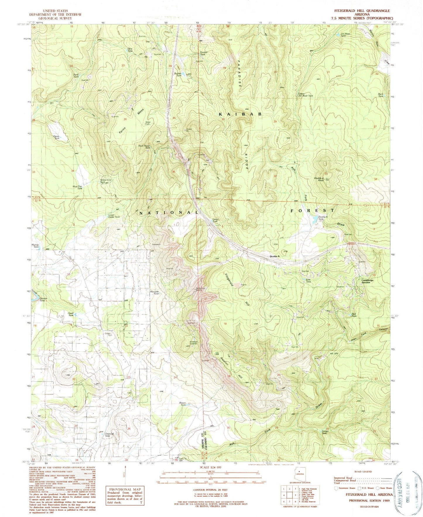
Historical USGS topographic quad map of Fitzgerald Hill in the state of Arizona. Map scale may vary for some years, but is generally around 1:24,000. Print size is approximately 24" x 27"
This quadrangle is in the following counties: Coconino, Yavapai.
The map contains contour lines, roads, rivers, towns, and lakes. Printed on high-quality waterproof paper with UV fade-resistant inks, and shipped rolled.
Contains the following named places: Antelope Quarries, Antelope Spring, Antolini Hill, Blue Cow Tank, Brown Tank, Buck Tank, Bunker Tank, Cedar Tank, Charcoal Tank, Cucamonga Junction, Daves Tank, Dog Tank, Double A Knoll, Double A Ranch, Double A Siding, Double A Tank, Dunbar Tank, Ferno Mesa, Ferno Trick Tank, Fitzgerald Hill, Garden Tank, Hazel Tank, Hop Tank, Jim River Tank, Juan Tank Canyon, Kaibab Estates West, Kaibab Estates West Fire Department, Lawson Mine, Lost Tank, Lower Cedar Tank, Murray Tank, Okie Tank, Paradise Ridge, Punk Tank, Red Tank, Rock House Tank, Santa Cruz Quarry, Santa Fe Well, Shavel Tank, Steiger Tank, Top Tank, Twin Tank, Upper Jim River Tank, Westside Tank, Yellow Cow Tank