MyTopo
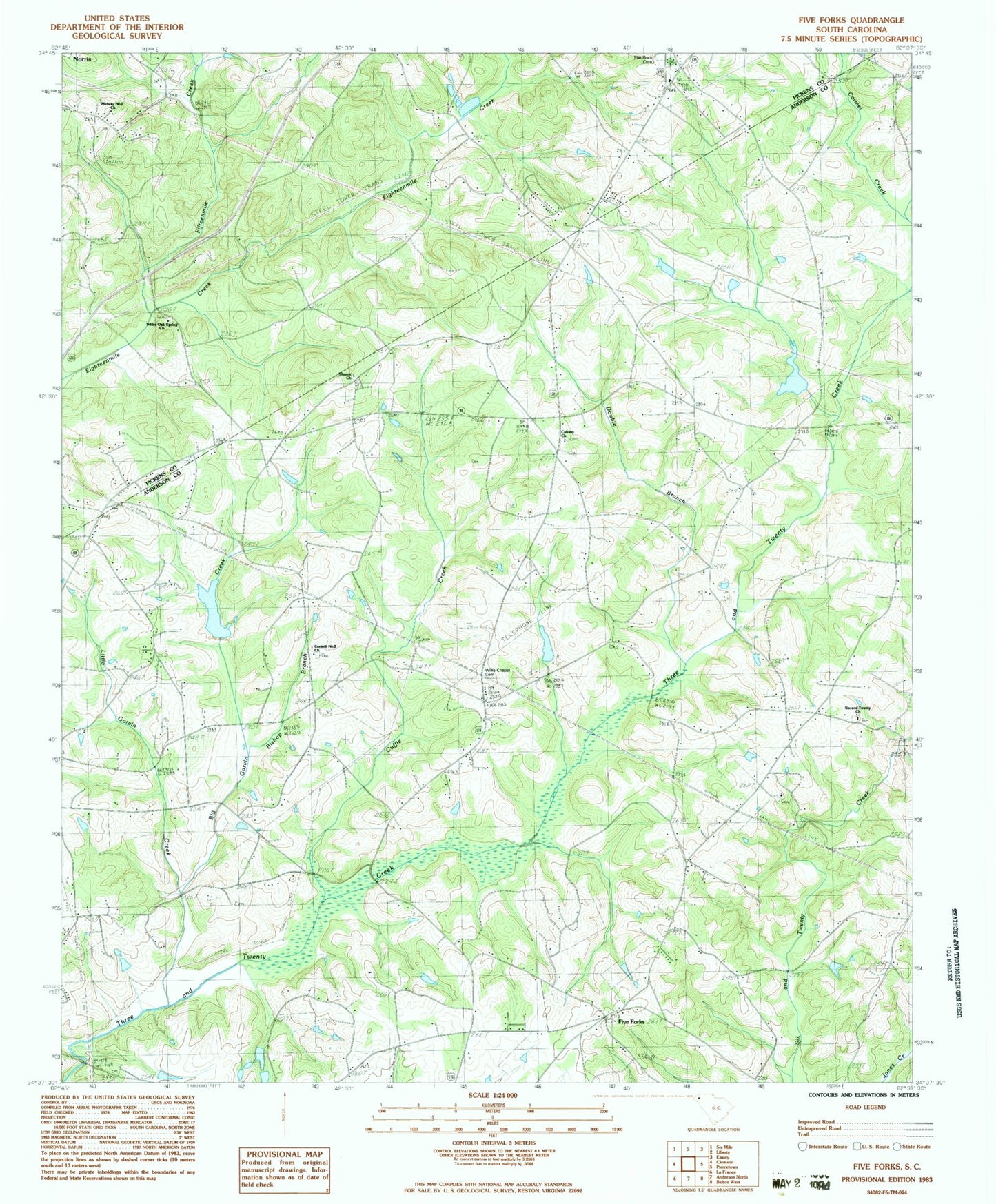
Classic USGS Five Forks South Carolina 7.5'x7.5' Topo Map
Couldn't load pickup availability
Historical USGS topographic quad map of Five Forks in the state of South Carolina. Map scale may vary for some years, but is generally around 1:24,000. Print size is approximately 24" x 27"
This quadrangle is in the following counties: Anderson, Pickens.
The map contains contour lines, roads, rivers, towns, and lakes. Printed on high-quality waterproof paper with UV fade-resistant inks, and shipped rolled.
Contains the following named places: Big Garvin Creek, Bishop Branch School, Calvary Baptist Church Graveyard, Calvary Church, Carmel Creek, Cedar Ridge Farm, Clemson University Pond Dam D-3113, Corinth Number 2 Church, Corinth Number Two Baptist Church Graveyard, Cuffie Creek, Double Branch, F Revves Pond Dam D-3264, Fifteenmile Creek, Five Forks, Flat Rock Baptist Church, Flat Rock Cemetery, Gillespie Lake, H T Double Pond Dam D-3271, Hickory Flat Post Office, Little Garvin Creek, Majors Post Office, McElmoyle School, Melton School, Meltons Academy, Midway Number 2 Church, Mount Able Baptist Church, Mount Able School, Oak Grove School, Pendleton Division, Pickens Creek, Praters Store, Ruhamah School, Septus Post Office, Shady Grove School, Sharon Cemetery, Sharon Church, Simpson Cemetery, Six and Twenty Church, South Carolina Noname 04014 D-3124 Dam, South Carolina Noname 04020 D-3121 Dam, South Carolina Noname 04031 D-3114 Dam, Symmes Church, Symmes Mill, Symmes School, Three and Twenty Creek Watershed Five Lake, Walker McElmoyle Fire Department - Anderson County Station 16, White Oak School, White Oak Spring Church, Willis Chapel, Willis Chapel Methodist Church Graveyard, ZIP Code: 29670


