MyTopo
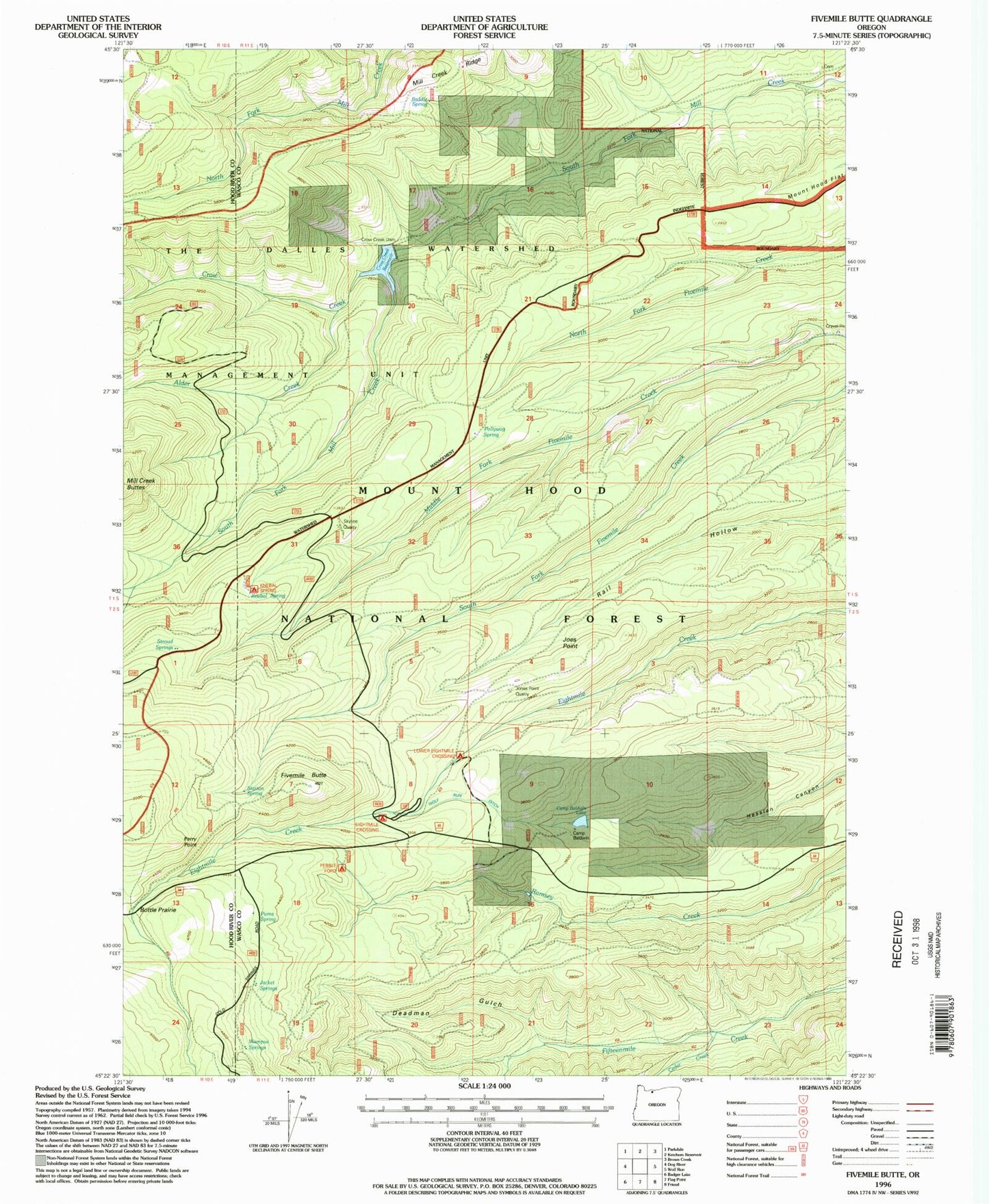
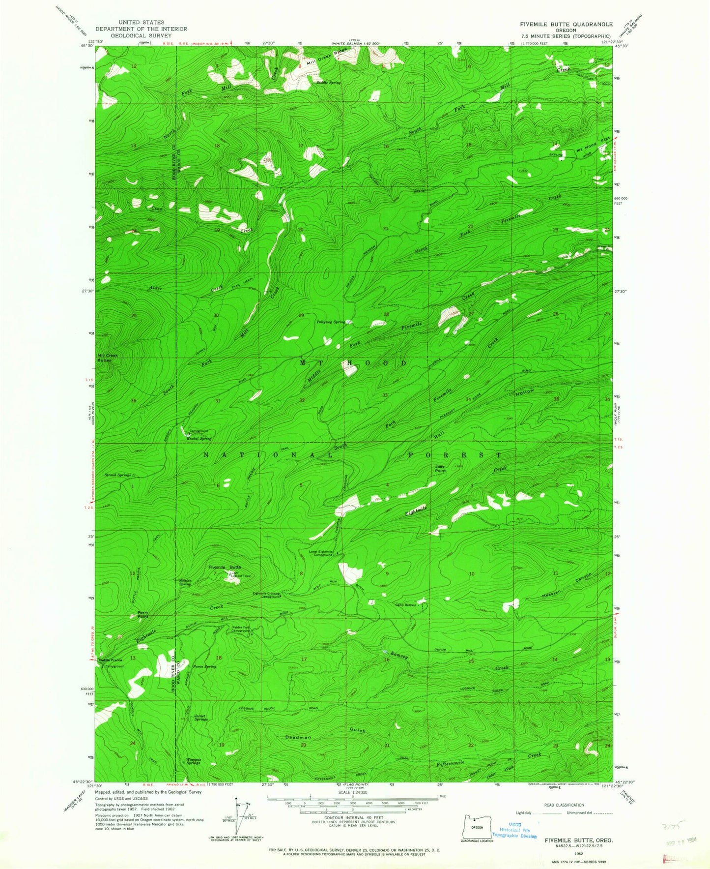
Classic USGS Fivemile Butte Oregon 7.5'x7.5' Topo Map
Couldn't load pickup availability
Historical USGS topographic quad map of Fivemile Butte in the state of Oregon. Typical map scale is 1:24,000, but may vary for certain years, if available. Print size: 24" x 27"
This quadrangle is in the following counties: Hood River, Wasco.
The map contains contour lines, roads, rivers, towns, and lakes. Printed on high-quality waterproof paper with UV fade-resistant inks, and shipped rolled.
Contains the following named places: Alder Creek, Bottle Prairie Trail, Camp Baldwin, Cedar Creek, Crow Creek, Deadman Gulch, Fifteenmile Creek Trail, Fivemile Butte, Jacket Springs, Joes Point, Johns Mill Trail, Knebal Spring, Lower Eightmile Crossing Recreation Site, Pebble Ford Recreation Site, Perry Point, Pollywog Spring, Puma Spring, Saddle Spring, Station Spring, Stroud Springs, Wampus Springs, Knebal Spring Recreation Site, Glade Spring, Birdseye Spring, Bascom Spring, Crow Creek Dam, Crow Creek Reservoir, Hillary Grade, Camp Baldwin Lake, Eightmile Crossing Recreation Site, Underhill Recreation Site, Joe's Point Quarry, Skyline Quarry, Fifteenmile Creek Wild and Scenic River


